| Difficulty | II(III) |
| Length | 5.3 mi |
| Avg Gradient | 25 fpm |
| Gauge | Deerfield River at Charlemont, Ma |
| Flow Rate as of 1 hour | 923 cfsrunnable |
| Reach Info Last Updated | August 9, 2023 |
On October 5, 1994, American Whitewater signed a landmark settlement agreement with the New England Power Company, anglers, conservationists, and government agencies regarding the management of the Deerfield River (FERC P-2323). Located in Western Massachusetts, the Deerfield River is a classic whitewater run, and the settlement recognized its recreational, [...]Read More
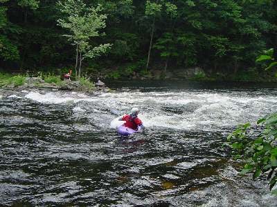
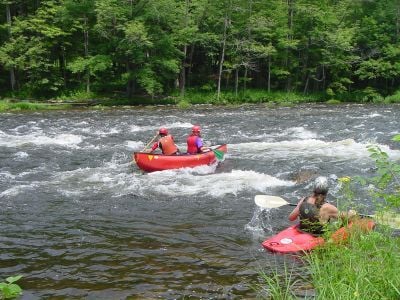
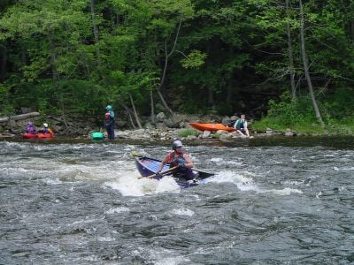
The Fife Brook section of the Deerfield River is a popular Class II run in Northwestern Massachusetts. The Fife Brook section ends with the Class III Zoar Gap Rapid, that can be easily portaged along the road on river right.
Fife Brook is one of the best sections for instruction in the Northeast drawing those interested in learning to paddle whitewater from a wide geographic area. It's generally shallow, with a consistent class II rapids, good recovery pools or stretches, and the bigger challenge of Zoar Gap at the end which can be easily scouted or portaged.
Notes on Flow: The USGS gage is several miles downstream from this section and two major tributaries, the Chickley and the Cold, flow in between this run and the gage. Therefore the downstream USGS gage offers only limited insight on whether the river is flowing. The important information to know is whether the dam is releasing and Waterline offers this release schedule and an estimated flow. This is especially helpful during spring runoff when water is flowing over the dam or they are releasing when it is too high.
Look here for data: Deerfield Riv at Fife Brook Dam Florida MA. The following ranges are from Waterline and not from the USGS gage at Charlemont:
700-1000 cfs: a standard release level.
1000-1500: the river gets a bit bigger, but not much harder.
2000 cfs: significant sections of rapids wash out, and new holes develop. Rapids are not significantly more challenging (i.e. still class II) until Zoar Gap. Zoar Gap becomes a whole different beast and above 2500 cfs, Zoar Gap is very solid class IV big water; watch out for some nasty holes in Baby Gap that are backed up by huge eddies.
You can put in on river right near the dam at the end of the road where a stairway and raft slide leads down to the river. This access is primarily used by outfitters. Most boaters use the access point 0.1 downstream at the vehicle turn around and parking area.
Easy straightforward rapid with a big eddy to the left and medium-sized eddy on the right. A large pool at the bottom makes it easy to recover equipment for anyone who has issues.
Good surfing at the bottom of the drop. Large eddy and rock beach downstream on river left.
Nice surfing waves, good squirt lines at the bottom under the railroad bridge.
Also known as Rock Garden. Medium size boulders in this long rapid are great for eddy practice.
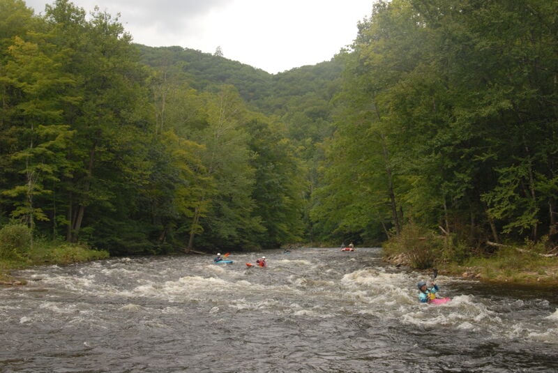
After a period of calm water with cliffs on river right, the river splits around an island. River right is shallow and not recommended, but paddleable. River left of the island is good fun, fast class II-, and then builds in intensity finishing with a few pourover and larger waves as it rejoins the river right flow. Big eddies on either side provide recovery and allow for ferry practice or play.
Below Island Rapid the river is shallow and fast moving as you approach a sign that says 'Rapids Ahead, Portage/Take-Out.' Stop at this point if you want to scout or walk. To scout, walk along the road (beware of poison ivy growing into the road) until it becomes obvious you are at the gap.
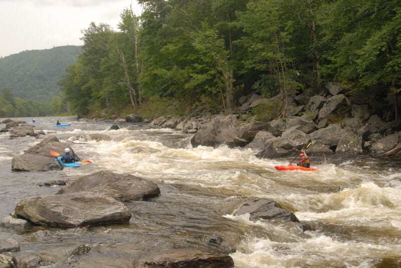
Zoar Gap is by far the most constricted passage on this section of the Deerfield. An upper 'drop,' has an easy tongue on river right, and a pour-over river left. Ride the tongue down and either punch the two holes below, where the vast majority of the water flows, or cut hard right above the first hole to avoid them. A far right sneak route used to be an option, but high flows from Hurricane Irene modified the channel filling this line with shallow rocks.
More advanced paddlers can catch the eddy below the pour-over and then work river left, catching a boiling micro eddy just above the first hole.
Below the Gap is the 'Baby Gap' which is rock-dodging class II and is great for practicing eddy catching, ferrying, or attaining.
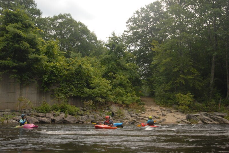
Take-out on river left at Zoar Picnic Area. A wide trail up river left immediately below the bridge is the first option. Another good access is available where a set of stairs ascends up from the river a short distance downstream of the bridge. This picnic area can get busy on summer weekends as it is also a popular gathering place for families and large groups with many who enjoy tubing.
Jun 2, 2025
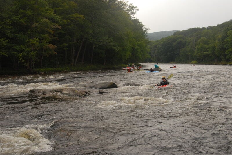
Here is some footage of the put in area of Fife on 6/1/25 at around 4000 cfs, after raining all day the day before.
Aug 3, 2023
In advance of the American Whitewater board meeting at Deerfield Festival, a few members of American Whitewater staff and board got out on the river for a Thursday afternoon summer release.
May 9, 2016
Zoar Gap
Aug 19, 2003
More of my photos can be found on my NEW kayakingphotos.com page and my American Whitewater page.
Jul 5, 2003
More of my photos can be found on my NEW kayakingphotos.com page and my American Whitewater page.
More of my photos can be found on my NEW kayakingphotos.com page and my American Whitewater page.
More of my photos can be found on my NEW kayakingphotos.com page and my American Whitewater page.