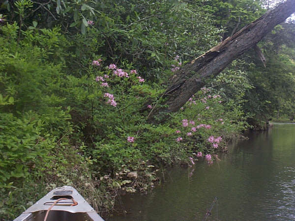
Sideling Hill Creek (Potomac River trib.)
Purcell PA (SR 2011) to Zeigler Rd (above Potomac R. MD side).
| Difficulty | I-II |
| Length | 24 mi |
| Avg Gradient | 15 fpm |
| Gauge | Sideling Hill Creek Near Bellegrove, Md |
| Flow Rate as of 55 minutes | 0.58 ftbelow recommended |
| Reach Info Last Updated | February 22, 2026 |
This is not to be confused with the other Sideling Hill Creek, which hangs out in Pennsylvania.
Ed Evangelidi testifies:
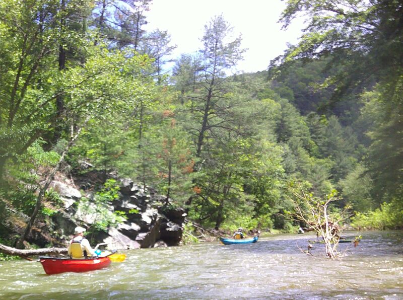
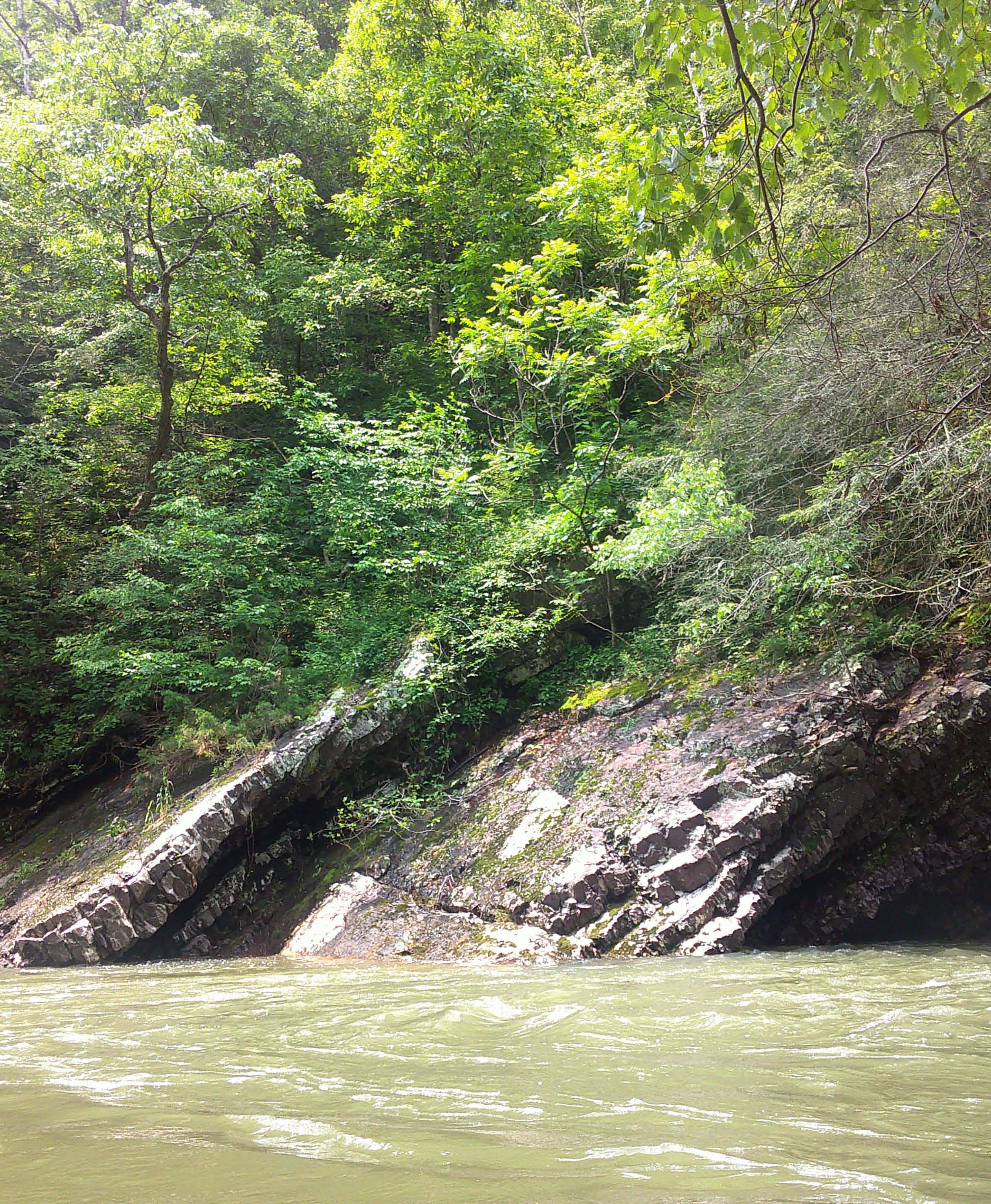
You can spend a lovely day above I-68 or below. Your choice. The stretch above the interstate is mostly private land but has little development and the stretch below the interstate is partly in government hands. Both have lovely rugged hills and bouncy but tame rapids. The next bridge down from the interstate makes a good putin or takeout and has a painted gauge that should read at least 2 feet. The takeout area is presently in a state of flux, with bridge work and a major bike construction project. But there is access that might change from time to time. Exercise caution in hunting season.
The following info. is from John Duke. Email me with any questions!
Camping areas
The best is Greenridge state Forest, having 100 campsites spaced out between Sideling Hill Creek and Town Creek.One site(#85) is right on the banks of Sideling. You must register at the headquarters before camping.
Access Points
Mile 0.0--Robinsonville road bridge (sr 2011) has good access over the West Branch,it also has a painted gauge on downstream river left.
Mile 0.4--Sideling hill road (tr 330) has decent access over the TINY East Branch.
Mile 3.0--Try putting in on the rt.26 bridge over Piney creek for a 1 mile ride with a 50 foot drop to the confluence.
Mile 4.3--Silver Mills road bridge (tr319) - Has good parking but you will have to push through some stickers!
Mile 7.5--Rt.484 bridge - has good parking but there are cows and fences around.
Mile 8.8--Dirt road ford off of rt.484. This looks like a pretty good access point.
Mile 13.4--High Germany road bridg
...Robinsonville road bridge (sr 2011) has good access over the West Branch,it also has a painted gauge on downstream river left.
High Germany road bridge. The Nature Conservancy owns 2000 feet of Land on river left with good parking.
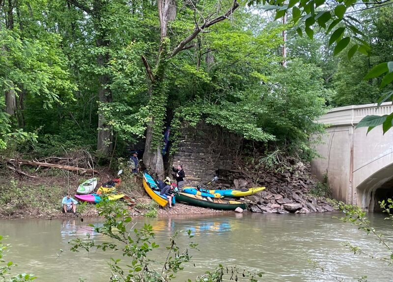
Old National Pike/US 40 bridge. This is the most used access on this stream, separating what is considered the upper and lower sections.
Harry Norris road ford - very good access on Nature Conservancy land.
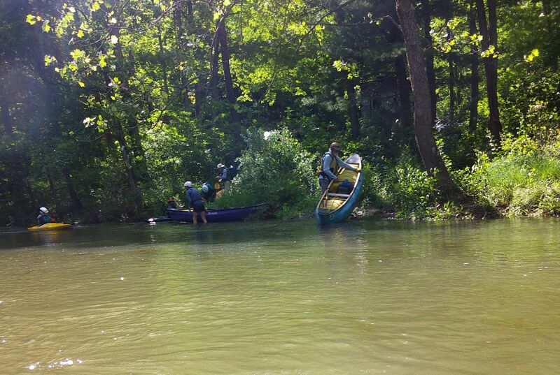
Cliff Road - there is very good access at Greenridge State Forest campsite #85.
Zeigler road bridge is open.- there is good roadside parking .
Apr 25, 2015
The Thursday Paddlers ran this creek on April 23, 2015. Here's a little video:
http://youtu.be/-mIqpLidj70
Dec 15, 2002
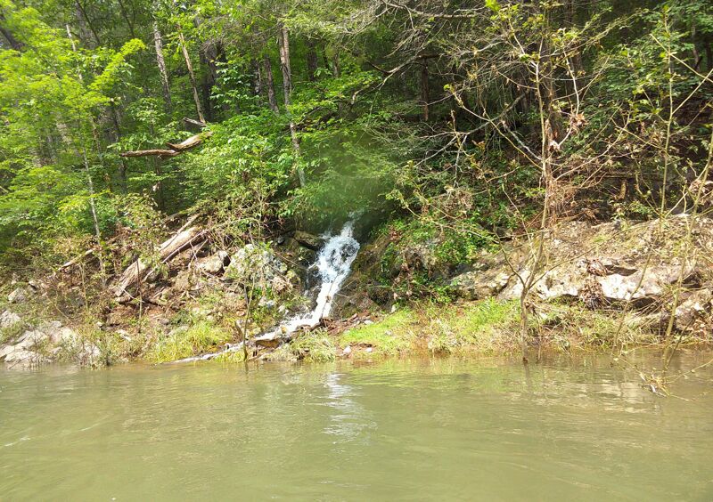
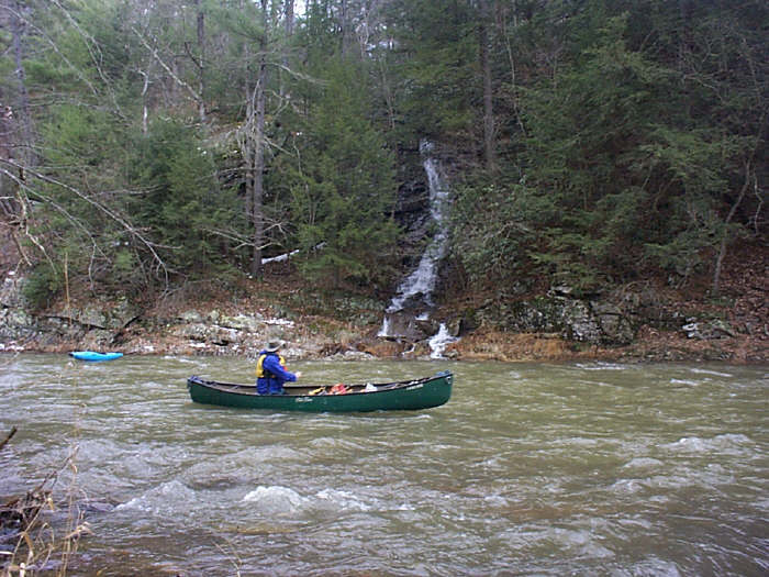
Bill enjoys one of the many side waterfalls.
Why is there a Kayak aimlessly floating around?
The next three pictures are on the Rt. 40 to Norris road section,so far my favorite on this creek
At 3.3 this little creek has 675 c.f.s. and takes on a class 2+ characteristic
At 675 c.f.s. this creek has nice waves,small holes and no rocks to dodge