| Difficulty | IV-V |
| Length | 10 mi |
| Avg Gradient | n/a |
| Reach Info Last Updated | May 30, 2014 |
River Description
River info provided by Nate Warren:
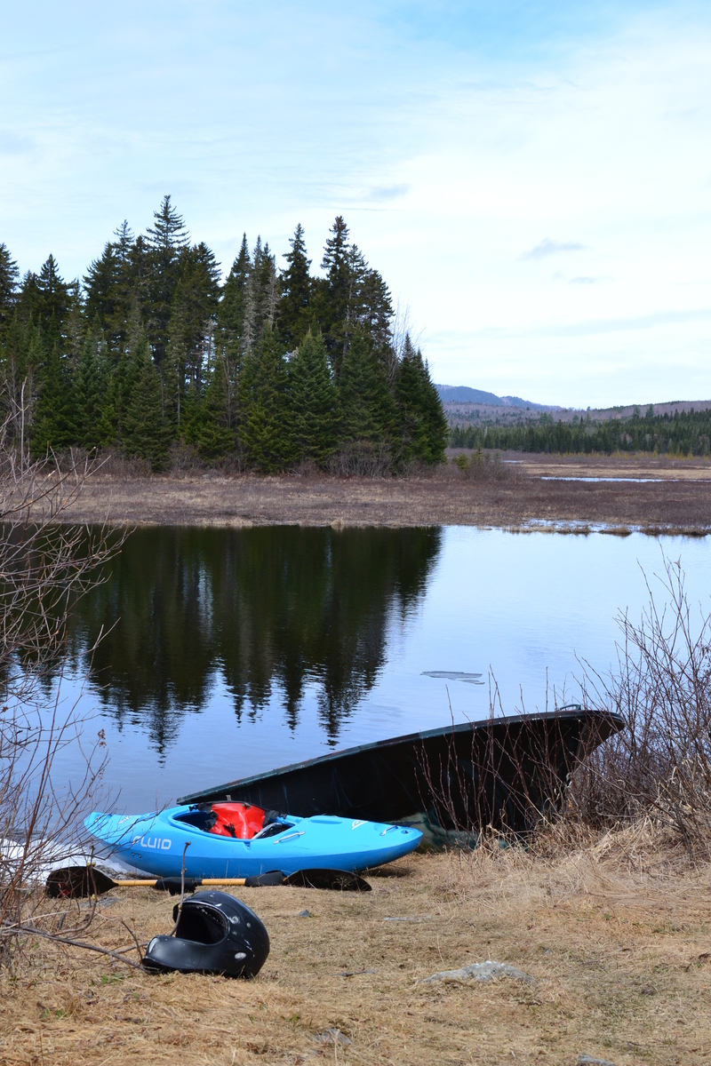
DIRECTIONS: Takeout at the bridge over the Piscataquis in the center of Blanchard, the same spot as the East Piscataquis takeout. As an alternate to the Crossover Road put-in, follow West Rd. westbound out of Shirley. This will turn into CCC road. If you can make it to the junction of CCC road and Clouse Allen Road (where gates & snow may hinder you), you are near the put in. Hike west down hill on CCC road until you find the bridge across the river. This upper put-in would also be a great place to camp. From here, enjoy the flatwater, birds and scenery as you meander through miles of Quebec-esque wilderness. Use this GoogleMap as a reference.
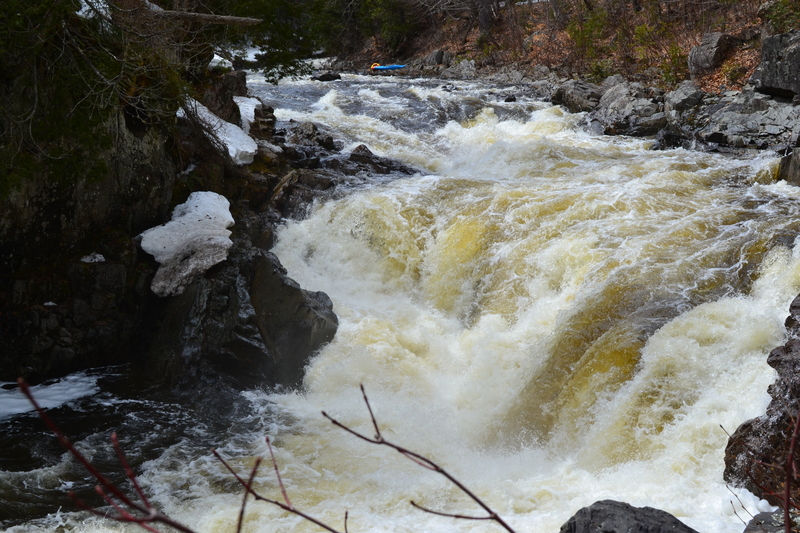
DESCRIPTION: The West Branch of the Piscataquis is a long river run with epic flat sections, long, continuous class 3 sections, a few class four rapids thrown in for fun, and one very solid class 5 (Hell Hole), about 3/4 of the way down. Hell hole is a 10 foot ledge funneling into a very deep and violent hole. Scout or portage on the left. Just below is a IV-V double ledge drop, then more continuous boogie water down to the confluence with the East Pis above Blanchard. Though not as challenging as the East Pis, this is a great wilderness river run with a few fun and challenging rapids.
Put-in & Takeout coordinate info from John Porterfield
River Features
Put In
Access PointDistance: 0 mi
Take Out
Access PointDistance: 9 mi