| Difficulty | I-II(III) |
| Length | 7.4 mi |
| Avg Gradient | 20 fpm |
| Reach Info Last Updated | January 14, 2010 |
River Description
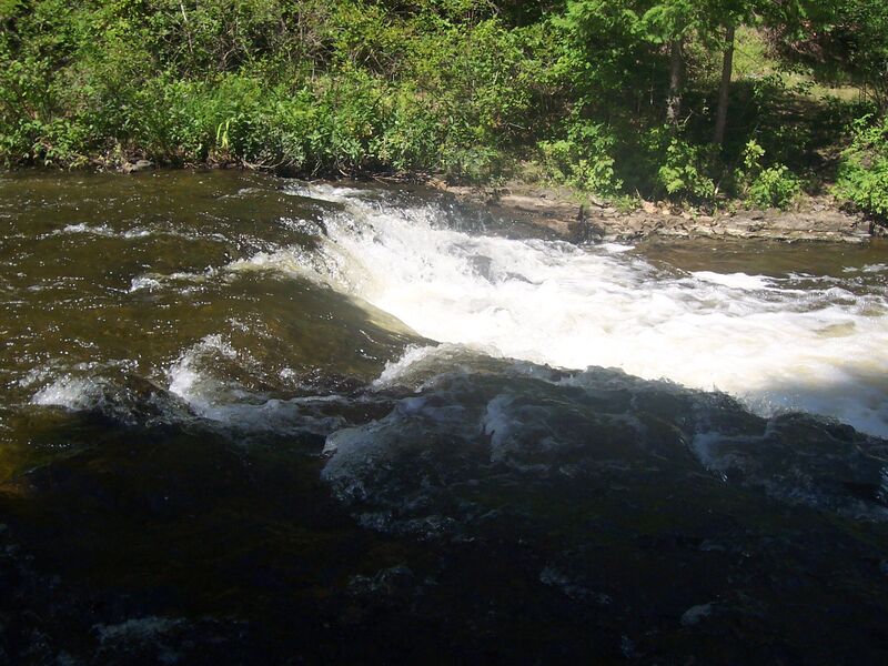
This reach ends with the only (widely recognized) named falls in lower Michigan.
Do the full run, or just 'park-and-huck' (1/3 mile or less) in the park.
River Features
Put In
Access PointDistance: 0 mi
Drainage: 69 sq.mi.
OtherDistance: 0 mi

Just above the falls (based on personal measurement via online planimeter and topomaps) drainage area is about 69 square miles.
Take Out
Access PointDistance: 7 mi