Deerfield
5) Zoar Picnic Area to East Charlemont
July 5, 2023
| Reporter | Willie Dodson |
| Gauge Reading | 3190 cfs at DEERFIELD RIVER AT CHARLEMONT, MA |
| Flow | High Runnable |
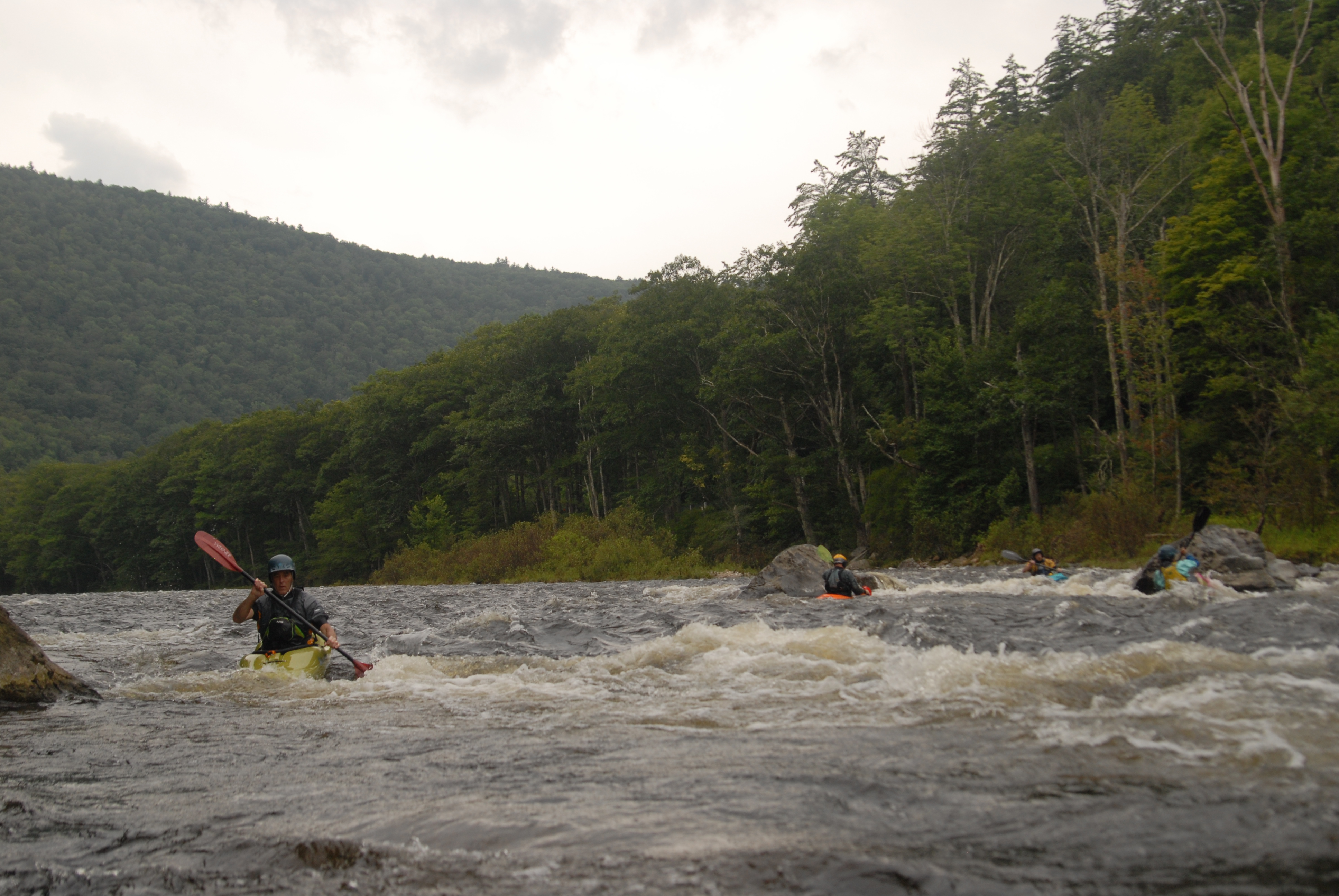
I ran about the first half of this (took out at 8A bridge) at about 3,190 CFS on 7-4-23 in a 16' tandem canoe. At this level, it was a great class II run, with a little bit of added stakes because the river was swift the whole way down. Eddies were few, small and not always easy to catch.
There were well-paced choppy read-and-run rapids throughout the run that would be nothing special to adept kayakers, but were super fun to maneuver in our canoe. I could easily see a novice flipping a canoe and having a good long swim at this level.
There was a hundred plus yard-long rapid shortly after the put-in (you can scout this from the road as you're driving to the picnic area). We chose to enter this one center-right and then cut over and stayed left through the rest of it. There's another rapid a few hundreds after this one that I don't remember anything about it, other than it was the one point in the day when we got a real good splash and had to pull over and bail out the boat.
There's an island right before the Cold River confluence. We took the left channel around the island, which was fast and choppy. The right channel bends a long way around the island and mixes with the incoming Cold River. The combined currents of the Cold River and the right channel then flow headfirst into the left channel. Think of a head-on collision. That's what the currents did here at this level. (Find the confluence of Cold River and the Deerfield on a map and you'll see what I'm talking about.) Right where this head-on collision current occurs, the river cuts left for a couple hundred feet of fast but not choppy water, before another hundred yards or so of read-and-run class I/II rapids passing under a trestle.
One other note: there'd been a lot of rain, so not only had the spillways at the dam been open for a few days, but presumably Cold River and other tributaries were also contributing a lot of flow. I don't know how these circumstances might make the Cold River confluence rapid behave differently than it would at a similar flow level, but where 100% of the flow is coming from a dam release.
The take-out we used was not developed and was kinda a hassle. Cross over the 8A bridge from Charlemont, there's a parking area on your right and a bunch of knotweed and flood plain you have to walk through to get to the river. I don't necessarily recommend it, at least not with a big tandem canoe.