Provo
05. 1000 East Bridge to Jordanelle
June 9, 2024
| Reporter | Matt Pawlak |
| Gauge Reading | 1500 cfs at PROVO RIVER NEAR WOODLAND, UT |
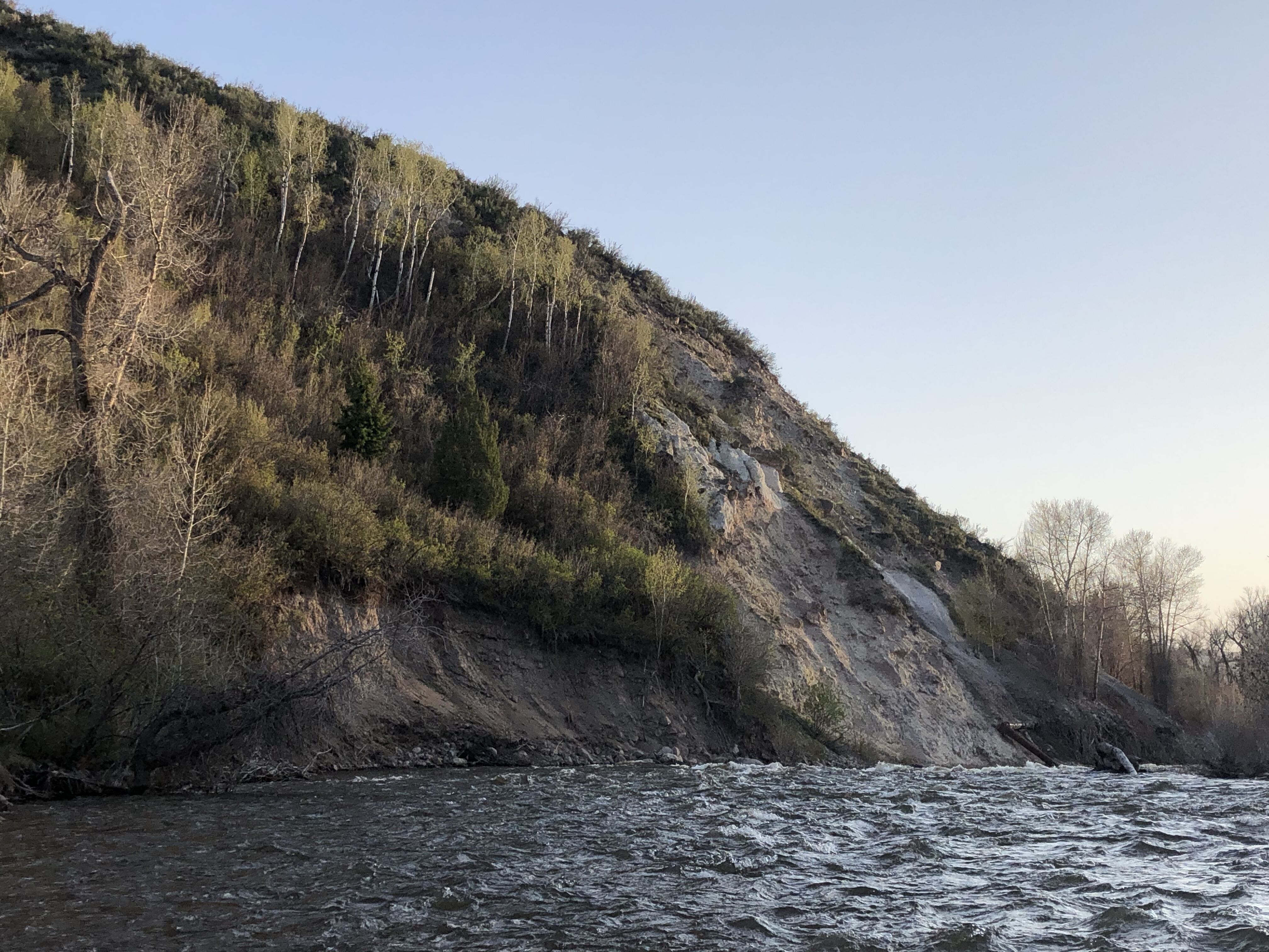
Floated the Provo on 6/8/24 from the 1000 east bridge to Jordanelle. Flows started at 1400 cfs and finished at 1650 cfs. Couple things to note: access is slightly tough, but manageable. We parked just before the 1000 east bridge; past the bridge is all private property. As always, please be mindful and respectful of private property. At these flows, the 1000 east bridge is a mandatory portage (we put in downstream of it, but if floating from upstream, my guess is this is a mandatory portage for flows >500 cfs). Several locals talked to us as we were putting in, all of which were nice (we were the only ones on the river). For the take out, we had to park along highway 32 on the north side. The other take outs we were considering all had no parking signs. It is a tricky stretch to navigate: wood is abundant, the river braids constantly, and there are several blind corners. If you are going to do this stretch (especially at higher flows) its a good idea to do it with someone who has done it before. If you are looking to cut some of the navigating out, you could try to put in at the East Moonlight Dr. bridge. If I were to do this stretch again at high flows, I would look into this option. There are some fun waves past this section along a long bend in the river. There is one notable drop that was clean down the middle. We had some issues scouting this, but there is a possible eddy on river left; we missed this eddy because the drop came up quicker than expected. At these flows, we only saw one fence. It is river wide, hard to see, and needs to be avoided (At lower flows I don’t think the river normally goes towards/through this fence). Note: the fence is on river right, and the main channel is on river left followed by a blind corner with lots of wood. It looks like there is a riverwide strainer here. We were able to get through by staying just left of it. After this, there was still some wood, but the river has a clear channel and all wood was clear to see. There are some fun waves just before the highway 32 bridge. Overall, a suspenseful stretch fun for advanced paddlers.
Coordinates:
Put in:40°35'12.3'N 111°15'43.6'W
Possible alternate put in: 40°36'06.2'N 111°17'29.5'W
Notable drop: 40°36'18.5'N 111°18'20.0'W
Section just before fence where it looks like there is a riverwide strainer: 40°36'07.6'N 111°19'12.1'W
Take out: 40°36'05.6'N 111°20'00.9'W