Green
2. Big Hungry Creek to Fishtop Access(Green Narrows)
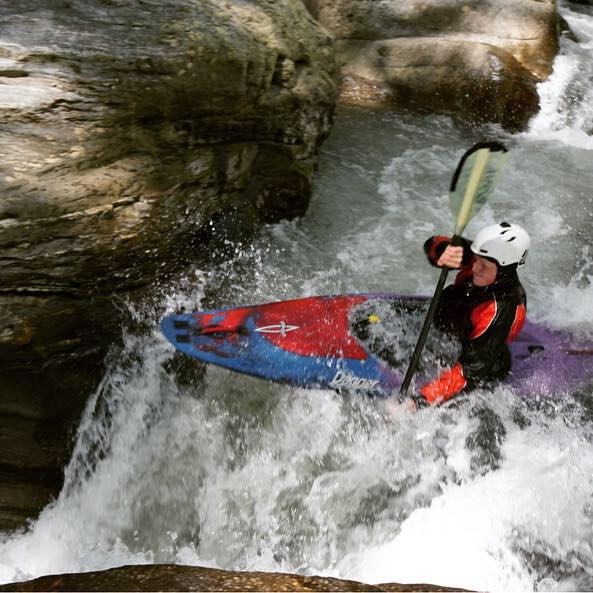
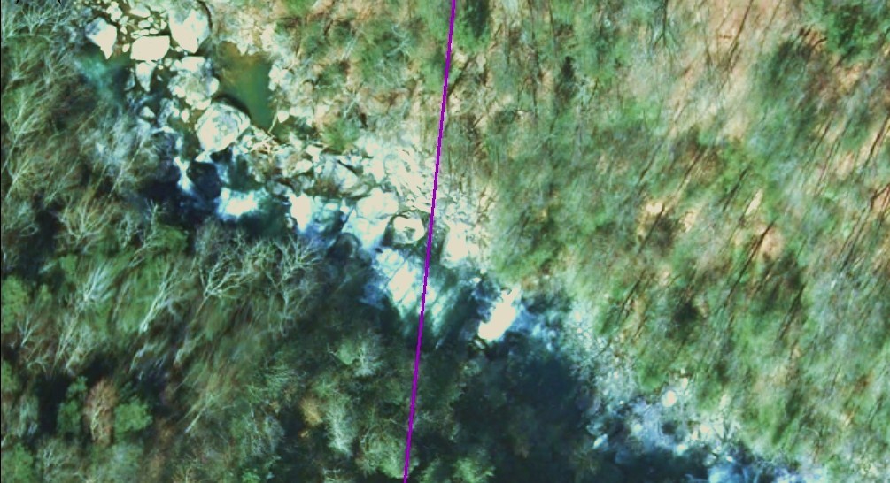
<br>Thanks to help the of David Weisgerber from the Polk County GIS office, here's a pic showing exactly where the boundary is <br>between Henderson County and Polk County -- about 15' downstream of the exit slot of Go Left and Die. You can see how <br>the log at the entrance to Go Left is just out of parallel with the county line. No idea on the date of the photo. On the Google Earth, the line crosses the log exactly.<br><br> <img src="http://www.americanwhitewater.org/photos/archive/medium/42048.jpg?no_cache=39480001"><br><br>
Some guy in a Cessna
County Line
n/a
Go Left and Die