Green
2. Big Hungry Creek to Fishtop Access(Green Narrows)
May 25, 2018
| Reporter | John Pilson |
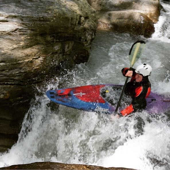
| Gauge Reading | 5 inches at Green-Narrows of the Green |
Above is an undated early photograph of The Notch, from the Historic Saluda Facebook page, and possibly taken by OB Garren in about 1900. It looks like Pencil Sharpener is a little different on the Flying Squirrel side? Maybe not. I put 5' for the level but have no clue as I didn't paddle that day.
Here's another one, dated 1906 and taken from this album, on a fine Summer day for a picnic:
This is likely just coincidental, but it was in June of 1906 that George Ladshaw was first hired to evaluate the hydro power potential of the Green River, and so he created a plan, blueprints, and a map to that end, which he then submitted on December 12th of that year. Those can be found on this page. Call it amusing guesswork and perhaps a reach too far, but what if this photograph above is of the Ladshaw family when George dragged them down there to look at his latest project?!?
Many thanks to Cindy Stephenson Tuttle, the chair of the Historic Saluda Committee, for her assistance with these photographs. Their Facebook page can be found here.