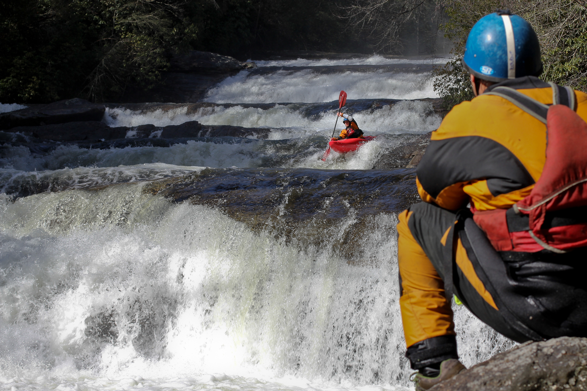
Horsepasture
2. US Route 281 to Lake Jocassee(Bust your Butt falls to the lake.)
July 11, 2005
| Reporter | Brad Roberts |
From Tim on Boatertalk:
The Gauge is on the river left, upstream side of the bridge that crosses the river on Hwy 64 - basically a few hundred yards upstream from Bust Your Butt falls. The landowner (same guy who claims to own the river) has it posted everywhere, but to get a good a read, you need to pull over and quickly run down to the river (trespass a little) and check the gauge. You can kind of see it by leaning over the bridge from the road but its hard to get a good read.
I don't have a lot of experience with the gauge, but here are my thoughts: low would be around zero, but it has been run a few inches lower. I've run it at 4 inches and I thought that it was ideal. It was 9 inches the other day and most of us decided to go elsewhere because of the high water, cold weather and the lack of time. The two guys that ran it reported it to be high, pushy and a little scary. I would consider an optimal range to be 2 inches to 6 inches. It seems to hold fairly well (a day or two, depending on the level) but needs a good rain to run. The Cullasaja is a reasonable proxy to see how much rain fell in the area.