Pigeon
0.7 Iron Duff to Fines Creek (Hepco Run)
May 30, 2012
| Reporter | Les Nicholas |
Put in on Jonathans creek behind the fire station, and ran it to the Pigeon and then followed the Pigeon to near Waterville Lake. Took out at the New Hepco Bridge, Fines Creek Rd. We had 1” of rain in Maggie Valley the day before, and the USGS Gauge on the Pigeon near Hepco was reading 850 CFS. Passed a landowner near where the Jonathans Creek gauge near White Oak used to be, she said at one time they were considering damming Jonathans Creek near the confluence with the Pigeon, (or maybe the Pigeon itself) so the gauge was for a temporary flow study. Not much on Jonathans, one set of drops about 1+ miles below I-40 bridge as mentioned by Dave, otherwise nothing even of new school class II. At the confluence I noticed the water temperature was close to 15° warmer.
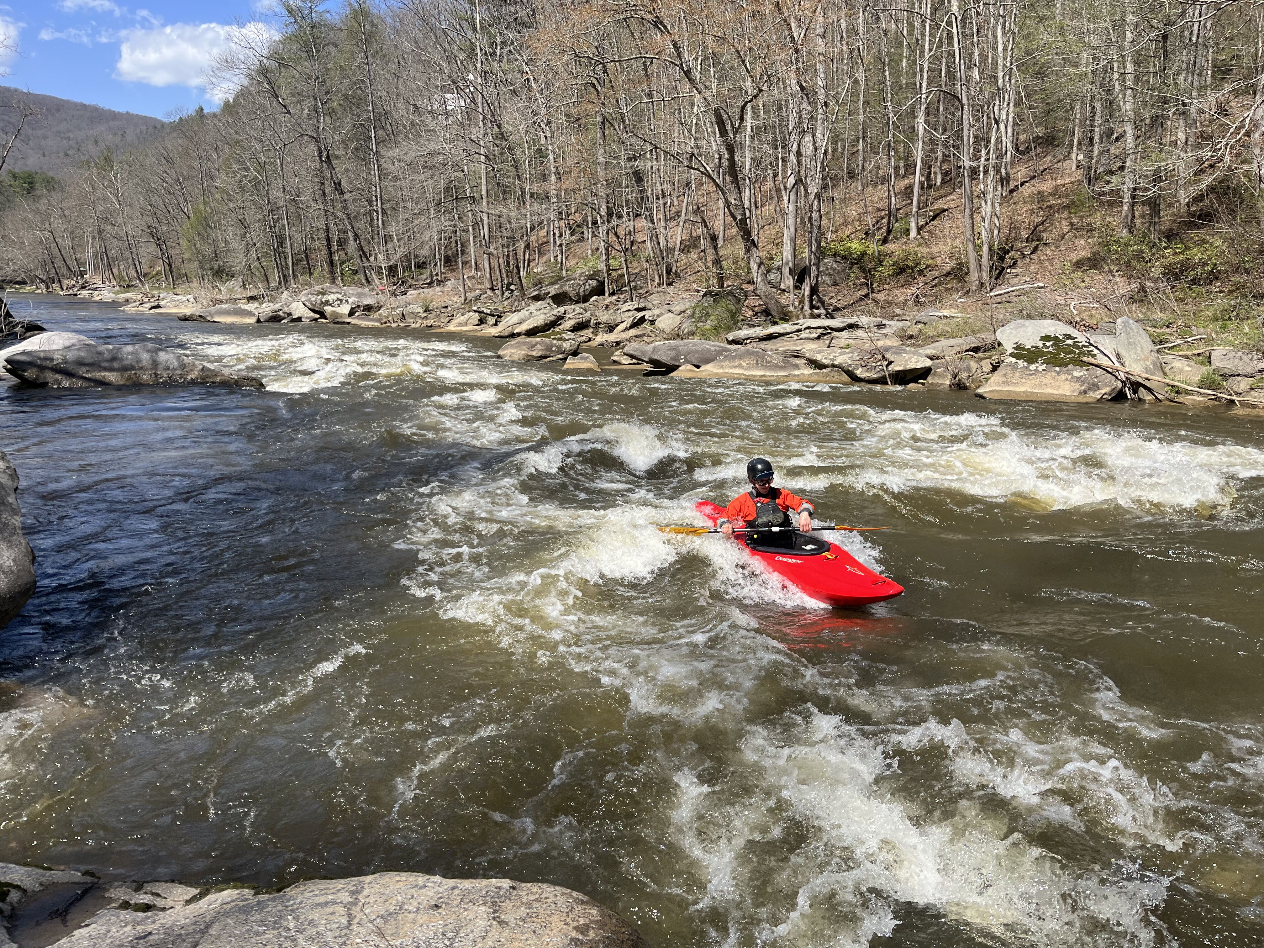
Several noteworthy drops that were not listed on the AWA section for the Pigeon E & W Confluence to New Hepco Bridge. Of course having a good volume of water on the Pigeon, and getting a back ender in a rather juicy hole affected my rating. I would rate one drop a solid III+ (the surprise hole and ender). Other than a bit of a hike at the bridge it is an under valued section. We had run a section of the Pigeon upstream (from confluence of Richland Creek) and became bored, getting out after a few miles before anything fun started, so I was surprised to find some fun rapids. I hope someone will run it from NC 209 on down, looked like a good rapid downstream of that bridge where we got out.