Canadian
02. Taylor Springs to Conchas Reservoir
| Difficulty | III-IV |
| Length | 110 mi |
| Avg Gradient | n/a |
| Gauge | Canadian River Near Taylor Springs, Nm |
| Flow Rate as of 1 hour | 3.07 ftbelow recommended |
| Reach Info Last Updated | June 1, 2022 |
A brief description of this reach and other NM streams can be accessed at http://southwestpaddler.com/indexNM.html
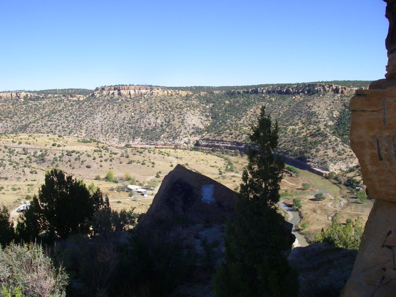
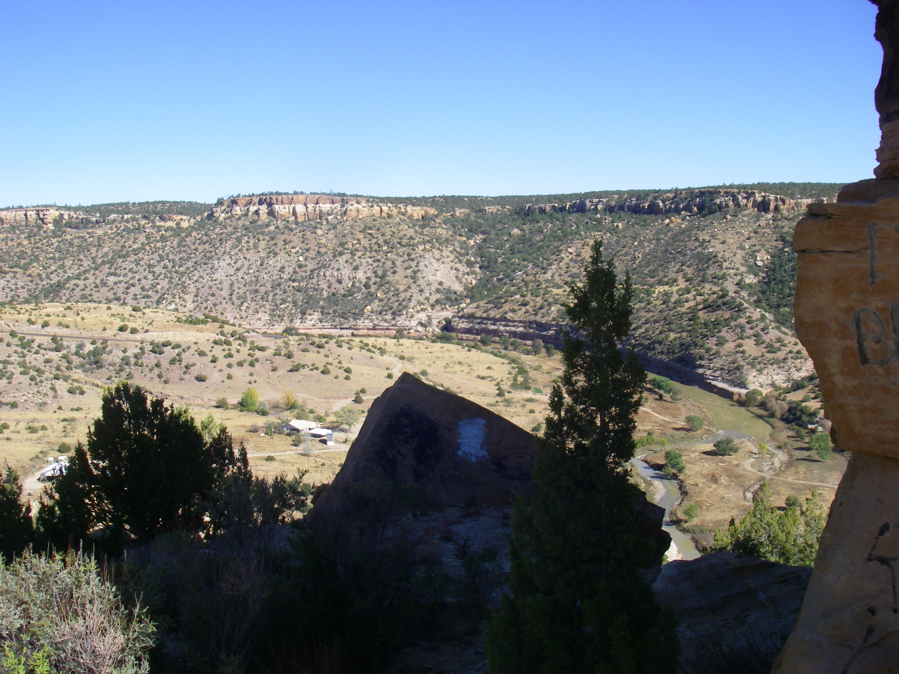
In this region, N. Canadian River cuts a canyon above and through the Canadian Escarpment. Typical semi-arid surroundings.
Accesses are available near Taylor Springs off of US Highway 52, Mills Canyon Rd, NM Rt 102, NM Rt 419 and Conchas Lake.
From Google Earth, distance from Taylor Springs to bridge on Mills Canyon Rd (N 36 02' 40.64' W104 22' 15.71') is approximately 33 miles with an average drop of 17 fpm. Maps indicate existence of a campsite near bridge.
From Google Earth, distance from Mills Canyon Rd to NM Rt 102 bridge (N 35 54' 56.54' W 104 20' 57.63') is approximately 17 miles or 50 miles from Taylor Springs. The average drop per mile between Mills Canyon Road and NM Rt 102 is 12 fpm.
From Google Earth, distance from NM Rt 102 bridge to NM Rt 412 bridge (N 35 39' 20.43' W 104 22' 32.10') is approximately 36 miles. The average drop from NM Rt 102 to NM Rt 412 is approximately 12 fpm. Between the NM Rt 102 bridge and the NM Rt 412 bridge, the N. Canadian River drops through the Canadian Escarpment. Intermediate access is available just north of Sabinoso, which will shorten the trip to 29-30 miles.