Musconetcong
Bloomsbury to Delaware River
July 25, 2020
| Reporter | Dave Pfurr |
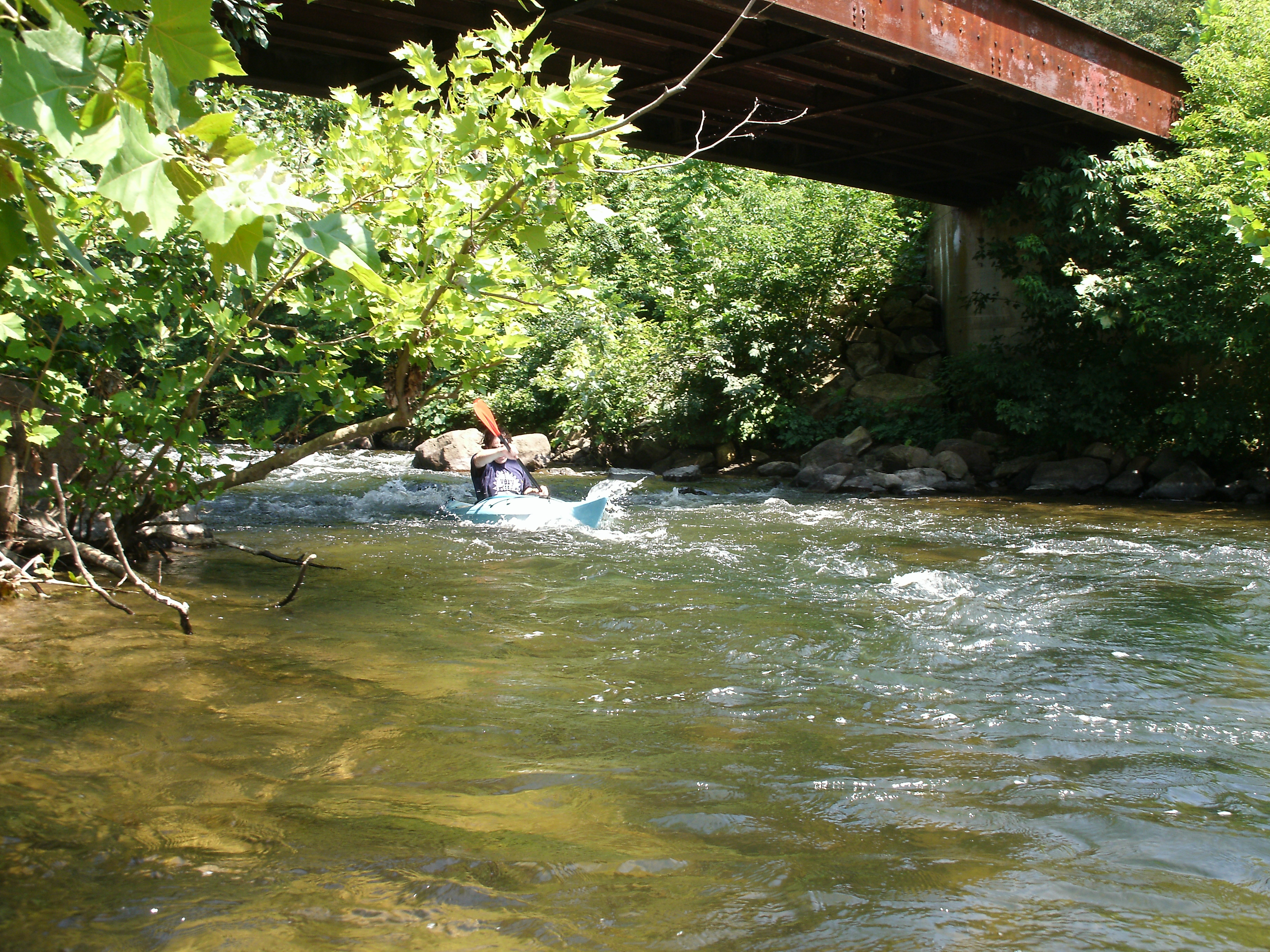
There is so much more of the Musconetcong that is not described on the AW site. I ran the section between Route 31 (Hampton) and Bloomsbury today 7/25/20 and had hoped to contribute a separate description of that section to this site for the general good--but the process for doing that is so undecipherable that I am going to just append that info to this section description. Put-in was via a gravel parking space at the river end of Park Drive, just downstream of Route 31 in Hampton. Taking the Gertler guidebook minimum of 1.8 ft. gauge--we were taking a chance on this at 1.5 ft. gauge (about 110 CFS or less). And yet, we WERE able to run this for the most part at the given level, with virtually no wading. Per the Gertler guidebook, this run is about 8.5 miles long. We took 4 hours to run it at this low level. There are MANY stone fishing weirs along this stretch--and our boats took plenty of rock hits crossing them. The scenery is gorgeous and I just want to encourage people that it CAN be run under Gertler's gauge of 1.8--and it still has plenty of fun Class I riffles. Biggest hassle is the significant portage in Asbury. Take the muddy exit river-right, before the bridge and weir, go through the Muscontcong Watershed Association property, cross Main St. , go down Mill Ave. and take the trail back down to the river. Our group encountered no strainers that couldn't easily be run around. More water would have been good and would have made all those stone fish weirs go SO much easier.