Yamhill, South
Grand Ronde to Sheridan
December 7, 2025
| Reporter | Jacob Cruser |
| Gauge Reading | 1250 cfs at SOUTH YAMHILL RIVER AT MCMINNVILLE, OR |
| Flow | Low Runnable |
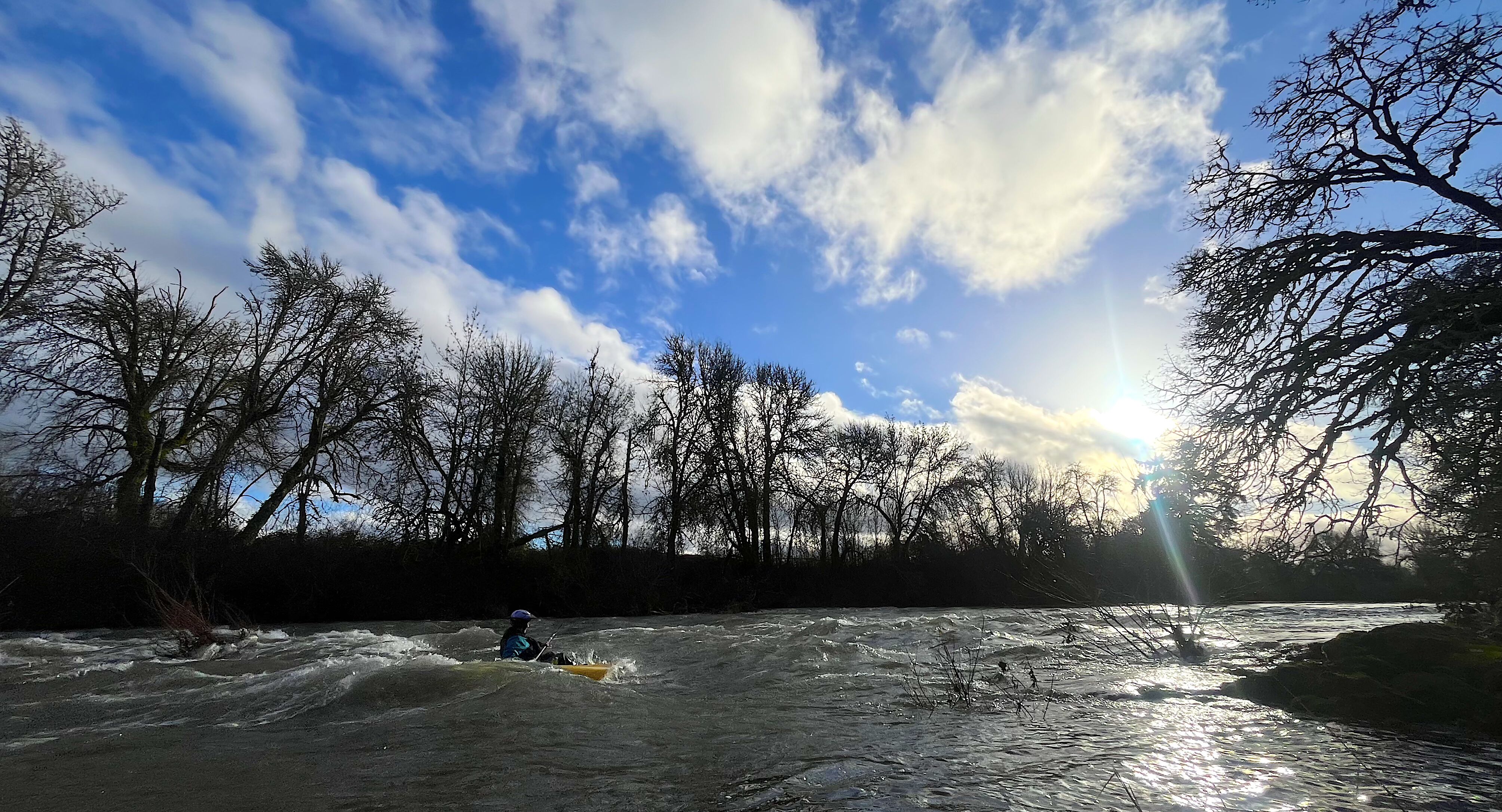
2025-12-07 at about 1250 cfs.
My wife and I paddled from the park and ride at the Hwy 22/18 junction to a roadside access at the fire district boundary sign (45.09259394003943, -123.4413844740381).
There were some easy surf spots in the first bedrock section, a couple allowed for spins. There was one channel on the right blocked by logs but it was easy enough to go center through some brush patches.
Plywood Falls was easy to read and run center-left, and was just a small ramp into a green wave. There were a couple foam piles in the middle of the river. Scouting would have required pushing through poison oak along the left bank.
Below Plywood Falls it was mostly flat until a short wave train above the Mill Creek confluence with a nice green surf wave on the left with eddy access. There was a smaller wave upstream, and a couple other waves with piles on river-right but they did not have eddy access.