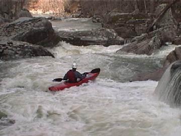
Bee Creek
Taft Center or County Bridge at Glade Creek to Caney Fork
April 5, 2005
| Reporter | Robert Maxwell |
Ran Bee Creek when the Bee Creek gage was 0' and Caney Fork gage was 1.85. The level was slightly above medium. I would paddle this from -6' to +6' on the Bee Creek gage. (but thats just a guess, since this was my first time on the run)
The shuttle took 1 hour 15 minutes one way, with 20 minutes spent just driving out on Scotts Gulf Road. A 4WD isn't necessary but highly recommended. If you have a 2WD you MUST have good clerance AND a bit of skill to drive through 2 or 3 really rutted spots.
If you navigate using Delorme Gazetteer, I have a big warning for you. On Page 40, D-4, right on the White and Cumberland County line is a road named Rogers Creek Road. It looks like a great shuttle road, however, its really an old logging road. It is too muddy for 2wd and too slow to even bother with if you have 4WD. Go another way and avoid this long slow bumpy road and having to pull your 2WD friend out of the mud twice before giving up and backtracking to a real road....or something like that.