Doe
2. Gorge: Bear Cage Road (Blevins Bridge) to Highway 19E bridge at Hampton High School
June 30, 2004
Trip Report
| Reporter | Michael Morrow |
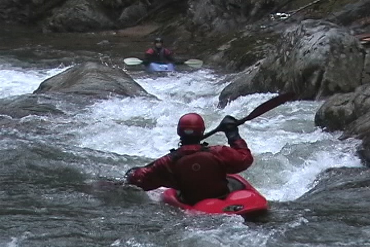
We ran this on Saturday, 6/26/04. The level on the TVA gauge was 1200 cfs that morning. The bridge gauge was +3' on our first run and +2' on the second run. Wood has moved around (as usuall) since my last run. There is a large log tetering on top of the rock at the first significant drop. This is the one that has a slot to the right against the rock wall. This log will move downstream during the next high water event. There is new wood at Toaster slot across the left and middle slot. It was too high to tell if the large log that has been there has moved. The right side was clear. A couple of rapids have changed since my last run. The right side of Flagpole is significantly different. There used to be a narrow slot in the middle. We would boof one of the rocks forming the slot. Both of the rocks forming this slot have spread apart making a much wider shoot down the middle. At the levels we ran it, there was a lot of push to the right against the move you want to make left. A smaller rapid changed right above the Doe River Gorge camp. You go left around a small island instead of right. the right has filled in with rocks and sand.