White's Creek (Rhea County)
2. Possum Trot/Alloway Road to Route 27(Lower Whites Creek)
February 15, 2025
| Reporter | john shepard |
| Flow | Low Runnable |
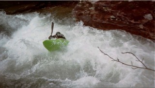
Just before you get to Butcher Block (so within the first half mile of the run) there is a hazardous pin rock in the right line of an otherwise non-descript smaller rapid. Level was around 1.1 feet on the take-out gauge. It probably doesn't take a lot more water than that to put it completely underwater. We got a boat badly pinned there, requiring a 3:1 z-drag to remove. Stay left of center to avoid.
(Note: there is an emergency walkout road to the put-in just below this rock on river left. We didn't have to use it, but you can see where it is.)