Goose Creek
Sycolin Road Bridge to Kephart Bridge Landing (& the Potomac)
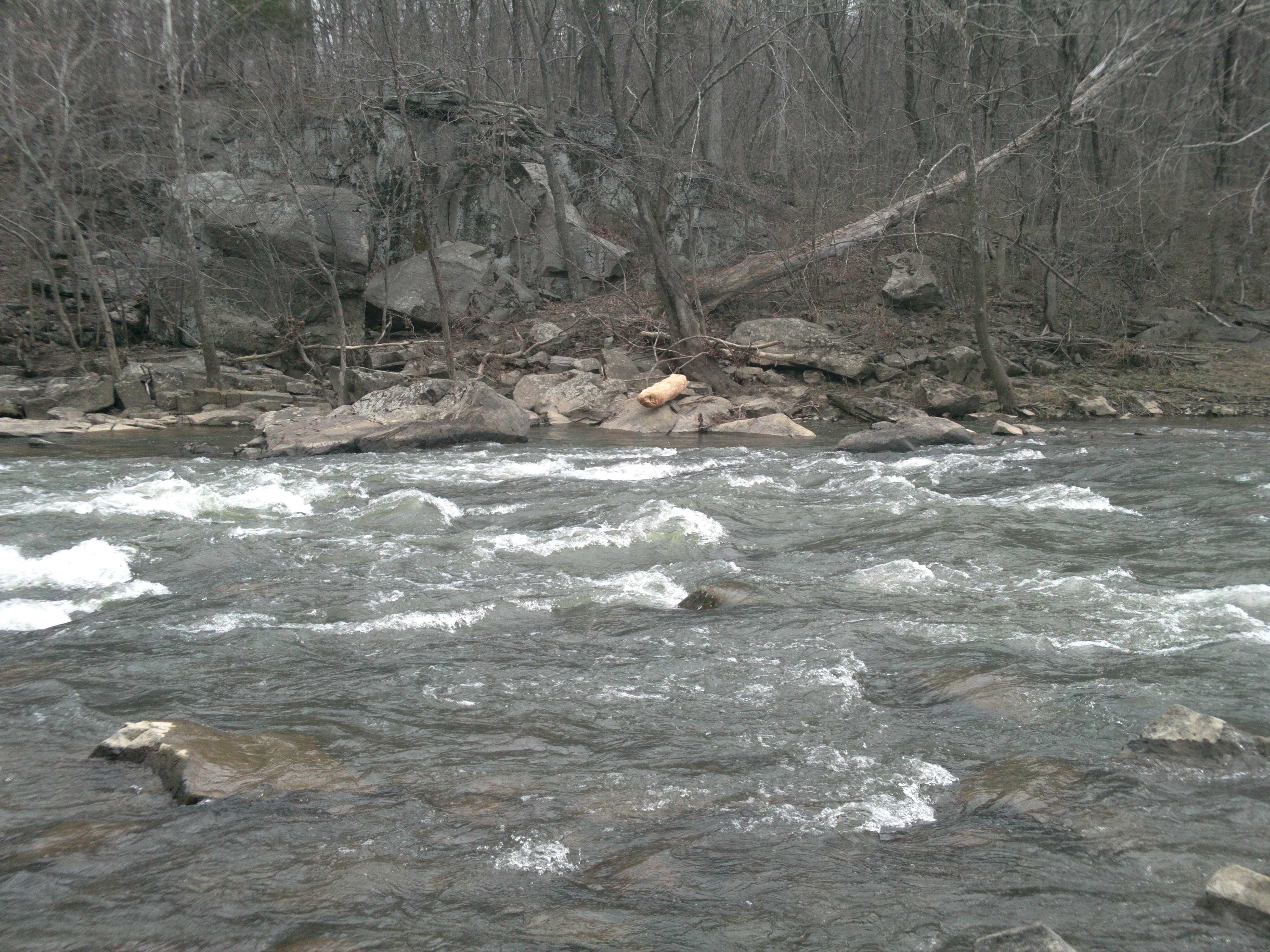
October 17, 2020
| Reporter | Alford Cooley |
The put-in used since 2018 by local paddlers is just off Sycolin Road (SR 643) at the downstream river-left side of the bridge. This is 2.6 miles upstream from the put-in shown on the AW map. Drag 150 yards down to the tiny creek mouth and paddle 1.4 miles down the reservoir to the 20 ft Fairfax Dam. Carry around the right shoulder and let your boats down (bring rope). A full description of lower Goose Creek is found on the Canoe Cruisers Assn webpage: https://s3.amazonaws.com/ClubExpressClubFiles/394800/documents/Goose\_Creek\_Text\_R\_Canter\_796000524.pdf?AWSAccessKeyId=AKIA6MYUE6DNNNCCDT4J&Expires=1602883243&response-content-disposition=inline%3B%20filename%3DGoose\_Creek\_Text\_R\_Canter.pdf&Signature=qybEm%2FOHo1KgcUBt%2BrtveFBQLlk%3D
Please exercise caution in passing the dam. Despite the minatory signs, boaters may descend this navigable waterway (In testimony, a set of 1840s canal locks looks up at you from the bottom of the reservoir.) In another 1.2 miles you arrive at the W&OD RR trail and the Sycolin Creek put-in mentioned in the main article. A pair of excellent intermediate take-outs are at Keep Loudoun Beautiful Park, immediately upstream of VA Rte 7. But Kephart Bridge Landing 1.3 miles farther on is undoubtedly the best. Since the old center pillar of former VA Rte 7 was removed (Sept 2020) there are almost never any more strainers in the lower Goose.