Feather, N. Fork
2) Rock Creek Dam to Rock Creek Powerhouse
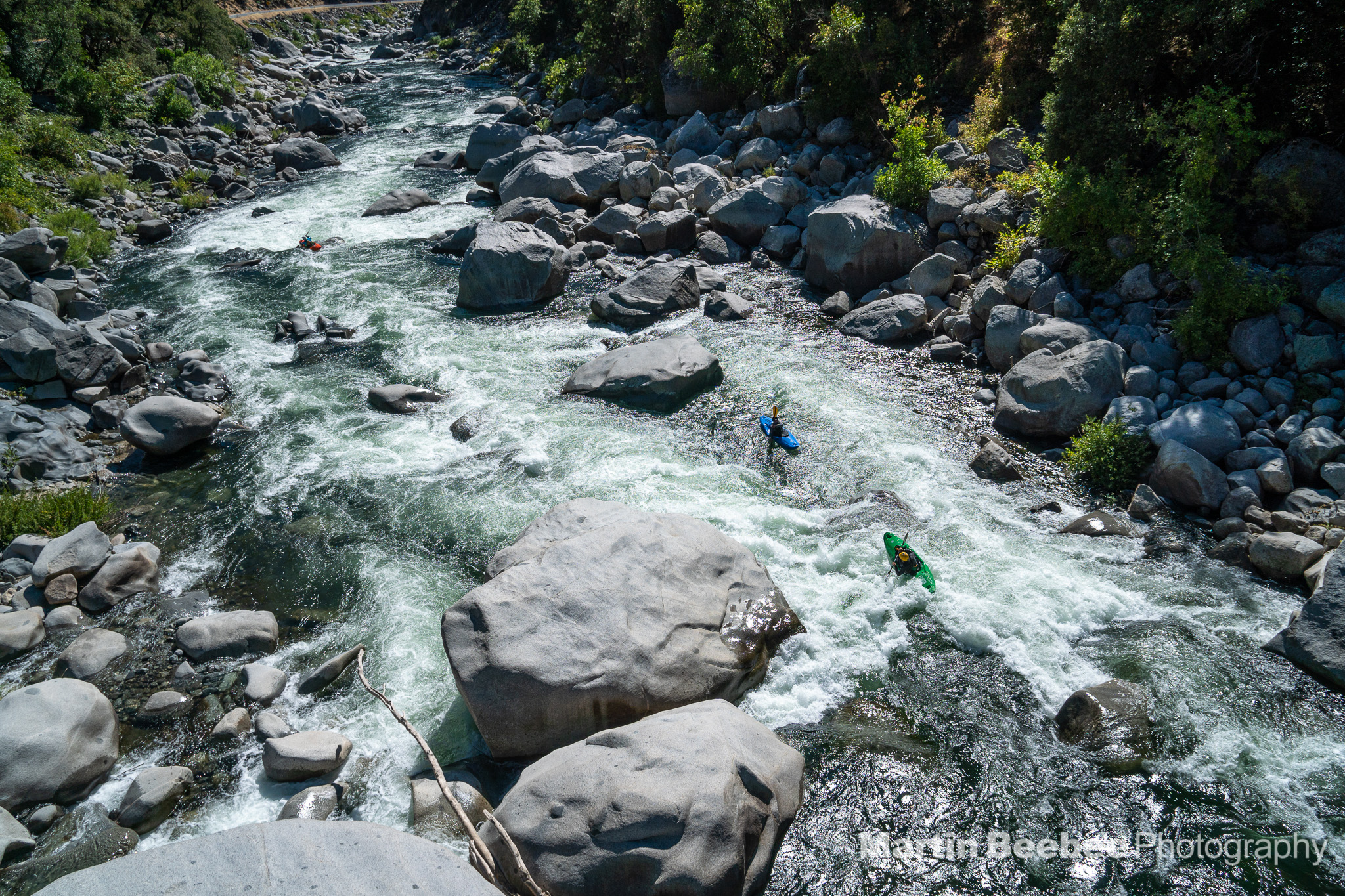
| Difficulty | III-V |
| Length | 8.2 mi |
| Avg Gradient | n/a |
| Gauge | Nf Feather R Bl Rock Creek Div Dam |
| Flow Rate as of 33 days | 441 cfsstale data |
| Next Release | Sat, August 22, 2026 |
| Reach Info Last Updated | July 28, 2026 |
In the decades following construction of the Cresta Hydroelectric Project (FERC P-1962) flows were diverted for hydropower and only 50 cfs flowed through this reach of the North Fork Feather. Spring and winter releases were erratic and nearly impossible to catch. All this changed in June 2001 with the issuance of a new license for this project. The staff and volunteers of American Whitewater, Chico PaddleHeads, and Shasta Paddlers spent more than five years, thousands of dollars, and thousands of hours negotiating the new license. The new license included increased base flows and recreation boating releases. The base flows were designed to bump up incrementally every five years. The third five year flow period began in 2015. The practical outcome for paddlers is that the Rock Creek reach, particularly the Tobin and Lobin sections, are now boatable every day in Wet, Normal, and Dry water years. For more information on specific flows, see the flow info tab on this page.
Although parking is limited there are several alternative access sites as the entire run parallels Highway 70. You can thus start at the top and run the whole section or you can just do a couple laps on the part that best suites your skills and interest.
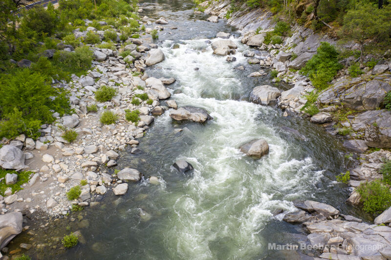
The run can generally be considered three individual sections, which are very distinct in nature. These include Rodger's Flat (aka Rock Creek), Tobin, and Lobin (Lower Tobin).
Rodger's Flat Run (aka Rock Creek), Class III
Rodgers Flat begins below the Rock Creek diversion dam at a nice paved parking area and ends at the Indian Jim Campground or Tobin Vista river access. The run is approximately five-miles in length with an average gradient of 50 feet per mile. Overall the difficulty of this run is class III and the character consists
...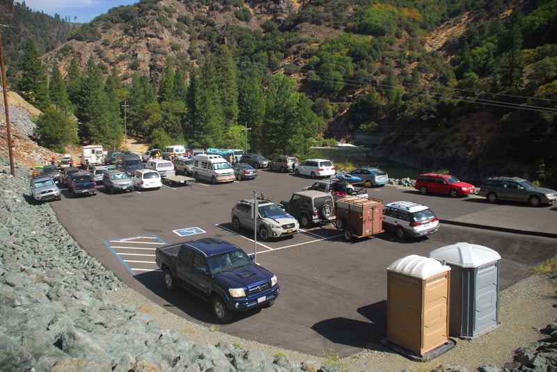
Rodger's Flat Access is located at Highway 70 mile 11.8 on the downstream river right side of Rock Creek Dam. For many years boaters had to park in the small pull-out along the highway and spring across the road dodging traffic to access the river. As recreational mitigation for the impacts of the hydropower project, American Whitewater negotiated a parking facility and sanitation. It is undersized for big release weekends and the trail to the river is inadequate but it is better than what existed before.
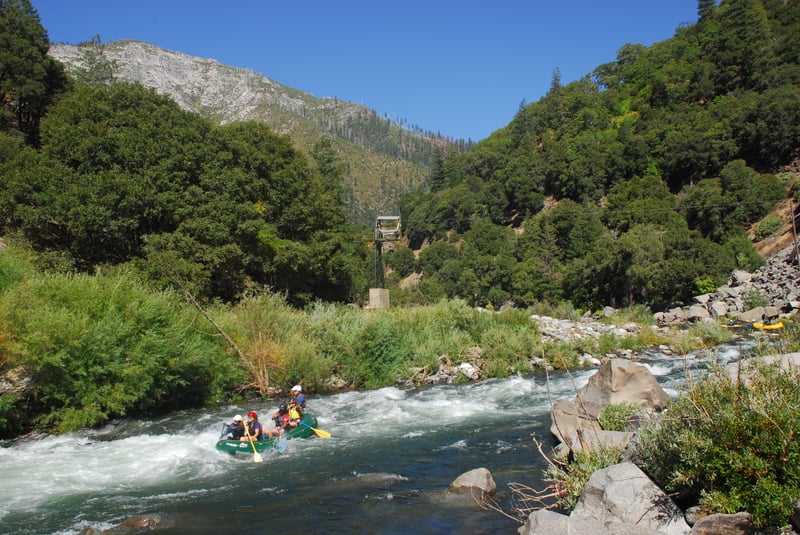
The river takes a hard bend to the right as you pass by the gage station. Look out for the hole in the main flow near the bottom. Punch it or head around it to the left.
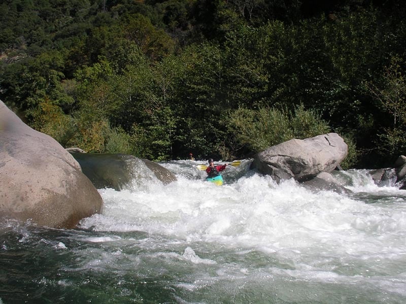
Take the center-left channel on Lisa's Ledge which funnels down through a fun chute. There was a fun boof on river right but CalTrans pushed some boulders into the river that have since blocked this route. You can get a look at this rapid from the pull-out at Highway 70 mile 11.3.
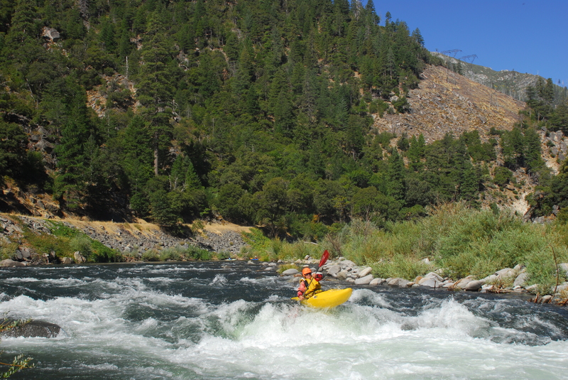
Hole at the bottom of the rapid. Go right or left or boof over the top.
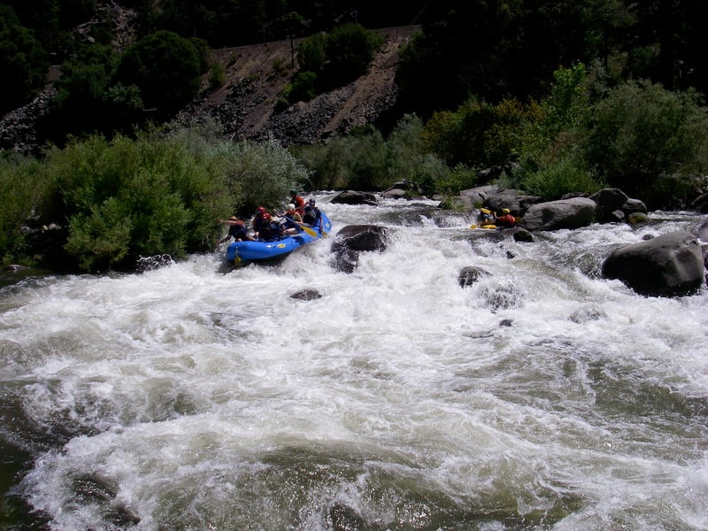
Karl's Kitchen has sevral route options. The traditional line starts over on river left but you want to work your way back to the right side of this main channel. You want to avoid the boulder jumble on river left, while navigating several ledge holes on the right above the exit. The right channel goes but is a bit boney at the top. Scout from the road on the way to the put in from the pull-out at Highway 70 mile 10.7. A separate river right channel has opened up for kayaks in recent years (2021 on) significantly, allowing for kayaks to sneak the boulder jumble and left channel entirely.
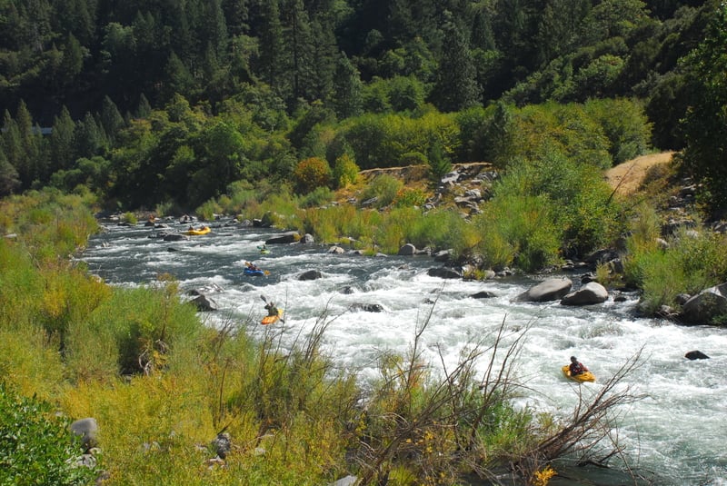
Lots of eddies to catch in this natural slalom course as you pass by the PG&E maintenance facilities at Rodgers Flat.
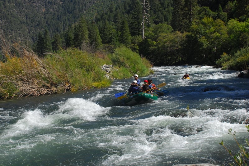
Stay towards the middle of the channel on this straightforward rapid. Be sure to miss the shark rock at the bottom.
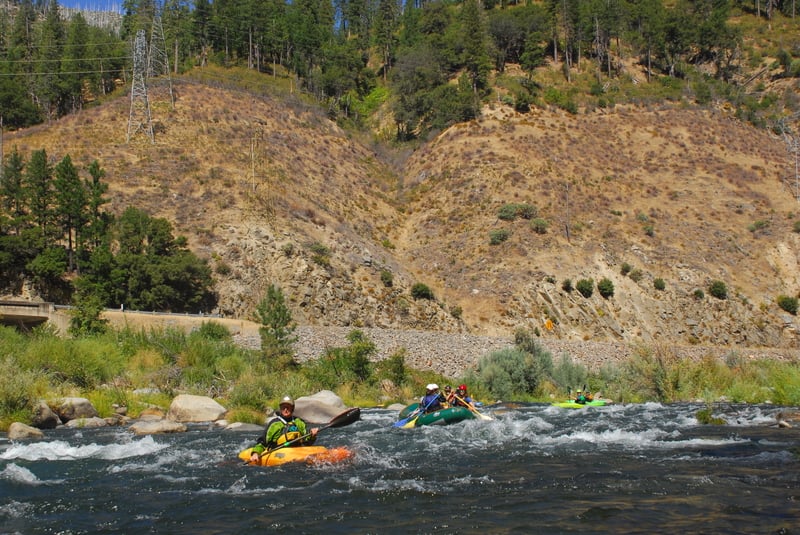
Straightforward rapid formed by the outwash of Chambers Creek
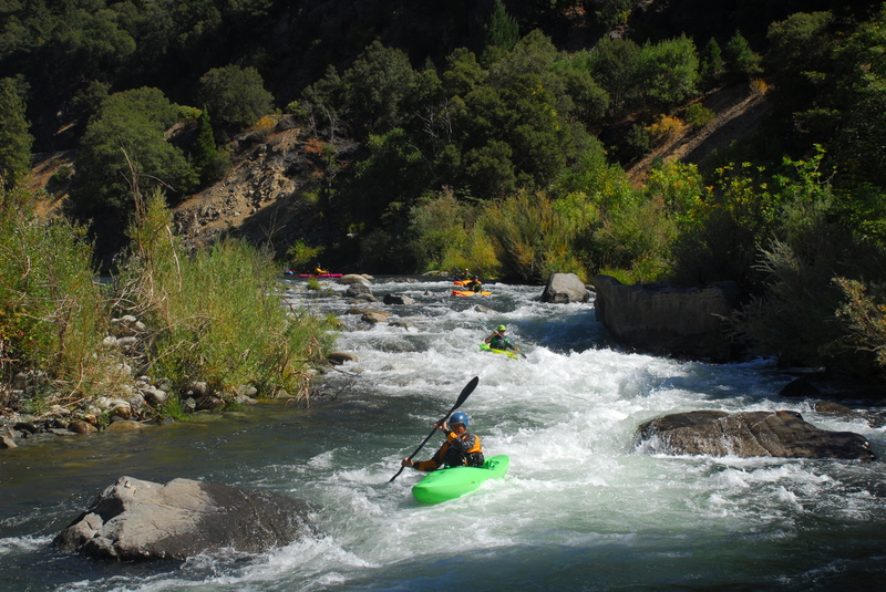
This rapid offers options down the left or right side around an island. The left side is a bit more sporty.
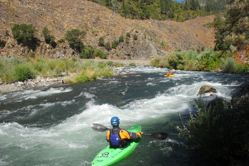
Indian Jim Rapid at the upstream end of the campground is the site of the annual slalom race at Feather Fest.
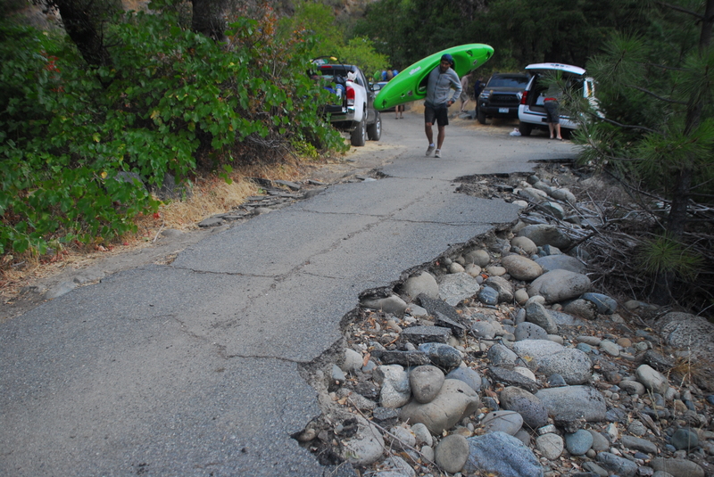
The Indian Jim Campground at Highway 70 mile 8.22 is the most popular place for boaters to camp and is the site of the annual Feather Fest. It serves as a take-out option for Rodgers Flat and a put-in for Tobin. The Indian Jim School is no longer an active school and has been demolished. The Forest Service has neglected the adjoining campground that was damaged in floods but remains highly used by boaters. The campground has no running water or toilet facilities. Fire danger can be extremely high in summer so avoid open fires.
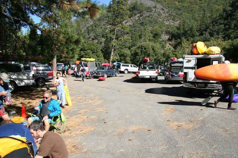
Located at Highway 70 mile 7.5 Tobin Vista is a parking area that is the traditional dividing point between the Rodger's Flat run and the Tobin run serving as the take-out for the class III run and the put-in for the class V run. This is also one of the most popular meeting spots for boaters (keep in mind that no cell coverage in the canyon means you need to coordinate your meeting point before you drive up the canyon).
Relatively straightforward drop typically run just right of center, either following the water right and then back to the middle or boofing the curling wave. Exit through the right goalpost.
Named at 2024 Feather Fest to honor the many contributions Dave Steindorf has made in his long career with American Whitewater, and to celebrate his retirement at the end of the year!
This rapid can be run far right, center, or down the left. The classic line is down the left. This side makes a 90 degree turn and then off a four to six foot drop. The line requires making a downsteam boof. Following the current and penciling in typicaly leads to a beat down and swim.
Entrance drop to the steepest part of the Tobin section of the Rock Creek Run. Named for Kevin Lewis who was an AW volunteer that made the releases on the Feather a reality.

At release flows this river wide ledge is generally run far left or far right; there is a nice boof center right at low flows. If you get sucked to the middle, you are looking for a beat down. This is also the beginning of the steepest part of the run. If you are having trouble to this point, the road is a short hike away. The pull-out at Highway 70 mile 6.9 offers a view of the part of the reach and is a popular access point for spectators who want to scramble down to the river.
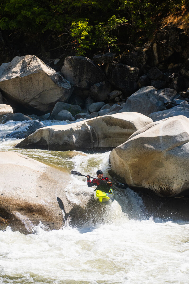
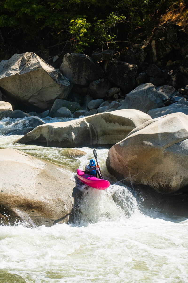
There are two lines here depending on water level. At low water you make your way back to the left after running PMS. This line is a narrow slot that as the name implies is a 'No Brainer'. Just line it up and paddle off. At release flows, above 800cfs, there is a great ramp to the right of the big boulder. The drop above Top left picture is Paddle Management Slot or 'PMS'. This is the low flow line and require careful paddle management.
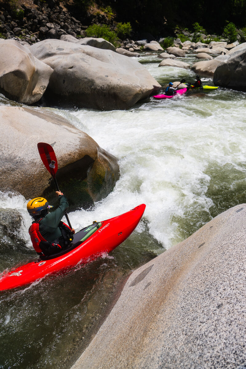
A fun river right channel shoulder boof.
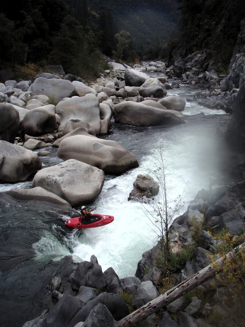
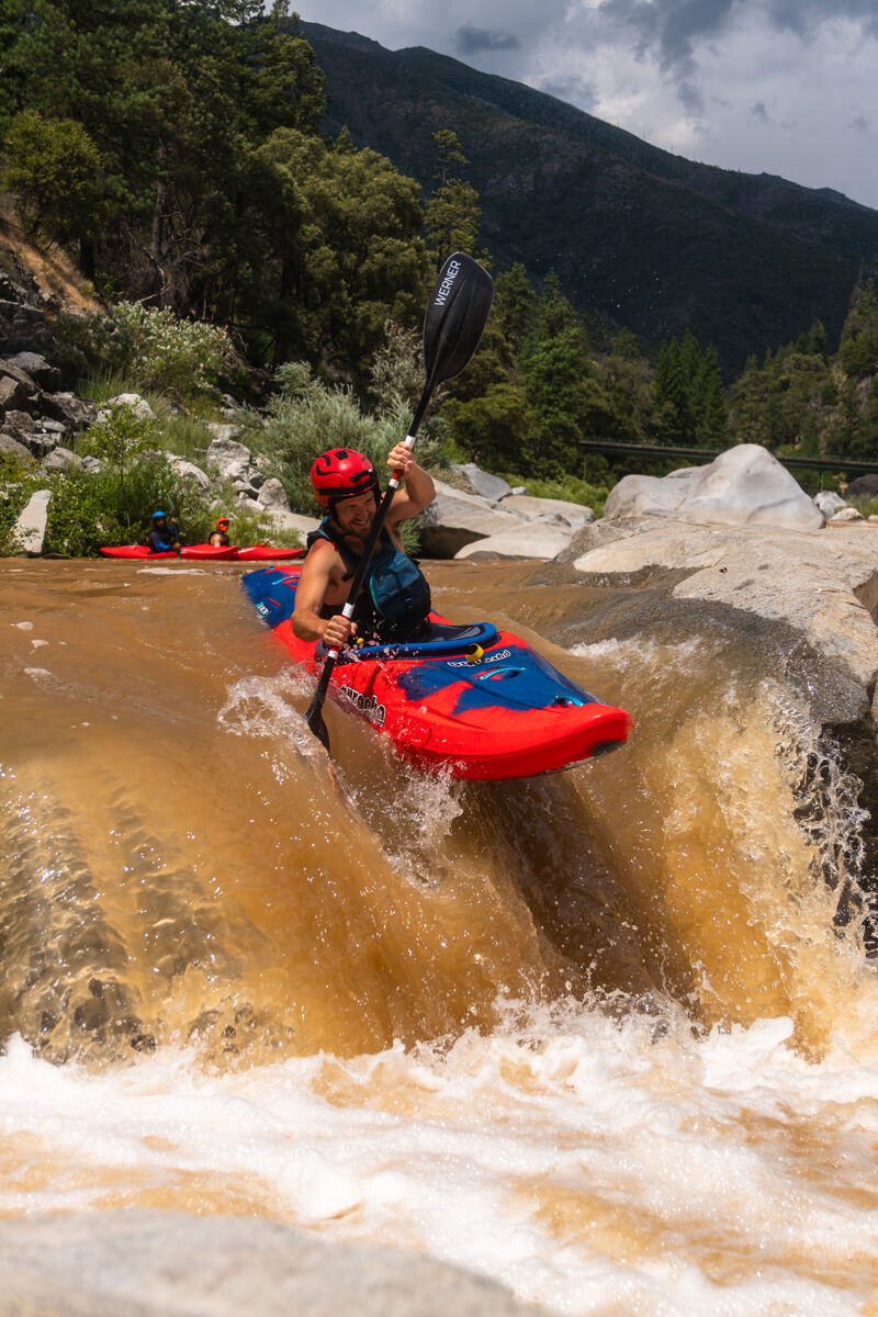
At most flows this can be run left to right, getting a huge sky boof. Above 1000 cfs it is a straight shot down the right. At all flows, beware the Cleaver rock just downstream of the drop.
A junky lead in around an S turn lines you up with a ledge boof into a conveyor belt like current pushing directly towards an undercut on river right. The undercut typically flushes, but also is known for causing swims. There is an eddy directly downstream of the undercut that is useful for redirecting boat direction. Finish back to river center.
At release flows this is generally considered the hardest rapid on the run. A tight entrance slot on the right shore is followed by a pair of minor ledges and culminating in a hole boof. At low flows, it is a portage or a push through the rocks.
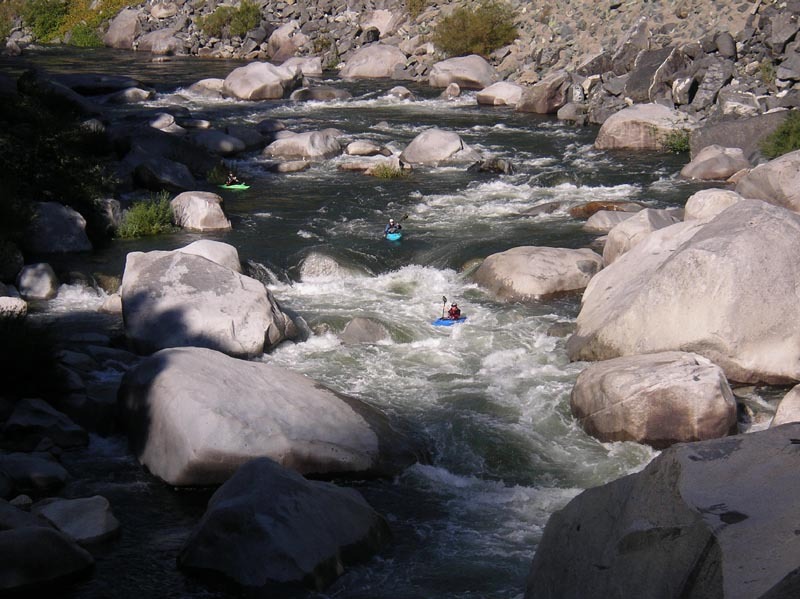
The close-out rapid on the challenging Tobin section of the Rock Creek run. Beware of the pin hazard on the right and the undercut boulders to the left.
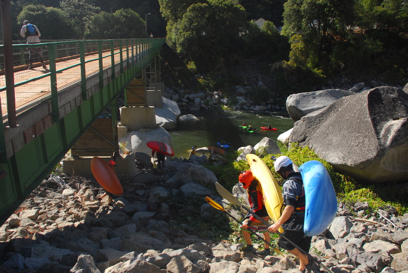
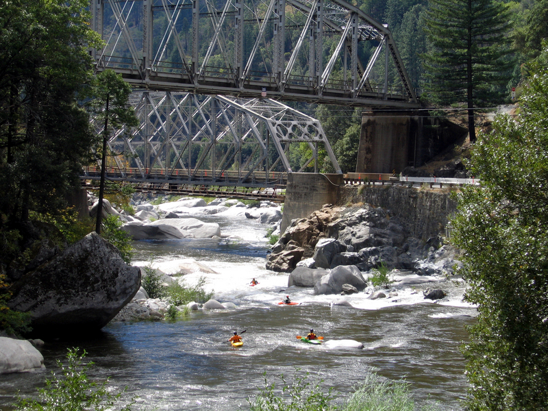
Located at Highway 70 mile 6.3 the Rock Crest Bridge, a private PG&E Bridge, is the traditional dividing point between Tobin and Lobin run. It serves as a take-out for the class V run or a put-in for the class IV+ run. A rough trail down the upstream river left side of the bridge leads down to a beach and a good eddy. If you want to add one more challenging rapid to your Lobin run, you can also walk up along the shoulder about 100 yards and scramble down to an eddy to set up for a run of Piece of Risa.
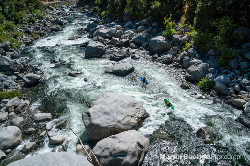
The river goes down a short ramp then bends to the left and after a brief hallway of laterals goes over a small ledge. At release flows typically run left to center down the ramp, center through the hallway, then choosing one of several prows of the ledge to boof. At low flows (400ish) the ledge requires specific placement and a late boof to avoid landing on submerged boulders.
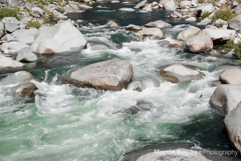
This rapid is named for the fact that a small willow grows in the rock sculpture at the top of this rapid. A small boulder-pile leads to a river-center ramp. Immediately after the flake the river pushes toward a large boulder with a slot sieve just left of it. At release flows you can go right off the ramp (or boof the right rockabove it) into an eddy and then finish by going down the right chute behind the large boulder. Another line takes you straight off the flake and boofing off the left shoulder of the sieve-forming rock, just left of the boulder. This left line closes out around 600cfs.
Located at Highway 70 mile 5.65, the Storrie Bridge is an alternate access point used as a put-in for Lobin for those who want to skip the first couple rapids. Access is on the upstream river left side of the bridge.
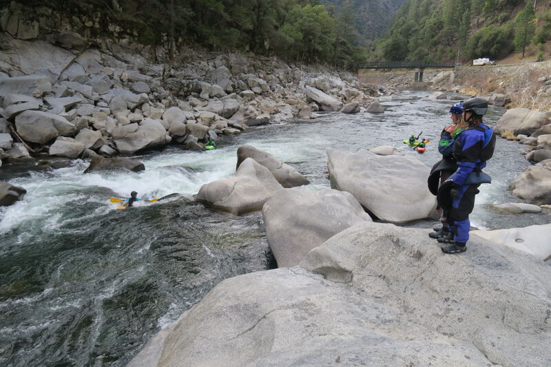
Fun rapid with multiple line options depending on the flow. S turn line on teh left at release flows, boof into the room on teh right at lower flows.
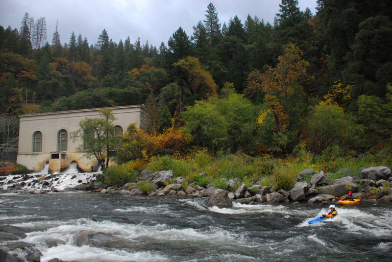
The wave just below the powerhouse is called Hot and Cold, because of the cold water coming from the powerhouse, temperatures from one side of the wave to the other can vary 15 degrees. Don't hang out in front of the powerhouse as the emergency release valve can send a jet of water out across the river without warning.
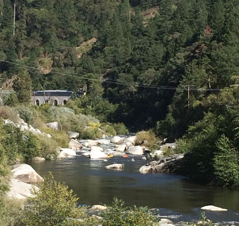
This is a long class III+ rapid below the Bucks Creek Powerhouse. In 2010 a fatality occured at the bottom of this rapid.
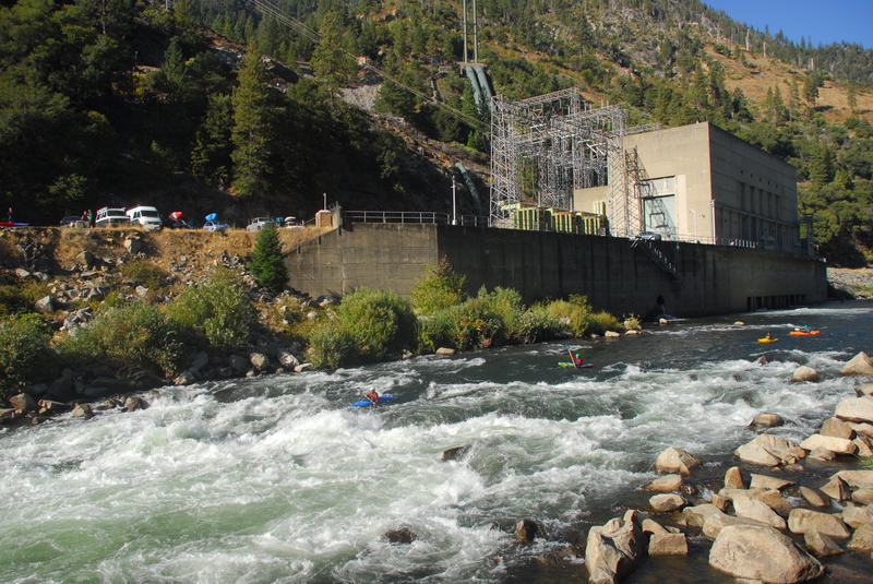
This is the last rapid on the Rock Creek section of the North Fork Feather. It is just below the powerhouse so flows can vary considerably depending on upstream release and the outflow from the powerhouse.
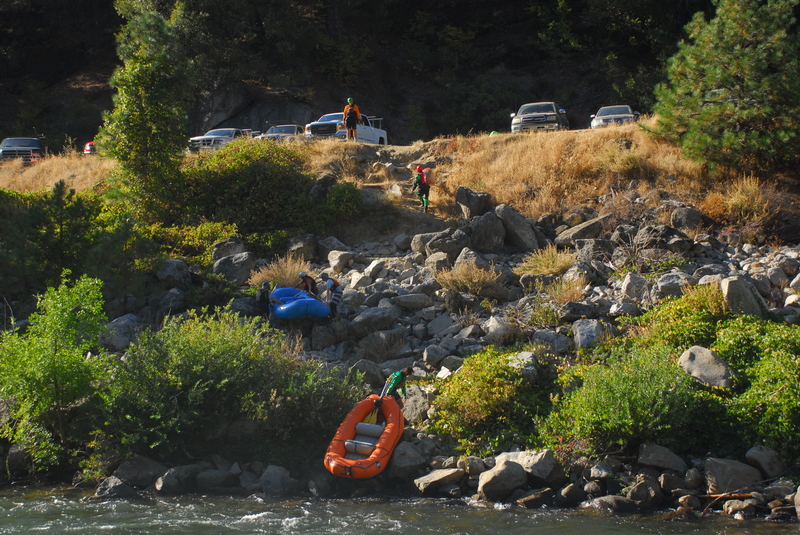
Located at Highway 70 mile 3.9. This access point is on the downstream side of the Rock Creek powerhouse and is the lowermost take-out before the river stalls out in the flatwater of the Cresta Reservoir. A rough trail through the rip rap along the highway heads up from the river.
Jun 29, 2025
Jul 19, 2024
After hearing about Chris Chandler having a bad run at the Cleaver in the Tobin section of the NF Feather River, I decided to go up a check it out. The rapid has changed quite drastically. The pool elevation at the top has dropped about two feet. It looks like a large rock on the right side of the boof rock moved out. Now there is quite a bit of flow going to the right of the boof rock. The big issue is that there is much more of the Cleaver rock showing, this is where Chris got pinned. The upstream point of the Cleaver rock is undercut and jagged and all of the flow pushes into it. Not at all surprising that Chris got stuck there. I strongly recommend portaging this at low flows. We will have to see what it looks like at release flows, and it should definitely be scouted.