North
Below Staunton Dam to Spring Creek (Route 727)
September 14, 2004
| Reporter | Bill Kirby |
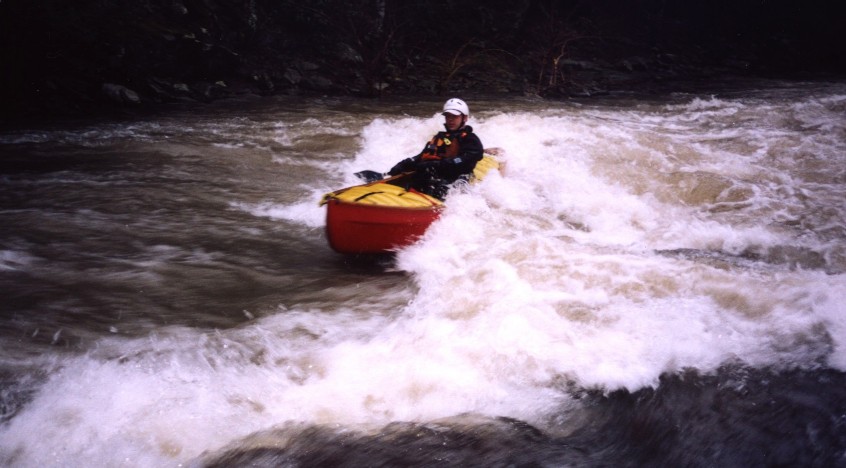
After some discussion with other boaters, I got curious about relating the USGS gage with minimum runnable level. It so happened I have some detailed topo of the streambed near the USGS gage I did as part of my doctoral dissertation. I used these data to make a digital model of the stream at the gage to see what flow would give a minimum depth.
It pretty much confirms what others have said; zero is probably between 80 and 100 cfs on the USGS gage. An image above shows a plot of the HEC-RAS model of the shallowest part of the USGS gage site reach with a flow of 80 cfs. Note that the maximum depth is a little over one foot. On the principle that you can run the whole reach if you can float a boat at the first rapids at the put-in, this suggests that the river below here is runnable. This isn't just paddlers' lore, it's a principle of geomorphology that the channel is created by the hydrology, so as you move downstream the channel widens, but contributions from tribs keep the depth similar. This all assumes rainfall uniformly covering the watershed, so it's not all coming in one trib. Also it assumes full reservoirs; if Staunton reservoir has been drawn down and the river is flowing into an empty hole there may be no outflow at all.
Water the take-out is at least four hours later than at the USGS gage, so if it's rising or falling rapidly, watch out.