North Anna
Butler Ford Bridge (Route 601) to Carmel Church (Route 1)
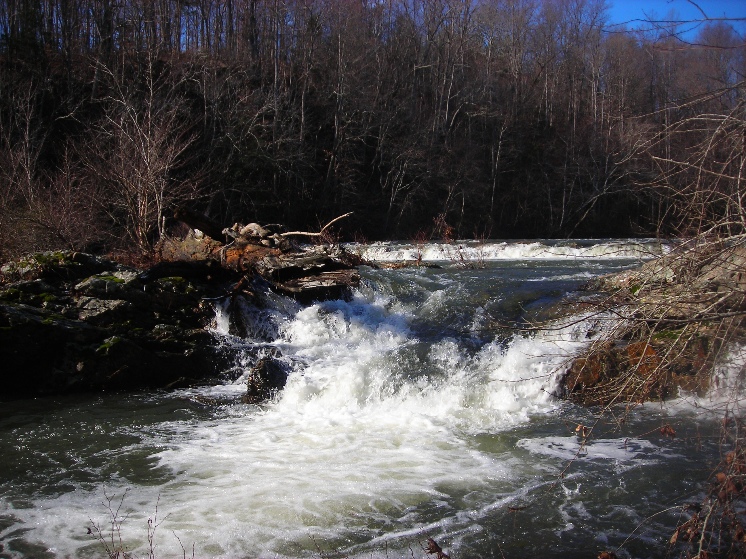
December 26, 2009
| Reporter | Matthew Mens |
We ran this section 12-11-09 @ 1260 on the Partlow gauge and 1890 on the Doswell gauge. The timing here seems crucial because the river gets most of its water from the releases @ Lake Anna. Because of the heavy rains they have been releasing up to 2,000- 3,000 cfs (more than enough to make it a fun run). It took 3.5 hours to run the full 9.5 miles, stopping only once to scout and playing a little on the way. The first few miles had some small features, sm waves and holes to play in, the sections were spread out with @ 1/2 mile flatwater between rapids. It does braid quite a bit and provide some cool different lines and options. About half way through you start to hit some bigger rapids (class II+/III) and the flatwater sections get smaller. The major rapid that is talked about if the Fall Line Rapid. This was a Class III + (IV) at this level and a must scout . We scouted from the left bank, the far right lines looked fun but had some big holes and pourovers. We took the far left line and dropped a nice big rockslide/chute then portaged the island to run the rest to the main flow. Before we put back in to run the rest of the rapid we got a chance to see how big and nasty the far right side looked. After fall line it does flatten out and its a quick paddle to the takeout. Overall this is a great run , great scenery, fun at @ 1000 to 2000 cfs. I'll post some pics from the trip.