North Anna
Butler Ford Bridge (Route 601) to Carmel Church (Route 1)
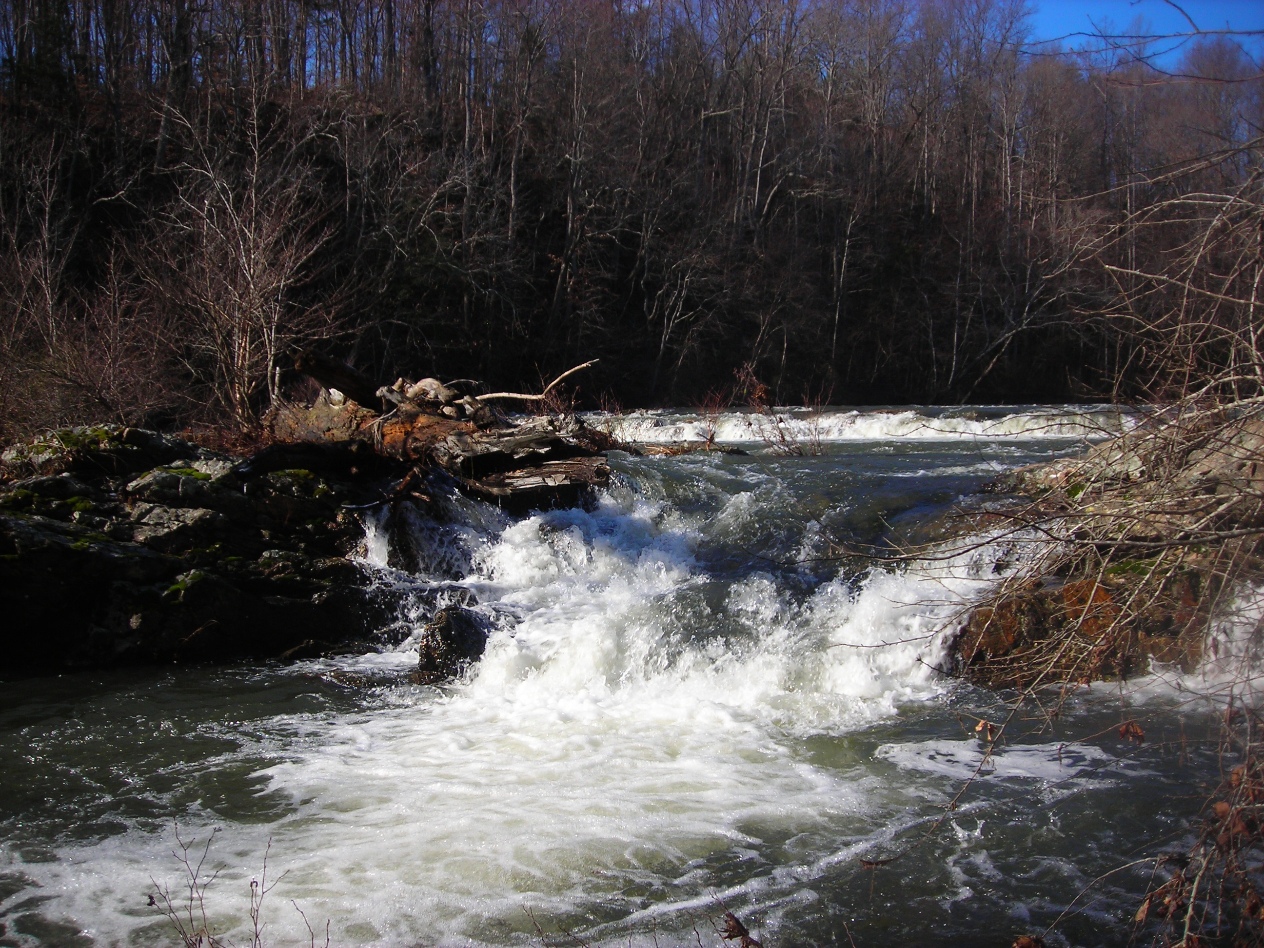
March 3, 2012
| Reporter | William Fegler |
Today we paddled the North Anna at 2,200 cfs on the upstream gage (Parlow Gage), 2,400 cfs on the downstream gage (Heart Gage) and 4 feet on the painted marks on the bridge at the put in. Our group included two K1s and an OC1. We launched at 10:45 from the Butler Ford Bridge (Route 601). The first half of the trip was fairly pedestrian and there were a few waves to surf, but most of the features were washed out. The second half of the trip had a little more action. About a mile or two above the falls line rapid, the whitewater increased and we had some fun picking our way through the braided channels that form at this level. Just upstream of the falls, we pulled over to the right bank to scout. The trail that you use to scout this rapid was almost level with the water and at some points was underwater. The falls looked fairly straight forward and there was no wood in to worry about. There were a couple decent sized holes, but nothing that overly concerned us. We all decided on a line that was right of center and only 10-20 feet off the right bank. Everyone had a clean run, and we enjoyed it enough to carry back up the island and run a different line left of center and close to the left bank of the island. The sneak route on river left that goes around the island was also doable but we didn’t have the energy to carry up again and try to run that line. The remainder of the trip was fast moving flat water and we pulled into the takeout on Route 1 at 2pm. According to my GPS we traveled 10 miles in about 3hrs and 15 minutes including time for scouting the falls and eating lunch on the river.