Piney River (Nelson County)
1.) The "Big Piney" (Alhambra to VA. 827 ['Perkins Mill Rd'] Woodson)
September 27, 2018
| Reporter | Ethan Harris |
For a minimum boatable flow, look for 450, which roughly correlates to a reading of zero on the takeout bridge gauge. It has been running a lot lately and here are a few gauge observations. 650 was 6' and 800 was 8' on the bridge gauge. Flows of 1000 and 1350 have both recently provided a level of 1'4'. Things are still nice and fluid at 8'. Below 6' and it starts to get a bit thin. More water really cleans things up nicely. A bridge reading of 1-1.5 ft is a wonderful level.
Recent high water has cleaned things up nicely on the Piney. Many of the large trees that have been present for a while are no longer an issue. As of 9/24/18, there is a tree across from the Natl Forest sign. If you put in above the Natl Forest sign, you may have to portage. You can scoot over it at higher water or put in below it. There is one other low hanging tree towards the end that you can duck under or scoot around on the left. As always, keep an eye out for wood as things will change often. Good thing is that you can road scout most of the road as your driving shuttle.
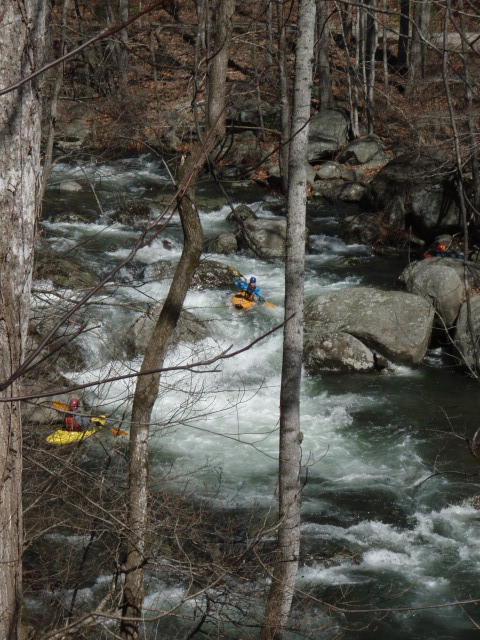
We usually put in on the South Fork, just downstream of the impressive shotgun rapid. The run is continuous class 3-4 boogie water with four drops (class 4) that stand out as harder than the rest of the run. I call them Corner, Island, Golden Triangle, and Bridge. The Piney is one ridge over from the very popular Tye River. The Piney is a solid step up from the classic class 3-3+ Upper Tye run.