Shenandoah, S. Fork
2.) Bixler's Bridge (VA 675) to Bentonville (VA 613)
July 16, 2017
| Reporter | Scott Allison |
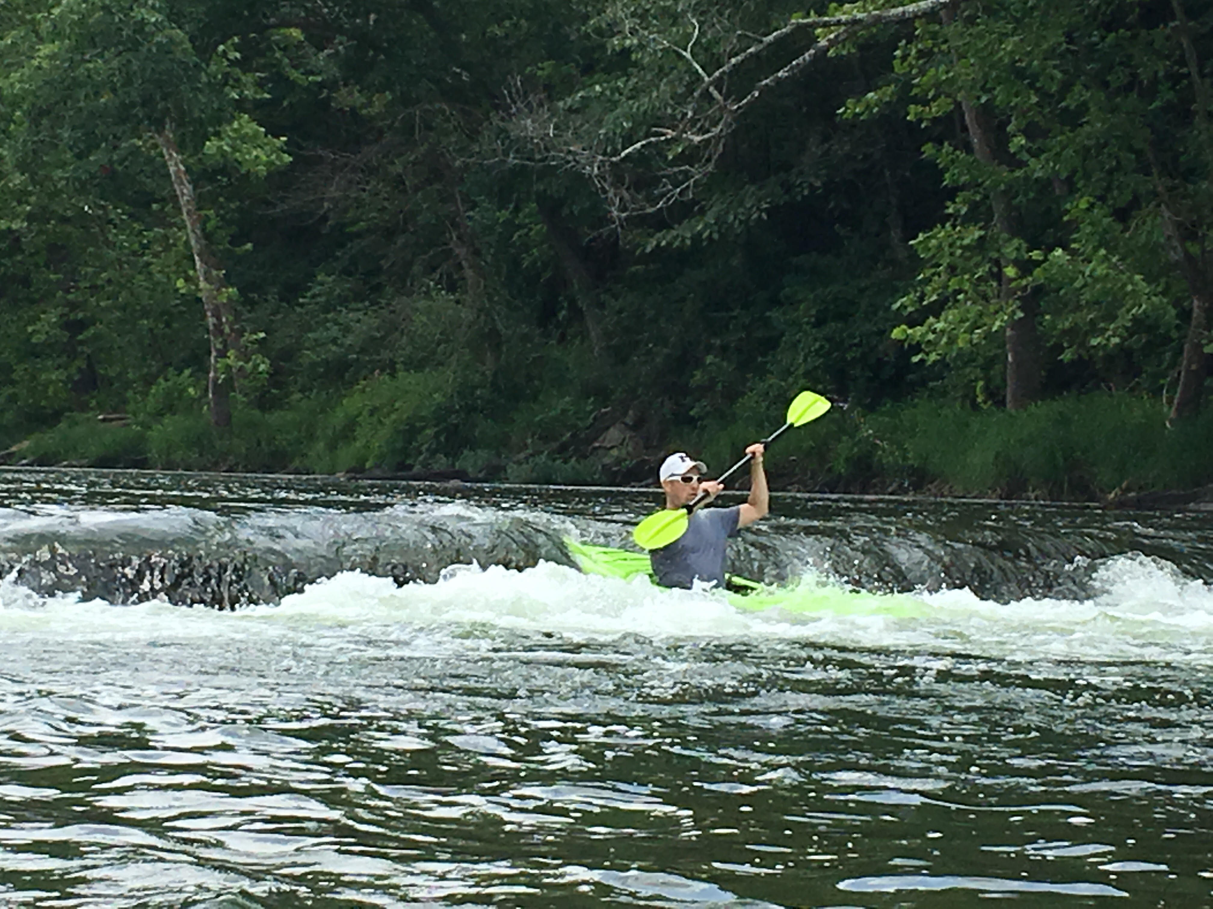
My brother and I ran this river on July 15, 2017 for the first time. If you look at the maps in the pictures it is 44 miles long and they have mile markers on the trees along the way. You can pretty much put in and get out at anyone of those points. We camped at low-water bridge campground at mile 28 ($31/night has showers and free coffee). Drove down to Island Ford Road for the put in which was around mile 16. Did 12 miles. All class one with a few little fun spots. Nothing difficult. It was low-runnable at the time. Scraped the bottom a few times but nothing you couldn't get over and nothing that will damage your kayak. A lot of tubers out there that are shuttled and chartered. If you're looking to be around zero people, this isn't for you, but a lot of fun with people on the water and saying hi as you pass by. The ledge right after mile marker 23 is kind of fun. That's the photos I also uploaded. I screen-capped 'Map my Ride' and you can see the route we took specifically from bottom to top.