Elwha
2. Glines Canyon to Highway 101
April 20, 2026
| Reporter | Nick Cher |
| Gauge Reading | 1060 cfs at ELWHA RIVER AT MCDONALD BR NEAR PORT ANGELES, WA |
| Flow | Medium Runnable |
Elwa- Old Altair Campground to Elwha river road bridge.
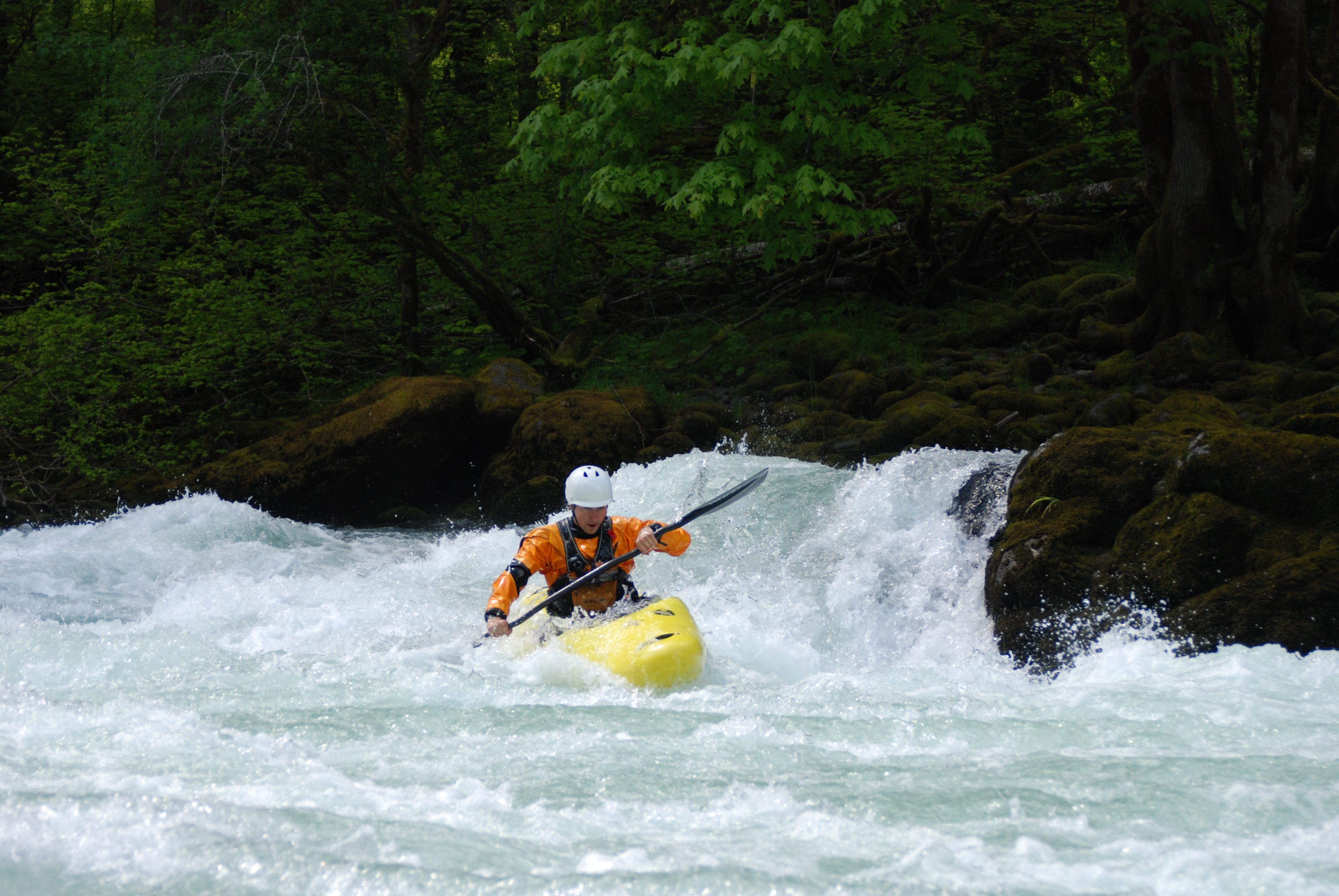
Three packrafters out for the day, Madison Falls trailhead parking lot for the put in at 11am and took out at 5pm (6ish) hours including hiking to the put in, lunch, two longer portages (wood obstacle upper section, dam rapid- lower section) and one short wood portage (man-made log jam area). Elwha river gauge at Mcdonald bridge was 1060 cfs in medium runnable range.
Put in: Parked at Madison Falls trail head parking lot (has a pit toilet) which is the farthest you can travel with your vehicle. Hiked about 4 miles on the old park road and hiking trails to the old Olympic hot springs road bridge that spans the Elwha near the Altair Campground. There is some new signage indicating where to leave the road and take the hiking path. After crossing the bridge, we hiked down below the bridge on river left, to a gravel bar area directly under the bridge, and put in there.
Rafting at this gauge level was fun although the river is fairly braided, and decisions, regarding which channel to take, are frequent. Rapids, were in the 2+ sometimes three range with the major goal of scanning for wood. The first instance of river spanning wood requires a long-ish portage and the take out (48.02639, -123.59067) is indicated by a lone standing trees, see photos.
Passing under the large, high Highway 101 bridge you will see signs warning of upcoming man-made, log jams. River left channels might be a better choice. We chose river right channels, and needed to take out here (48.06988, -123.57902) for a short portage of channel spanning wood. Apparently the log-jams are working.
Between this section and the damn rapid, there is more channelization as well as narrowing of the canyon. We elected to portage around the dam rapid (one hour- break down, hike, re-inflate). The river is absent any signs that warn of the upcoming rapid. If you look to River left as the canyon, walls close in and become vertical, you will see remnants of something man-made that looks like framing, and signage debris and that is where you can take out (48.09449, -123.55859) to portage around (hike up and over the old dam rock buttress).
The remainder of the paddle to the Elwha River Road bridge take out had no major obstacles with the exception of the weir, which can be floated over on River left.
Wildlife today included, many eagles, ducks, geese, kingfishers, and one river otter happily munching on fish catch.
Take out: at the Elwha River Road bridge (also the bridge for the Olympic discovery bike trail) accessed by taking crown Z road down to a small park underneath the bridge (no toilets at river level).