Green River (Toutle Drainage)
Cascade Creek to Beaver Creek
July 8, 2015
| Reporter | matt H |
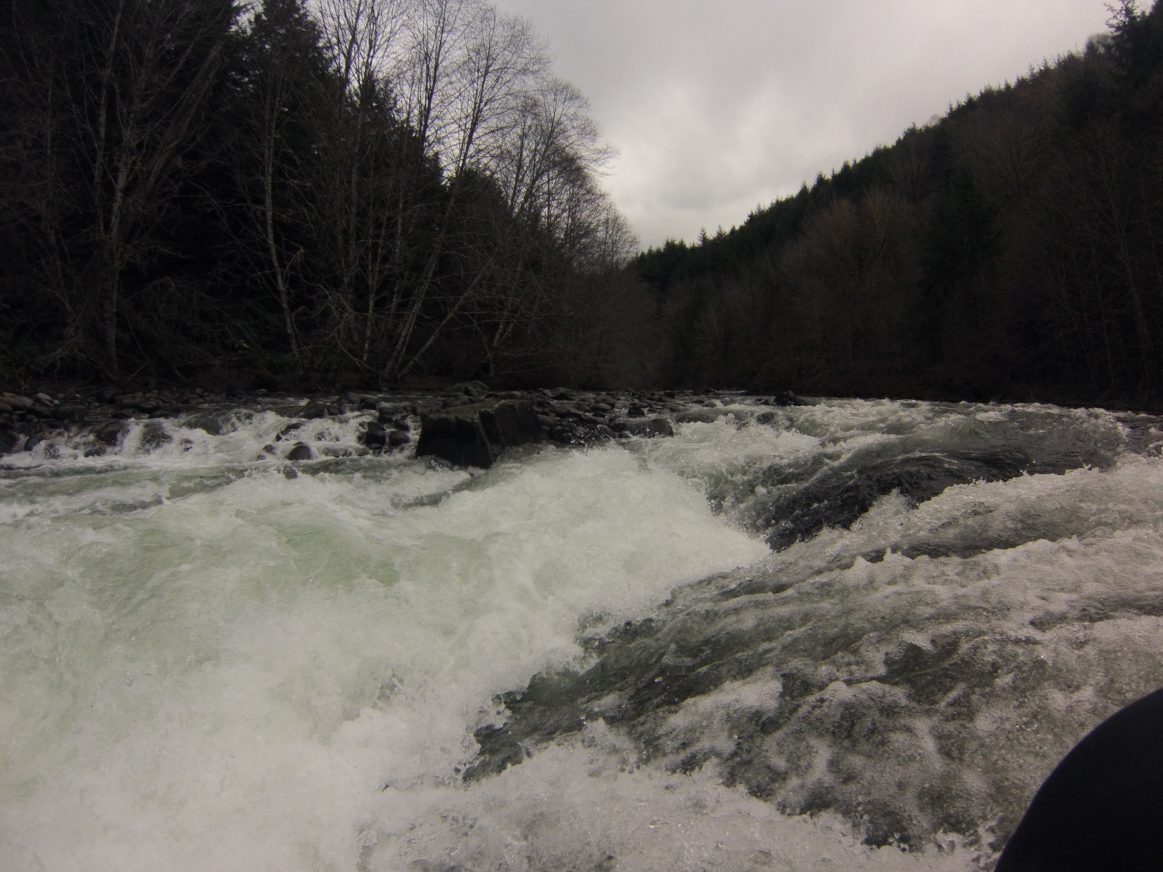
I ran this section several times in 2014 performing redd surveys for Coho as a WDFW employee. It is on weyerhaeuser land and recreational access is no longer available to the general public without payment/permit. Our floats were done in 10' oar catarafts in winter time at higher flows. There is no USGS gauge, so for relative comparison I obtained height/level readings from the measure sticks at the north toutle/green river hatchery facility downstream on the green just above its confluence with the north Toutle. There are two sticks, one at the hatchery intake and one at the fish weir maintained by WDFW. This run is possible in a kayak at lower flows than appropriate for cataraft where our minimum was about 1 foot 2 inches.
I am happy to submit a detailed trip report with photos, videos, and coordinates of the major drops and lines with descriptions. However I don't think people are going to have access here until Weyco changes their gates-closed policy. You might be able to access it from the 2500 road off hwy 504 just before hoffstadt creek park. Don't trespass or go through any open gates that might be closed when you try to exit. Be safe/aware around logging traffic on gravel roads.