Peshastin Creek
Highway 97 culvert to Wenatchee River
| Difficulty | III-IV |
| Length | 9.2 mi |
| Avg Gradient | 150 fpm |
| Gauge | Peshastin Cr. @ Green Bridge Rd. |
| Flow Rate as of 1 hour | 14 cfsbelow recommended |
| Reach Info Last Updated | February 7, 2026 |
The Okanogan and Wenatchee National Forests encompass more than four million acres and are jointly managed with headquarters in Wenatchee, Washington. The rivers flowing through these forests are essential to the whitewater paddling community—both as close-to-home runs for Washington residents and as classic objectives for paddlers traveling from across [...]Read More
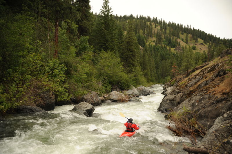
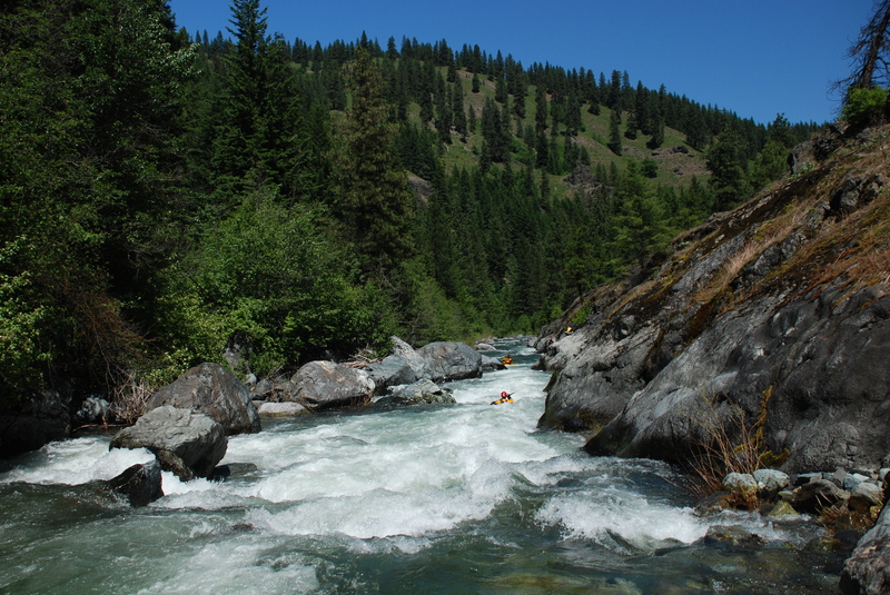
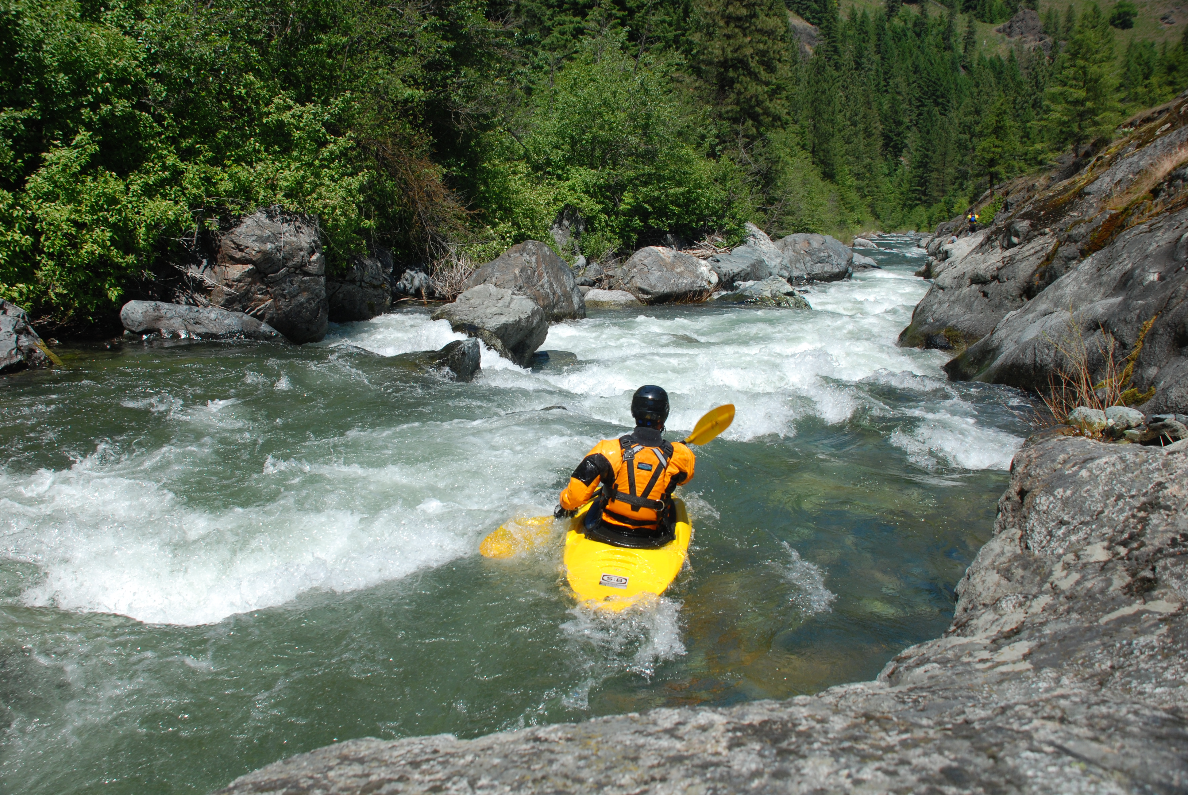
This is a great creek run when the snow melt kicks into gear and can be enjoyed as long as the snowmelt lasts. The run starts out with nearly continuous class III rapids punctuated by a more challenging class IV rapid known as Fresh Squeezed. You can scout Fresh Squeezed from the road. It's about 0.8 north of the village of Ingall's Creek where a grassy knoll separates the creek from the highway. Those not wanting to tackle Fresh Squeezed can find a trail here to put-in just below. Below this point the river tapers off to continuous class II with a couple more fun class III rapids before settling down to more consistent class II once you pass under the Highway 97 bridge (an alternate access point). There is a runnable diversion dam a couple of miles downstream of this point.
There are often logs in the creek that require a portage and they tend to change quickly.
Access Logistics: The standard put-in is reached by driving up Highway 97 approximately 7.5 miles from the junction with Highway 2 near the town of Peshastin. Those looking for a more challenging start commonly begin with a run on Ingalls Creek, which joins Peshastin Creek.
A popular intermediate take-out is at the Highway 97 Bridge, about midway down the run, where the rapids begin to taper off.
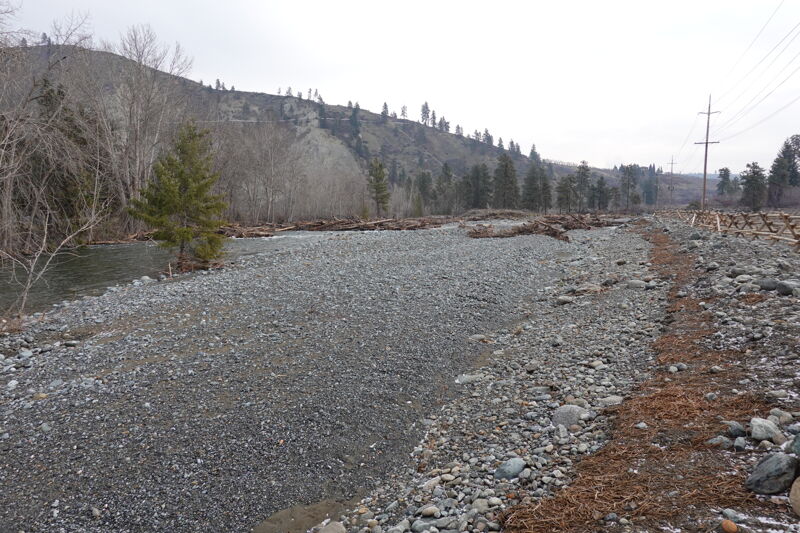
For those boating the full run to the Wenatchee River, take-out access near the confluence is reached by turning off Highway 2 just south of the Highway 2 bridge over Peshastin Creek (at Highway 2 mile 105.2). Follow Saunders Road 0.3 miles back toward the creek, then turn right before crossing Peshastin Creek onto the access road. This road leads 0.4 miles to an unimproved parking area near the dam at a site acquired by WDFW at the confluence. The final 0.3 miles of Peshastin Creek were significantly altered by the Lower Peshastin Restoration Project, implemented in 2025. River-wide log structures were placed in both the existing channel and a new floodplain channel, mak
...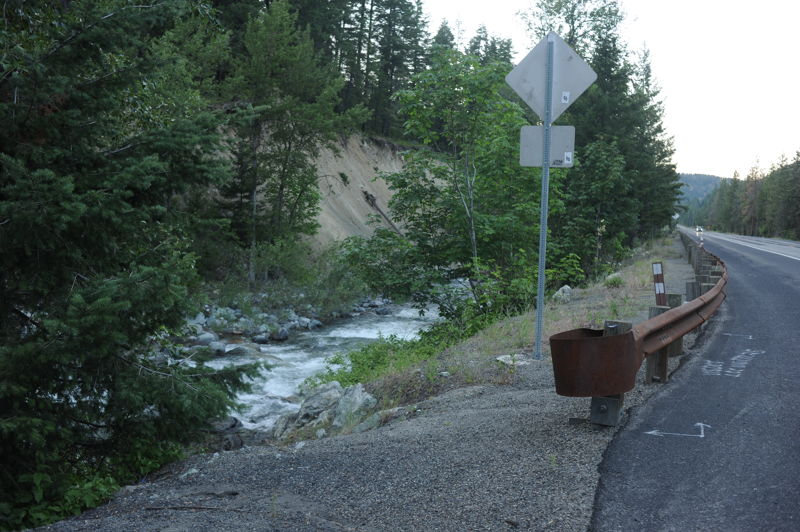
This access is at Highway 97 mile 177.2 at the downstream end of a large pull-out where you will also see a sign for the Wenatchee National Forest. It is at the confluence where Ingalls Creek joins Peshastin Creek. You can also put-in on Ingalls Creek for a more challenging class IV start to the run.
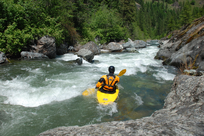
The biggest drop on the run where the river is squeezed into a narrow bedrock slot with a series of short drops tightly spaced together.
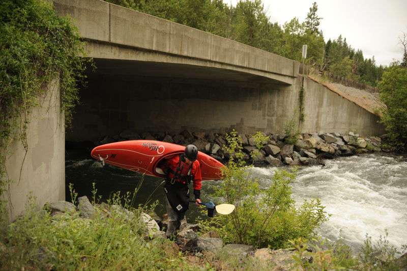
Those who are most interested in the class III can take-out at the intermediate access point available on the upstream river left side of the Highway 97 Bridge.

Use caution as you approach. Can be portaged but is sometimes run.
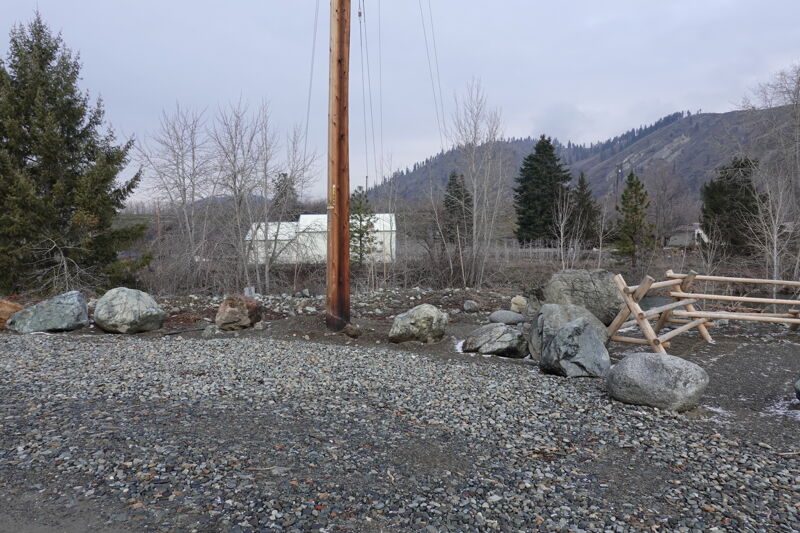
Take-out at the WDFW Dryden Dam Water Access Site, which is also used by river users portaging Dryden Dam on the Wenatchee River. To reach the site by vehicle, turn off Highway 2 just south of the Highway 2 bridge over Peshastin Creek (at mile 105.2) and follow Saunders Road 0.3 miles back toward the creek. Turn right before crossing Peshastin Creek onto the access road, which leads 0.4 miles to an unimproved parking area near the confluence. The Lower Peshastin Creek Restoration Project was implemented in the summer of 2025 and placed large river-wide wood jams in both the primary and secondary channels, making the final 0.3 miles of the creek impassable. Boaters must take out upstream of the project area to avoid these hazards. On the river, look for signage on river right just downstream of the Saunders Road bridge, then eddy out. When parking, the site is a small pullout marked by large boulders and a utility pole at the start of a split-rail fence.
Jan 29, 2026
May 21, 2023
A thrilling, absolutely continuous Class III/IV step-up paddle for those who know how to stay in their boat. Fresh Squeezed is a fun series of shoots (stay right), but there are plenty of other holes and laterals to keep one alert for this whole run. So much fun. We had a crew of 6; 5 creekers and myself in a packraft. Two of the hardshellers ran Ingalls first and then we continued to do some huge wave Wenatcheee stuff later. No riverwide wood.
Jul 14, 2022