Raging
Preston to Fall City
| Difficulty | III+ |
| Length | 4.8 mi |
| Avg Gradient | 71 fpm |
| Gauge | Raging River Near Fall City, Wa |
| Flow Rate as of 21 minutes | 12 cfsbelow recommended |
| Reach Info Last Updated | May 23, 2025 |
The Mountains to Sound Greenway stretches more than 100 miles along Interstate 90 from the shores of Puget Sound in Seattle, across Snoqualmie Pass, and into Central Washington. Encompassing over 700,000 acres of public land managed by local, state, and federal agencies, the Greenway protects an extraordinary landscape that [...]Read More
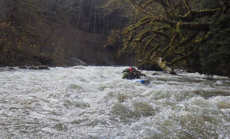
This is a rainy season run that typically requires a few days of solid rainfall to reach runnable flows. The river begins as a class II section as it meanders through the small town of Preston. The Raging is prone to wood accumulation, and while most hazards can be seen and avoided, paddlers should expect to get out and portage in places. About halfway through the run, the river swings close to the road and drops into the class III+ 'Cheesegrater,' a boulder-strewn rapid with powerful holes. It then passes under the Preston–Fall City Road and enters a dark-walled canyon, where another class III rapid turns sharply away from the road. From there, the river gradually eases before reaching its confluence with the Snoqualmie at Fall City. Due to frequent wood hazards, scouting is strongly recommended before running.
Additional Information: A Guide to Whitewater Rivers of WA, J. Bennett (1990)
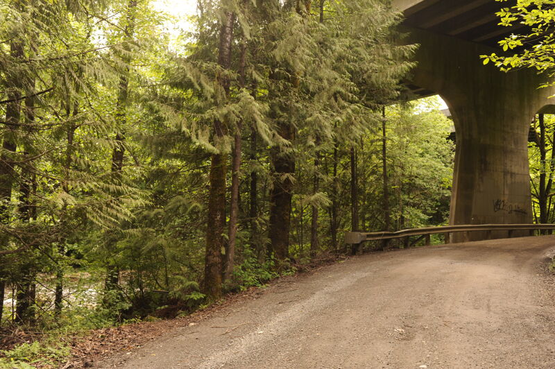
A good access is available just upstream of Preston along 312th Ave SE underneath the westbound lanes of I-90 that cross high overhead.
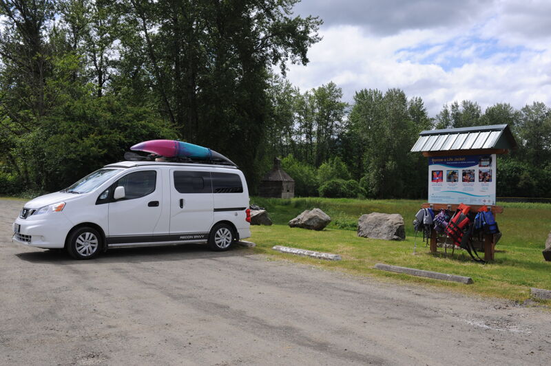
The run finishes off with a short paddle on the Snoqualmie River where you pass under the bridge in Fall City and take out on river right at the Fall City Park.
May 21, 2025
Nov 16, 2015
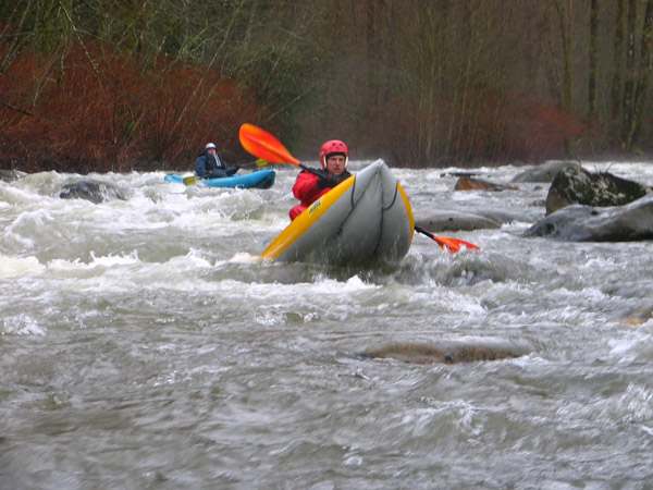
Nick Borelli enjoying 1050 cfs
Mar 17, 2014
A few logs span the river just upsteam of the 86th St. bridge in Preston. You can easily scout this from the bridge during shuttle, and decide if you want to put in here or upstream at the usual 'under I-90' put-in. Below here there was one large log limbo move in the braided section just above Icy Creek. At higher levels this limbo might not go, but portaging looked to be straight forward. There was a channel-wide log right at the confluence of Icy Creek that could be paddled over or carried. With more water you might not even notice this log... Everything below here was fairly clean. Sure, there's some wood, but everything was easily avoidable.