Rattlesnake Creek (Naches trib.)
North Fork to Nile Road Bridge
| Difficulty | III |
| Length | 8 mi |
| Avg Gradient | 87 fpm |
| Gauge | Naches River Near Cliffdell, Wa. |
| Flow Rate as of 7 hours | 352 cfs |
| Reach Info Last Updated | July 10, 2011 |
The Okanogan and Wenatchee National Forests encompass more than four million acres and are jointly managed with headquarters in Wenatchee, Washington. The rivers flowing through these forests are essential to the whitewater paddling community—both as close-to-home runs for Washington residents and as classic objectives for paddlers traveling from across [...]Read More
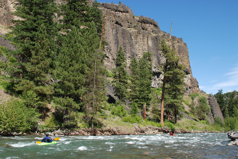
Description: This is a beautiful run with awesome scenery and great rapids. Of all the runs in the Naches drainage it offers the most significant opportunities for solitude because the road is high up on the hillside and not down along the river as is the case everywhere else. Flows are not diverted or dammed and the banks are not scattered with rip rap. It is one of the true gems of the drainage.
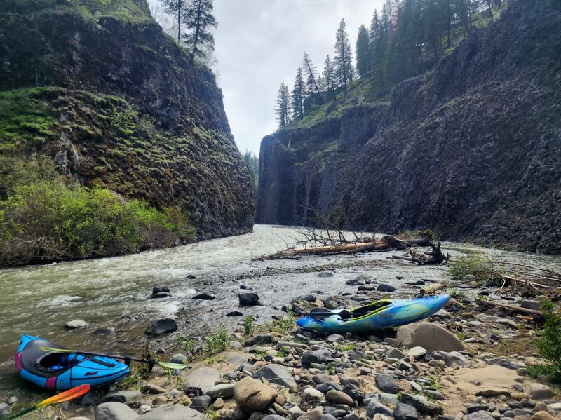
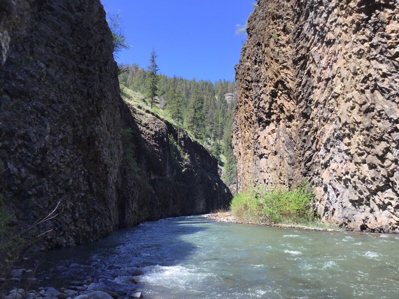
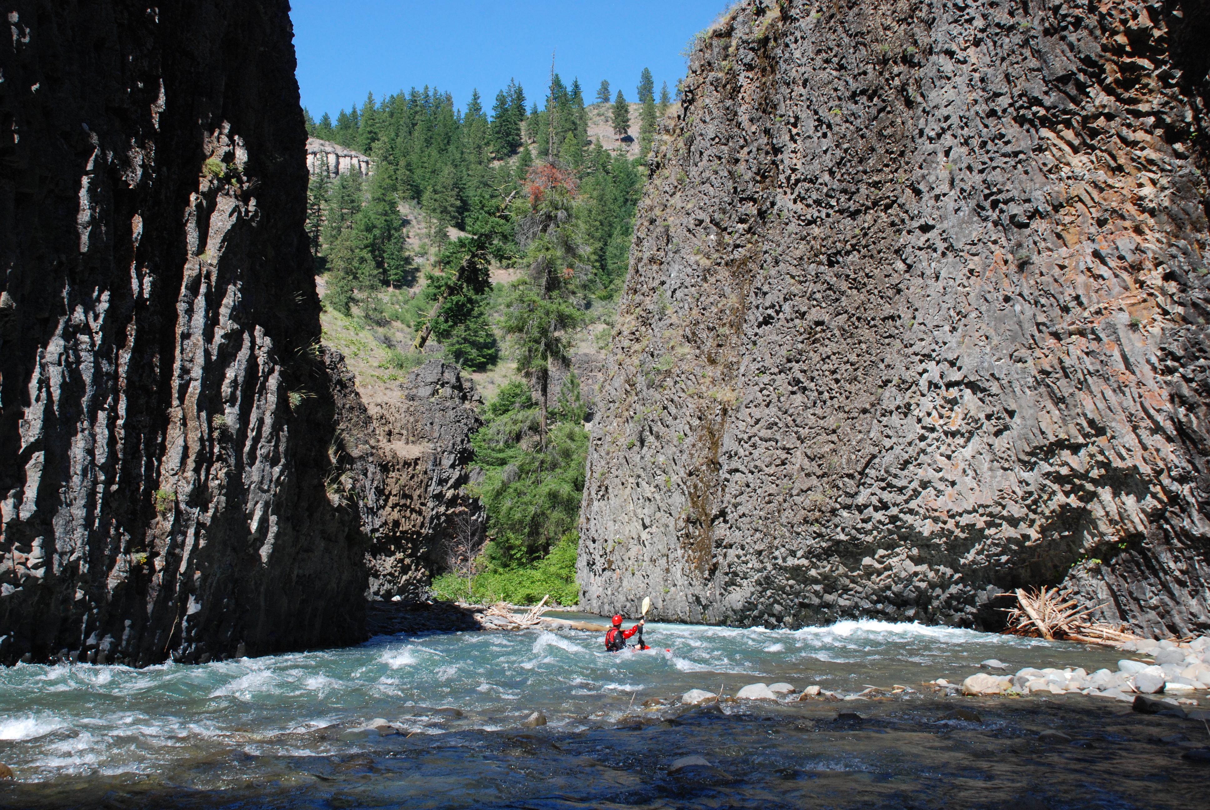
The run starts in a tight canyon with alternating cliffs and steep rapids. One of the first drops on this section is the most challenging on the run. You leave Forest Service lands as you pass by a private residence deep in the canyon. The river goes through a broad valley with continuous low-gradient rapids with some braided channels and gravel bar rapids. Next, it enters a winding box canyon with tall cliffs on each side. The rapids here are mostly curves into slightly undercut basalt walls. The run ends in another broad valley with some braided channels. You know you are approaching the take-out when you see the Naches River valley in front of you.
While the rapids may only rate class III, this is not a run for hesitant class III boaters and you should be prepared to make class IV moves around hazards depending on the wood situation. A half dozen portages are to be expected with the actual location shifting from year to year. That being said, this run is known for it's great scenery and is a fun trip for those with the skills to safely enjoy the run.
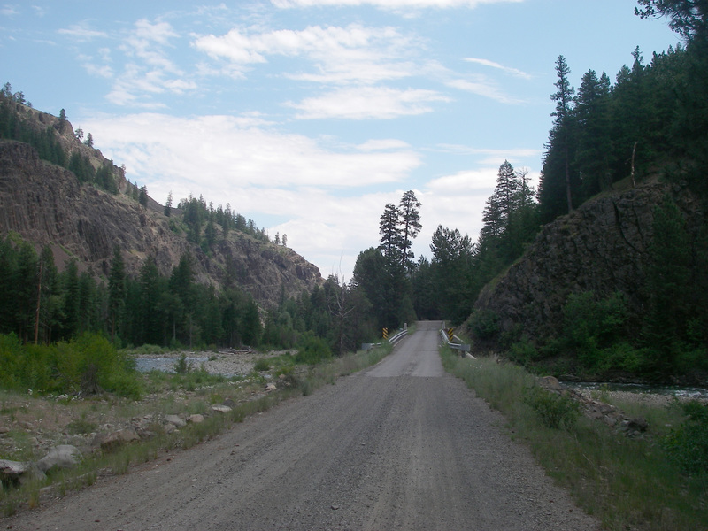
Logistics: This river is a tributary of the Naches accessed off Highway 410 and located upstream of the Tieton confluence but downstream of the American and Bumping Rivers. To reach the take-out, turn onto Nile Road off Highway 410 at mile 108.3. Follow this road 1.4 miles to the bridge across Rattlesnake Creek. To reach the put-in, take the FR 1500 (Bethel Ridge Road) that heads upstream on river right. This shuttle road offers some great views down into the canyon before you drop down towards the rive
...May 16, 2026
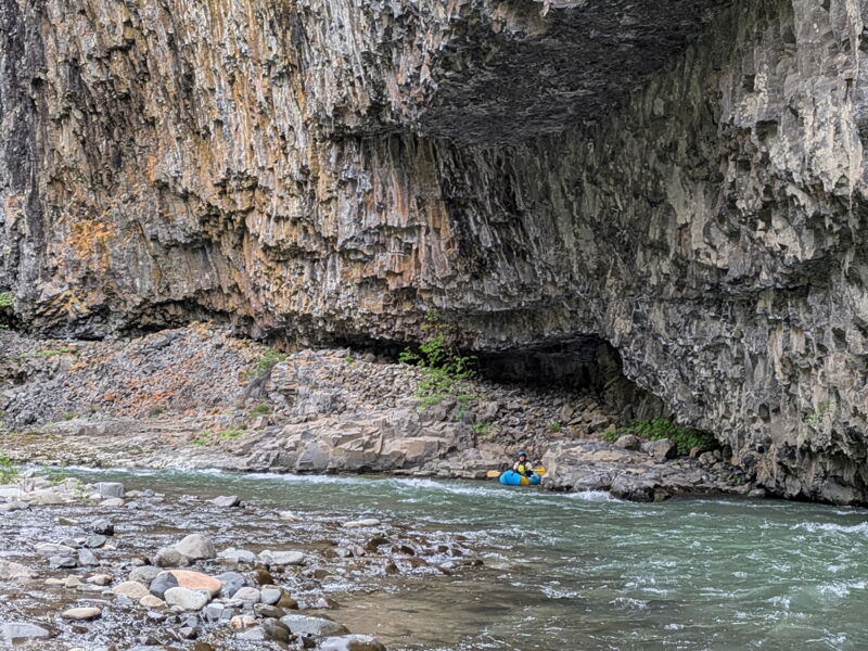
The Naches was about 1,460 cfs on May 13, 2026, when three of us kayaked the creek. Flow was on the good side of low and the run took 3 hours, including about 6 short log portages plus several spots we scouted for routes around wood. A couple of the portages were in the first mile, but when the valley narrowed into the first canyon there were fun Class III drops. The second canyon is a narrow twisting gorge where folded columnar basalt walls extend to the water on both banks, in places reminiscent of Idaho's Jarbidge Canyon. See Nick B.'s report from two weeks ago for great pictures. Fortunately, there were no portages in the gorge. At twice the flow I would be wary of undercut headwalls. After you pass a group of cabins the river valley spreads out through braided channels of boulders, cobbles and wood for the last couple of miles. Go with a small group that can catch small eddies and doesn't mind the portages. For us, it was worth the price of admission.
May 2, 2026
In a region that has some stunning columnal basalt, I can't think of a more impressive display than what we saw paddling Rattlesnake Creek. The river made us work for it though, we had about 3 portages in the upper section of the river and another 10 in the braided section. The river really moved around noticeably since the prior year due to the winter flooding. The take out bridge even washed out! So approach the river from the south side. — Ariel, Brett, and I floated down on May 2nd 2026. Flows were 1750 on the nearby Naches @ Cliffdel gauge. Felt like a medium-low flow to me. — We started out at the put in bridge. About a mile downstream, where there used to be a log jam, the river channel shifted to the right and now avoids it. Unfortunately, some of that wood washed downstream around the bend and wedged itself in the best rapid! Bummer. Looks like it may clean out in years to come though. Portage on the right and admire one of the more impressive displays of angular basalt above. 46.80846, -121.05256 — The second portage was about 50 yards below. From here on there was some nice class III- rapids and some scenic basalt displays. While the rapids didn't push beyond class III, the swiftness of the river and it's propensity to gather wood would keep me from bringing any beginners along. There aren't many good eddies either. We'd usually drive ourselves onto a cobble bank to get out. — Not before too long, we passed under the bridge with the baller cabins around. Just around the next bend was the entrance to the Grand Gorge. 300 foot tall sheer basalt cliffs flanked our entrance. Wow. Over the course of the next several bends the canyon entranced us. Wow. 46.81316, -120.99358 – Afterwards, the river opened up and braided. 10+ portages around some channel spanners in this very active section of river. The year prior we only had 2 or 3 portages here. We took out at the wdfw access point with the drop toilet. 46.81687, -120.94289 — We drove shuttle this year, but the bike shuttle is really cool. There's a lot of climbing at first, but it is rewarded with some magnificent views of the river with snowcapped mountains in the background. Dispersed camped in the valley too enjoy the rest of the weekend in this beautiful place!