Sauk
2 - Whitechuck River to Darrington
| Difficulty | III+ |
| Length | 10.5 mi |
| Avg Gradient | 42 fpm |
| Permit | As of 2018, a Federal Forest Pass is required at the Whitechuck boat launch. You can purchase a day pass, use a NW Forest Pass, or a multi-agency pass (that includes National Parks and other Federal land aside from USFS). |
| Gauge | Sauk River Near Sauk, Wa |
| Flow Rate as of 29 minutes | 2290 cfslow runnable |
| Reach Info Last Updated | February 12, 2023 |
Beginning high in the North Cascades, the Skagit Wild and Scenic River winds down steep slopes, through forested hillsides and wide open valleys, eventually reaching Puget Sound. The rivers of this system – the Skagit, Sauk, Suiattle, and Cascade – flow through rugged wilderness, forestlands, rural communities, farmlands, and [...]Read More
Season: Can be run with winter rains when the freezing level is not too low (November is often good but any good rain event will bring it up). A consistent performer through the spring snow melt and into early summer (typically April through July).
Description
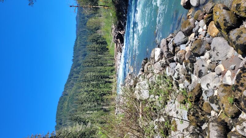
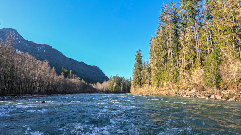
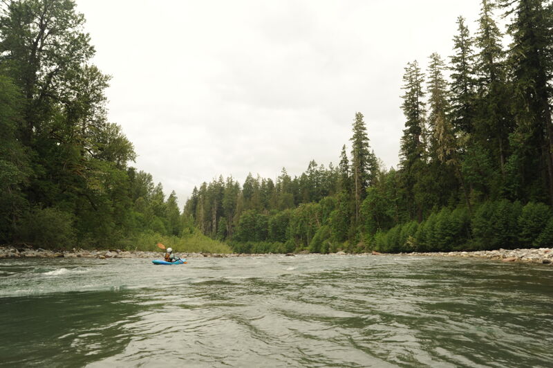
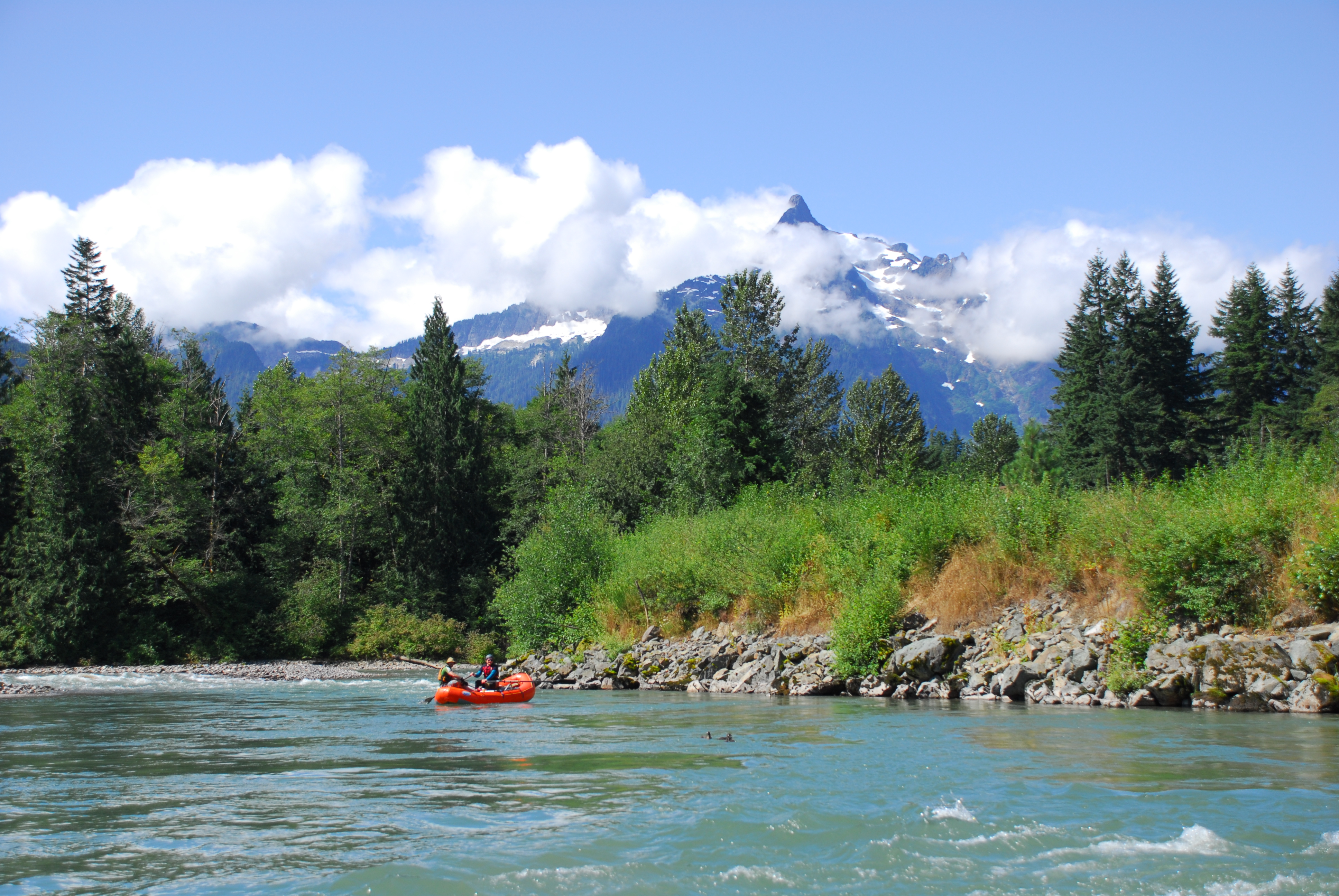
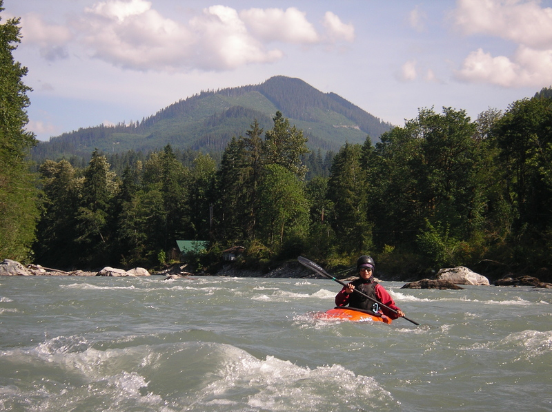
The Sauk is part of the Skagit Wild and Scenic River system and is one of the most scenic intermediate runs on the west side of the Cascades. Over the course of the run you will be treated to a forested river corridor with just a couple glimpses of the road and a few cabins near Backman County Park. Most of the rest of the river corridor is in conservation status and the Forest Service has done an exceptional job of implementing the river management plan and providing good river access. On clear days the views are exceptional with Mt. Pugh towering above in the first half of the run and great views of Whitehorse Mountain near the end of the run.
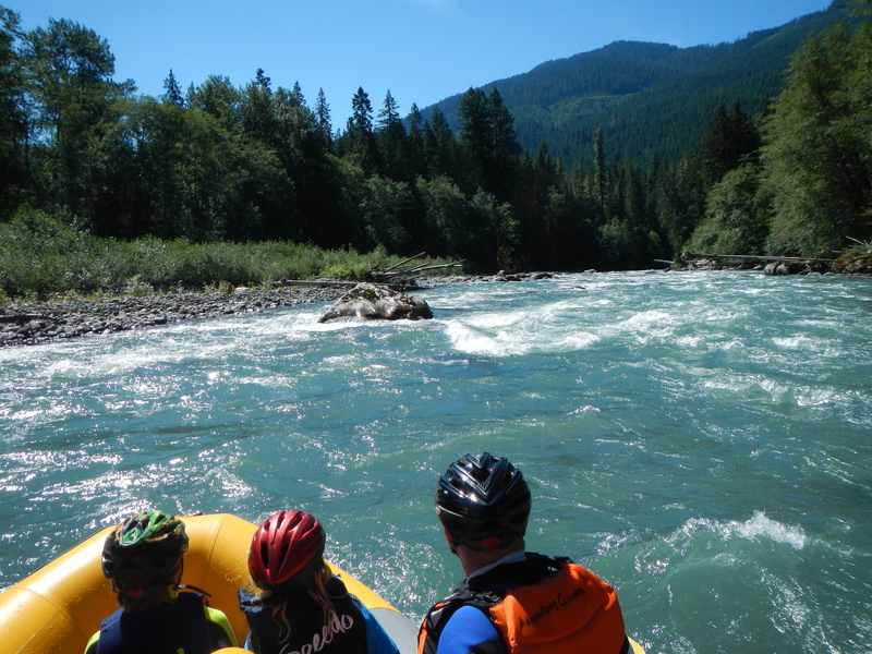
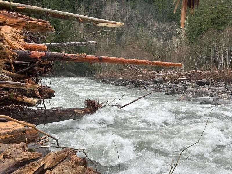
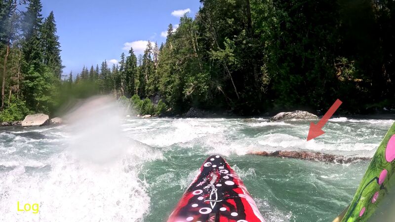
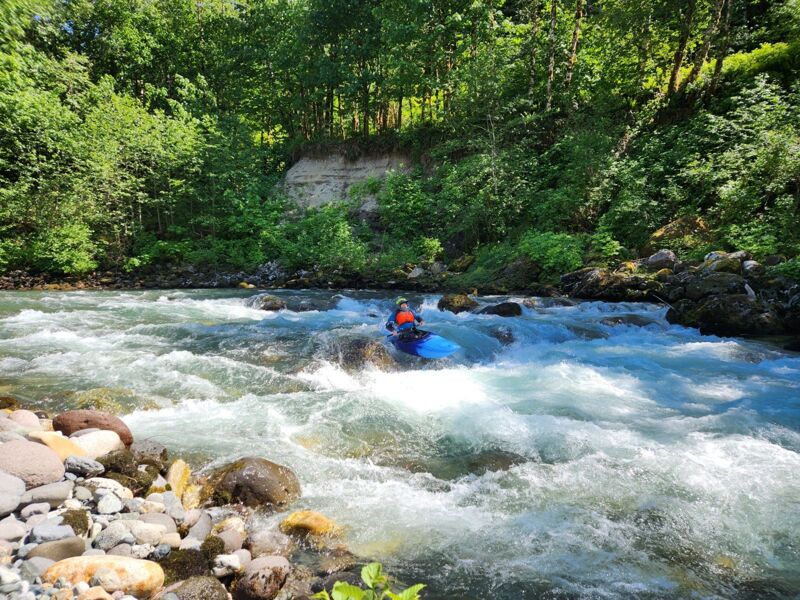
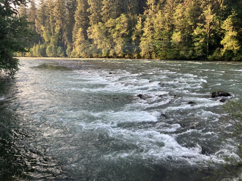
The Sauk provides good continuous class III action. In the past, Jaws was considered a class IV but it has mellowed out since the 2003 floods rearranged the channel and opened up the line. The main hazards are trees which extend out from the banks, a couple large holes that can swallow inattentive paddlers, and at higher water long swims are a possibility. This is an excellent intermediate run that also provides some fun waves and play spots for more advanced paddlers.
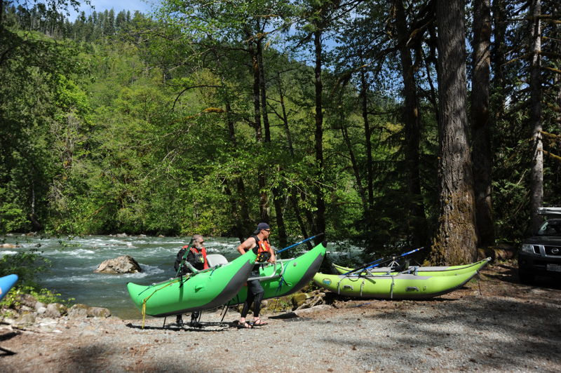
White Chuck to Backman County Park, 7.5 miles
Starting at the confluence with the White Chuck, the river starts off through a number of class III rapids separated by short recovery pools (which become smaller as the discharge increases). There are numerous catch-on-the-fly surf waves.
The one rapid that is somewhat challenging to boat scout is Jaws. It comes approximately 2 miles into the trip where some large boulders create a couple holes and large waves toward river right. The route through is fairly straightforward and
...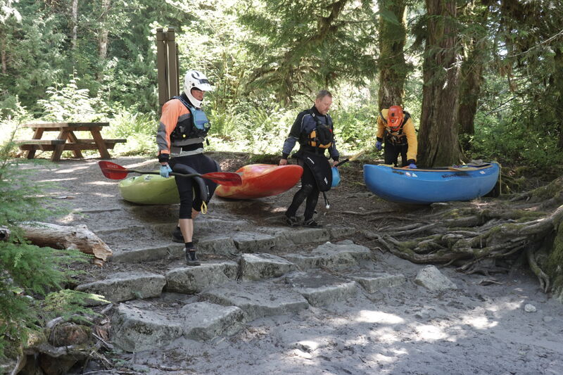
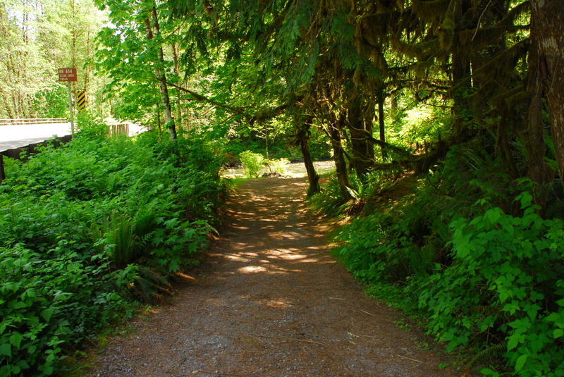
This access facility is administered by the US Forest Service and is located on river right immediately downstream of the Whitechuck confluence with the Sauk River.

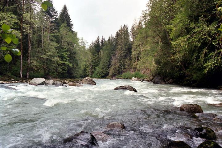
Boulder garden with small drops. Located at USGS River Mile 30.2.
The main current heads towards the Demon Seed, a large rock right of center towards the bottom of the drop. You can skirt the right side of this but those who can manuver quickly can take a slightly smoother line to the left of it. Located at USGS River Mile 29.9.
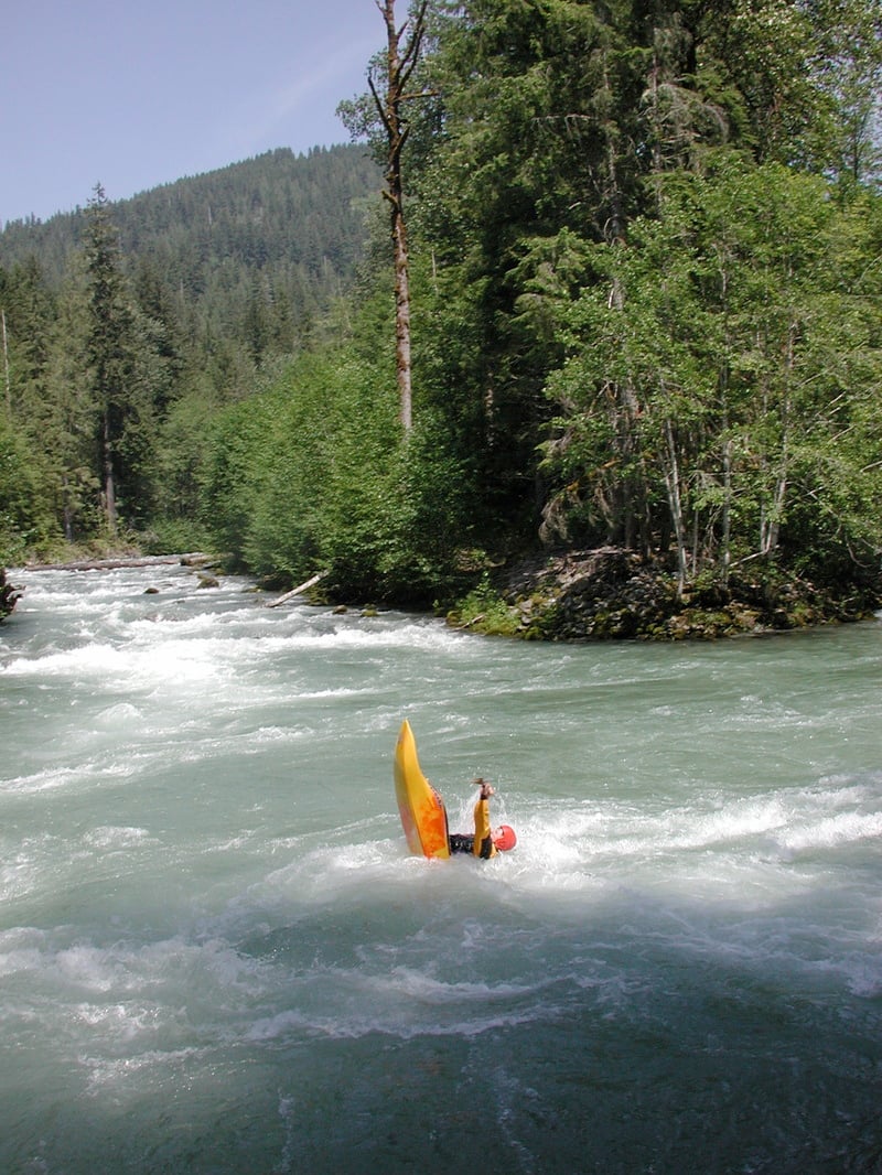
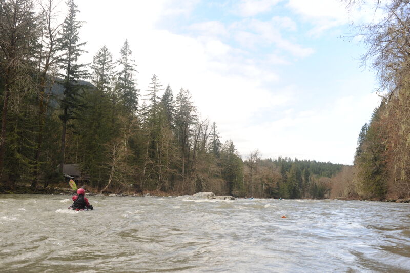
At the pull-out at milepost 47 you can scout Whirpool which will give you an idea of the level of difficulty on this run. The Whirpool itself is largely gone. The former channel was all left side and there was not a river right option for decades--it was blocked off by a massive log jam but it did have some water bleeding through. The name Whirlpool came about because of the effect that drop had on the boats. After punching or inside skirting the stout hole at the sharp turn in the river, boats would exit the corner and run into the flow coming through the log jam and get hit with a 90 degree side current at the confluence of the two and get tube suckage and 'whirlpooled'. When the log jam broke loose in a flood it created the now main channel and the left side 'dried up' and hence no whirlpool exists anymore. Located at USGS River Mile 29.0.
'The Game Show' as in door #1, #2, #3. This drop has changed a lot over the years. It's all formed by a giant gravel bar that's now in the center of the river and the route is clearly left channel. Formerly for decades it was all a far right run. Then after flooding it opened the middle channel and the right was unrunnable. After a couple of years of running the center channel, right river had carved that channel on river left that we run today. Hence the name 'Game Show'. Located at USGS River Mile 25.9.
This is a popular take-out point for kayakers where Clear Creek enters the Sauk. This can also be a put-in for a shorter class II float down to the Mill Bridge. Located at USGS River Mile 25.1.
This access is in the neighborhood along Clear Creek Road. It is a the standard take-out most trips use as the rapids begin to taper off. From the river you need to start looking for the boat ramp on river left as the first couple cabins come into view. It is easy to miss if you are not paying attention. American Whitewater worked with the Forest Service and Snohomis County Parks to make signficant improvements to this access in 2014. Located at USGS River Mile 24.8.
Boulder garden rapid with lots of options depending on flow. USGS River Mile 24.7.
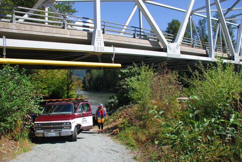
American Whitewater advocated for the improvement and formalization of this access with the reconstruction of the bridge. The launch access road extends under the bridge and is reached from the upstream river left side.
Jun 19, 2026
Ran this Friday, 6/19, and Sunday, 6/14, in our 14' raft with a stern-mount frame (I know, this is usually a commercial set up, but hey, it was what I learned on :D ). Flow was right around 4000 cfs both times. There was a lot of manuvering around big rocks and sleepers, while also making sure to stay strait through some decently large waves, especially jaws. Had a mix of first timers and experienced paddlers on the boat both times and everyone thoroughly enjoyed themselves. A few downed trees are in the river, but most are parallel to the current and easy to avoid. Some of them look like someone went in and hacked off limbs to make it safer. The far river left channel on whirlpool was almost completely non-existent, little more than a creek. Looks like the channel got blocked up during the floods last December.
May 10, 2026
Whirlpool log is cleared out for good running! Whirlpool feels bigger since the floods with more holes throughout.