Kings
1. Middle, S. Fork confluence to Garnet Dike Campground(Kings Canyon)
January 1, 1900
| Reporter | Paul Martzen |
Looking east from highway 180. The Monarch Divide fills the middle of this picture and separates the middle and south forks of the Kings river. Highway 180 is visible on the right at Yucca Point. Part of the Yucca Point Trail is visible just below the road.
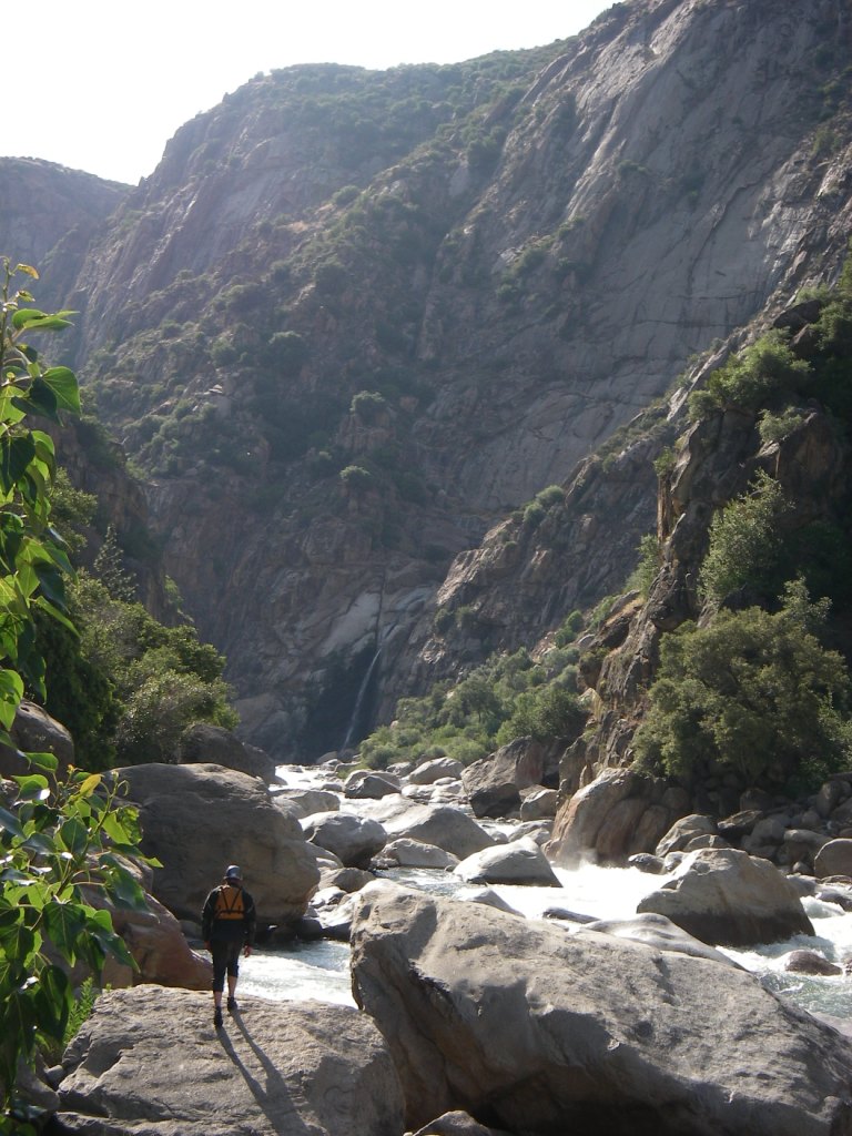
The Kings River between Rough Creek and Garlic Creek is congested with large boulders that form a series of big class 5 rapids. This view is looking upstream from the top of the lowest of the Garlic Falls.