Stillaguamish, S. Fork
2 - Mallardy Creek to Verlot (Middle)(Silly Stilly)
November 20, 2021
| Reporter | Thomas O'Keefe |
| Gauge Reading | 5.4 ft at SF STILLAGUAMISH RIVER NEAR GRANITE FALLS, WA |
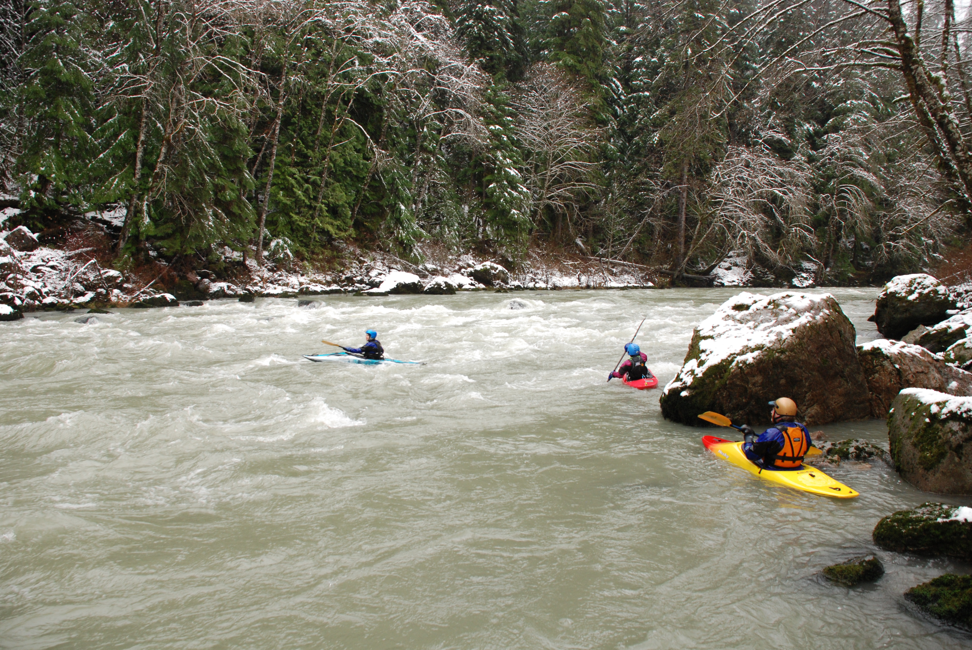
We had a fun trip down the South Fork Stillaguamish after the recent high water event. We met up at the Verlot Ranger Station (parked at on the river side of the highway near the big log and mining cart) and set take-out vehicles there. We put-in at Boardman Creek access and had one log we needed to immediately portage. The rest of the run was largely clean with a few pieces of wood in play in some of the drops that was easily avoided. This is a good low runnable flow. The big project to reroute the river at Gold Basin Campground was impressive with engineered wood structures lining the bank for a long distance. Several sections eroded away in the last high water event. We did not find any evidence of logs from the structure as we continued downstream to Verlot but stay alert if you do this run.