Wenatchee
1. Lake Wenatchee State Park to Tumwater Campground
| Difficulty | II |
| Length | 18.2 mi |
| Avg Gradient | n/a |
| Gauge | Wenatchee River at Plain, Wa |
| Flow Rate as of 1 hour | 729 cfsrunnable |
| Reach Info Last Updated | February 27, 2026 |
The Okanogan and Wenatchee National Forests encompass more than four million acres and are jointly managed with headquarters in Wenatchee, Washington. The rivers flowing through these forests are essential to the whitewater paddling community—both as close-to-home runs for Washington residents and as classic objectives for paddlers traveling from across [...]Read More
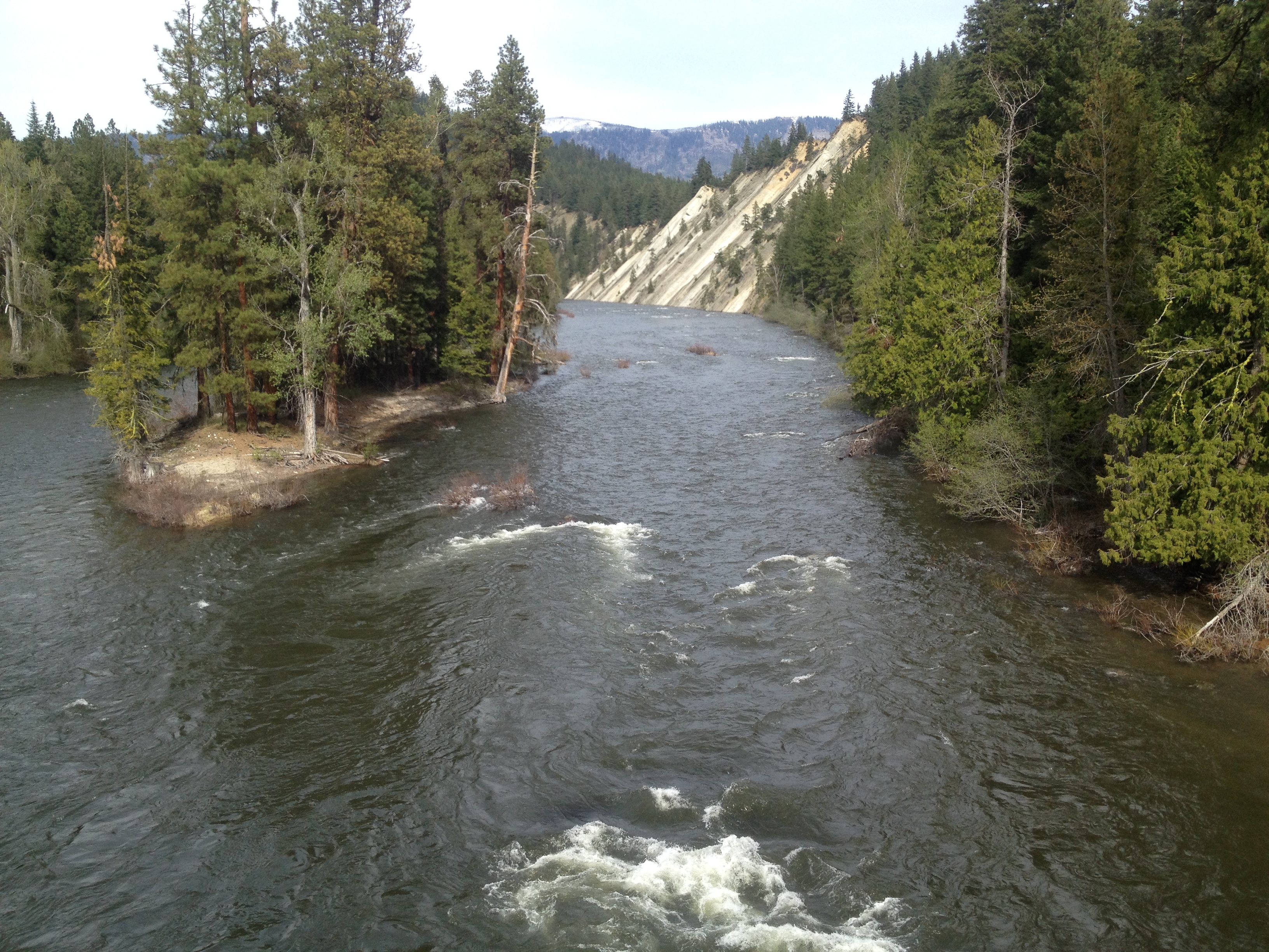
Starting at Lake Wenatchee, most of the river is class I but you will encounter a few class II rapids in the rock gardens upstream of the bridge in Plain, an intermediate access point. A little ways downstream of Plain and after you pass the railroad bridge, you leave the vacation cabins behind and the river flows through a more remote setting as you encounter some sandstone ledges and high cliffs. The Highway 2 bridge marks the start of Tumwater Canyon and the end of this run. The river is high in the spring but can be enjoyed throughout the summer and into fall when the vine maples make for a beautiful fall colors trip.
To reach the put-in, turn off Highway 2 at Cole's Corner (Highway 2 mile 84.7) and head north on Highway 207, the Lake Wenatchee Highway. In 3.5 miles you will reach Cedar Brae Road that turns off to the left and continues 1 mile to the boat ramp in South Lake Wenatchee State Park. The boat ramp is at the outlet of Lake Wenatchee where the river starts.
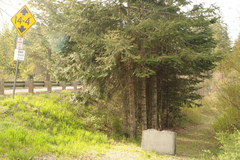
An alternative put-in can be reached by heading north on Highway 207 for 4.2 miles from Highway 2 at Cole's Corner (Highway 2 mile 84.7), and then turning right onto Brae Burn Road just before crossing the Wenatchee River. A short drive parallel to the Lake Wenatchee Highway goes between Brae Burn Road and the river, just downstream of the bridge on river right. The issue with this access is no parking is available at the site so you can only use it as a drop off point if you have a shuttle driver. Please be sure not to block access of the Brae Burn Rd. residents.
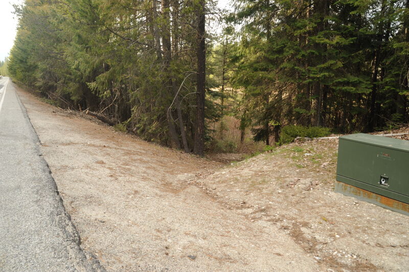
This access point can be used as a take-out for floats limited to the Class 1 sections upstream, or as a put-in to skip the Class 1 sections and begin directly above the Class 2 rapids upstream of Plain. From the junction of Highway 207 and Chumstick Highway near the headwaters, travel about 2.5 miles down Chumstick Highway; the site is on the north side of the road. Look for a green electrical box on the north side of the highway and park along the shoulder. The informal path to the river can be located by standing near the electrical box. From the river, the site is on river right, just before the river turns left away from the road and just upstream of a sandy wall on the right bank. The access is often obscured by shrubbery and is difficult to spot without the pink tape typically tied to bank vegetation. This is an informal access point with no amenities and no cell coverage for about a mile in either direction.
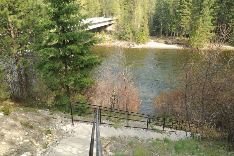
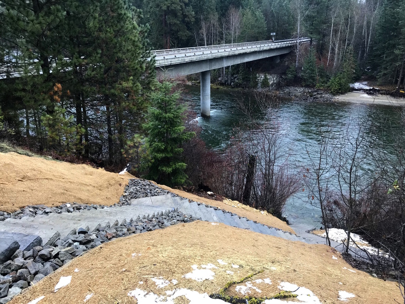
An intermediate access point can be reached by heading north on Highway 207 for 3.8 miles from Highway 2 at Cole’s Corner (Highway 2 mile 84.7), then turning right onto Highway 209 (Chumstick Highway). Continue 4.5 miles east to the bridge across the Wenatchee River. Chelan PUD developed a new access point on the downstream river right side of the bridge, funded by the Public Power Benefit Program. The lot holds roughly a dozen vehicles; parking on the left side first helps keep space available for vans with trailers to turn around. A short gravel path leads from the lot to steep, four-foot-wide concrete stairs that descend to the river and can be difficult to use with large rafts. During high flows above 5,000 cfs, the base of the steps will be submerged, and shoreline vegetation makes the access hard to see from the river and easy to float past. From the river, this access point is on river right, about 20 feet downstream of the Chumstick Highway Bridge. Although the location is predictable, it is still easy to miss because no natural eddy marks the landing. For floats from the headwaters to Tumwater with small children, this site can serve as a useful way station, as a portable toilet is available in the parking area.
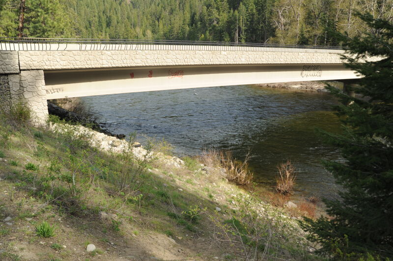
The take-out is on the downstream river right side of the Highway 2 bridge across the Wenatchee River just downstream of Tumwater Campground and before the river begins its descent into Tumwater Canyon. It is located at Highway 2 mile 90.3 where you turn onto Hatchery Creek Road and a short drive that provides access adjacent to the bridge. It is a bit of a scramble up the bank here.
Apr 25, 2025
Drive by site visit to access sites on the Wenatchee River.
Jun 14, 2022
A great stretch of river for beginner boaters when most other stretches are blown out and nearly eddy-less. A flow of 10900 cfs on the gauge at Plain makes for a very quick-moving main current with a handful of smaller wave trains, a couple mid-stream eddies behind islands, and some stronger eddy lines alongside cliffs.
A couple of isolated log jams that could be in play for unaware swimmers, but otherwise minimal hazards. The first notable logjam exists river left past the first wave train as the river bends to the left and back right. It is not in play unless someone is in the water and unable to swim away on their own. The second notable jam is slightly downstream of this, approximately .25 mile. It is on river right and composed of two large, old growth logs situated in an upstream V near the right bank. Again, not in play for paddlers in their boats. However, if one is towing a swimmer to avoid the jam on the left, keep heads up and plan on catching an eddy well below the jam on the right.
If you put in at the lake, you’ll have about an hour of flatwater until you reach the intermediate access point that we’ve christened “Mosquito Eddy”. From there, you have about half a mile before it starts to pick up slightly. The surf wave that develops river left below the Railroad Bridge is large, but can be skirted far left to set up to avoid the swirling eddies on the right bank. The wave could also be avoided to the right, but then be aware of stronger eddy lines and swirling eddies that we have affectionately dubbed “Toilet Bowl”. Nothing of major note, just gentle Class Fun read and run.
As the river’s speed picks up on its way to Plain, there are increasingly difficult eddies to practice catching and gentle currents to work on ferry angles.