Cheat, Laurel Fork
US 33 Bridge to Cheat, Dry Fork (Jenningston)
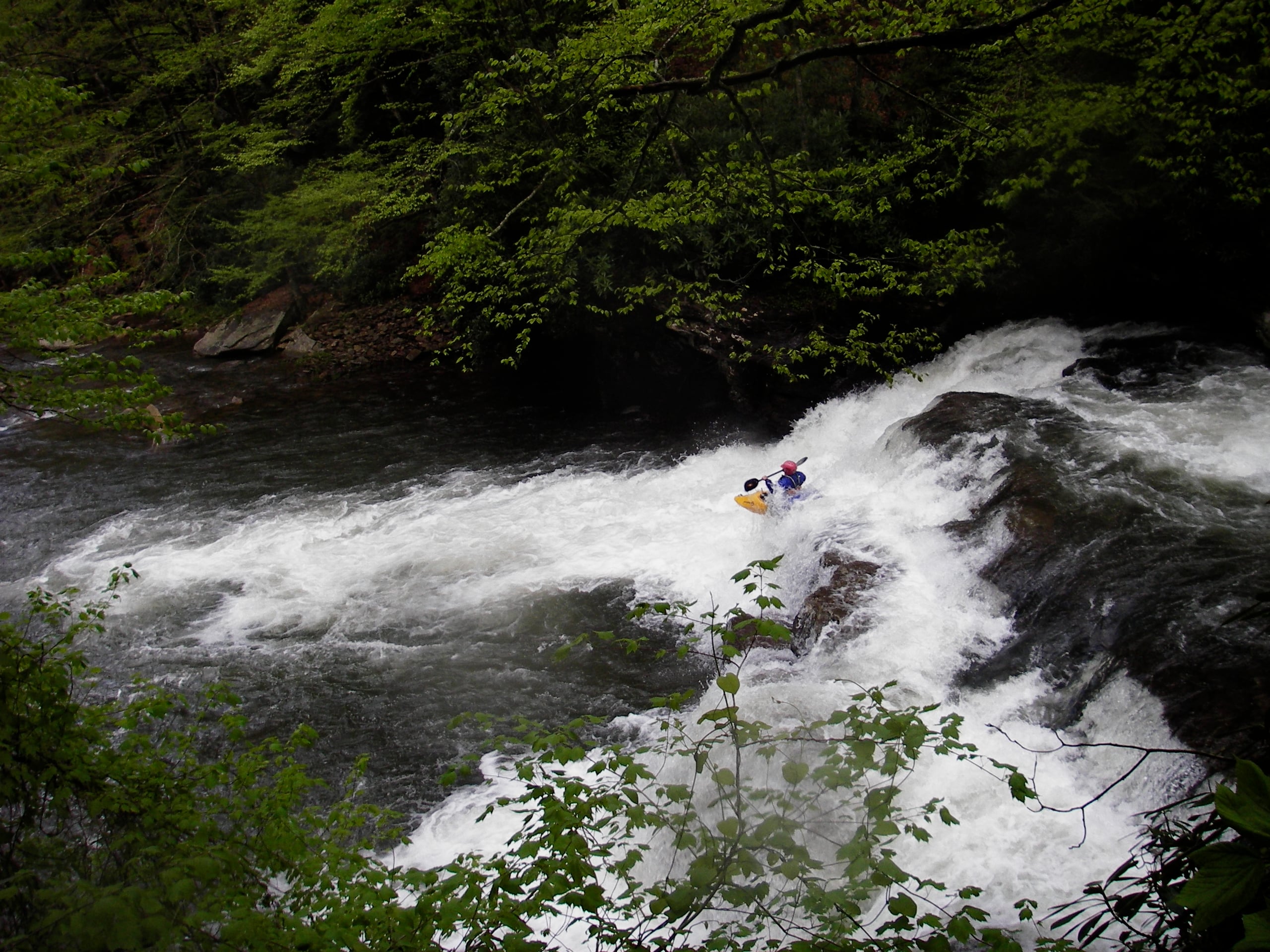
May 9, 2002
| Reporter | Joseph Greiner |
Ran this on 5/3/2002. Putin gauge was 2 inches when we put on and 1 inch when we took off. 3 inches is probably fun minm. 2 inches was passable but really low in places. At 0800 Evenwood=4.20 Parsons 6.31 and Hendrix 4.14. While we ran it at a low level, I find it hard to imagine this as a class III-IV run except at way higher water. Except for the 12' falls the gradient is very evenly spread out over the river, there are few if any boulders to obstruct the view, the ledges are all 2-4' and easily approached to scout a spot to run them. And the rapids that are not ledge rapids are mostly wide open and visible. My best rating would be class III to III- (using Nantahala Falls as a reference rapid rated at III-)with maybe a low class IV (the 12' falls). The run does have VERY VERY high scenic values at any level. The length is a little misleading. It is long but the gradient is constant after about the first couple of miles and because the rapids (exc the 12') are so comfortable to approach and run, it is easy to keep moving. The stream bed at the put in is very indicative of what you will find downstream. In general the width and depth are about the same as at the put in bridge. Ocasionally it will narrow but in general it is the same or wider all the way down. Would like to see this at 12 inches and falling to 4 inches and falling.