Cheat, Laurel Fork
US 33 Bridge to Cheat, Dry Fork (Jenningston)
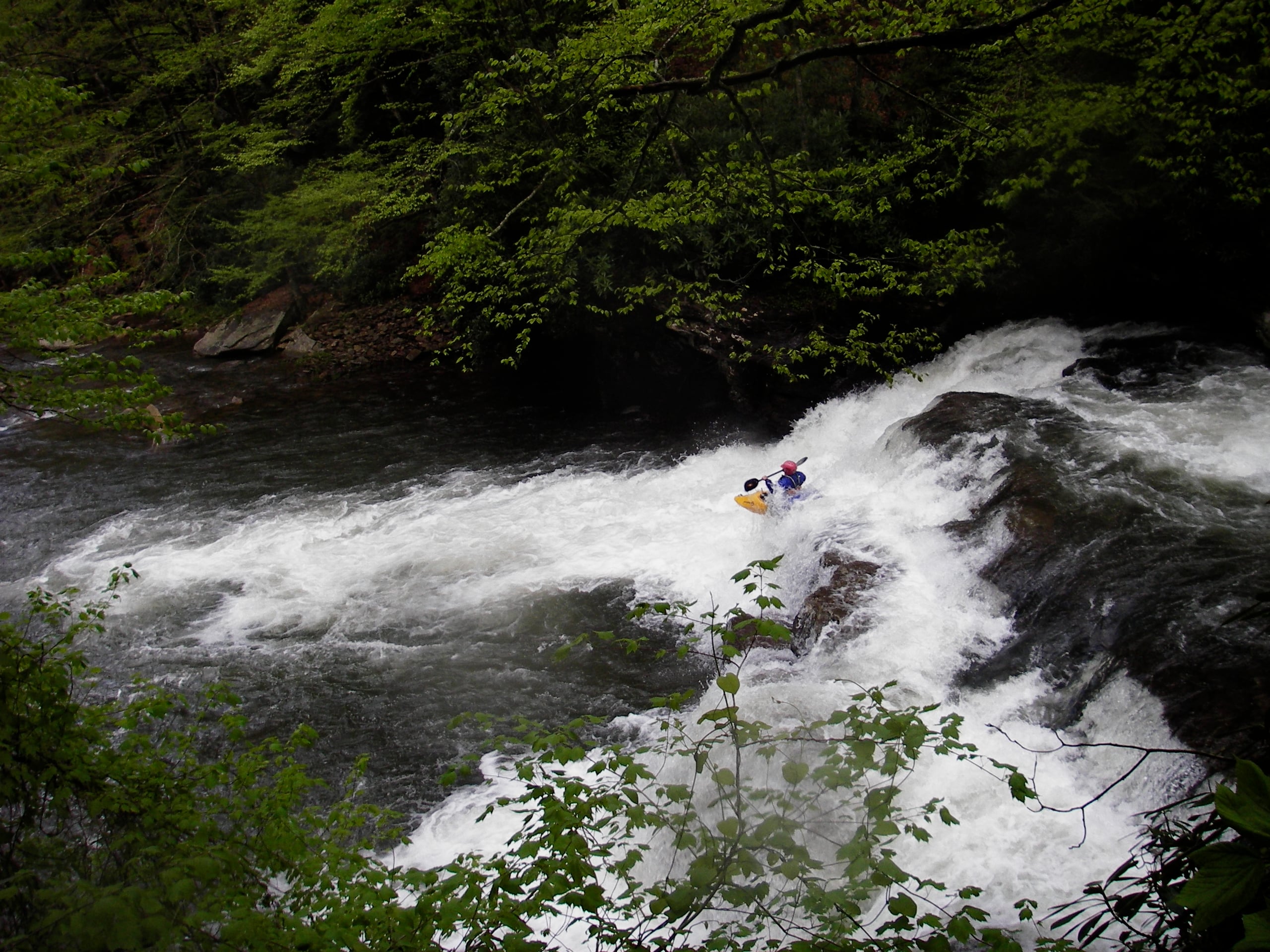
June 22, 2004
| Reporter | Chris Brock |
My friend and I ran this at a less-than ideal level of 2', give or take. The first 3 miles or so are gravel bar riffles that really make you wonder if this is the correct river. Very tedious. Then a 4' semi-ledge sneaks up on you, waking up your skills. After that things get fun with numerous slide-holes and shallow ledges to boogie through, similar to Seneca Creek. Be careful though as 5 major ledges exist on the run, some requiring a scout. The last large (7') ledge has 4 slots, and portaging is definitely not easy as the right bank is a vertical rock wall with a tree down.
One word of caution, the last 4 miles or so become really shallow and a few trees block off the river. We counted 5 strainers, one requiring a portage.
The river has a wide variety of rapids, moreso than most I've run in WV. Gravel bars, shallow rock gardens, slide-holes, vertical 4' ledges/holes and the mentioned 'waterfall' halfway down which is actually more of an oversized ledge with 3 channels. It's just for looking at though. Hats off to anyone able to run that thing and still live. I also do NOT recommend the river be run anything less than around 4' on the 33 bridge gauge. We got stuck too many times to count on the lower 1/4 of the run.