Wind
3 miles to 7 miles below Dubois (Fish Canyon)
September 6, 2017
| Reporter | Jack Gill |
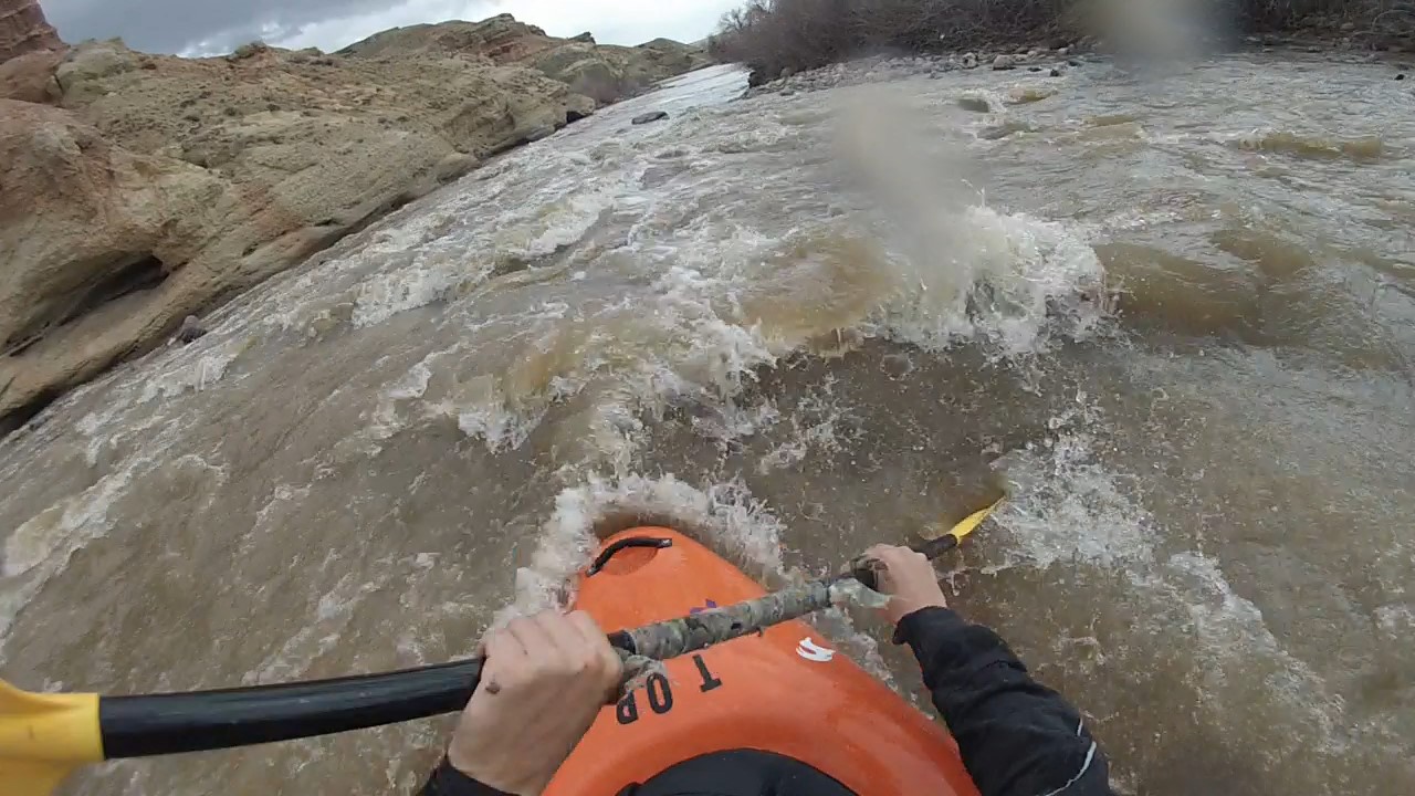
My wife and I ran the Fish Canyon Section in Aug 2017 at a gauge reading of 650 cfs. At this level the rapids in the 3 mile section we ran were a fun Class 2. We ran the river in a solo open whitewater canoe and an inflatable kayak. There was sufficient water that all the rapids had fluid lines if you picked your routes correctly. There were also a decent number of rapids to make the run worthwhile. We put in at the Painted Hills Fisherman's Access which is on Red Hills Rd. off of Route 26 which is approximately 5 1/2 mile SE of Dubois center (plenty of parking). We took out at the North Parker Fisherman's Access which also had plenty of parking. This section was well upstream of the Native American Reservation so no permission had to be obtained. It is my guess that the river would still be fun with water levels at least 100 cfs less than what we had, although one or two rapids might have scratchy lines. The length of the run could readily be extended if one put in upstream at the Fisherman's Access where Fish Hatchery Rd intersects Rt. 26. This is 3 1/3rd mile downstream of Dubois center. At this access point you would have to launch the boat on Jakey's Fork Stream and paddle/walk your craft down to where it meets the Wind River. This upper section of river appeared to have a couple of Class 3 rapids even at 650 cfs although since we didn't run them I can't be sure of that assessment. One could also extend the trip downstream for several miles and take out immediately before the start of the Native American Reservation. One possible take-out would be where Rt 26 crosses over the Wind River just upstream of where it is joined by the E. Fork of the Wind. There were some visible rapids in this section, that also looked about Class 2 in difficulty.