Wind
3 miles to 7 miles below Dubois (Fish Canyon)
April 22, 2020
| Reporter | Thomas Sunderland |
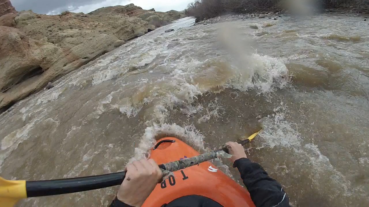
The normal put in location for the Fish Canyon stretch is a fishing access point to the Jakey's Fork on US Highway 26, just west of the Fish Hatchery and Trail Lake roads. Putting in here involves floating down the Jakey's Fork to the Wind River, which requires adequate flows in the Jakey's Fork. Read the sign and map at the parking lot for pedestrian access information if planning to walk down the riverbed (https://wgfd.wyo.gov/accessto/Access/jakeys.asp). Otherwise, you could put in at relatively new fishing access points on the east side of Dubois (near Rodeo Grounds) and float an additional 3 miles. The first take out location is the fishing access point at the bridge on Red Hills Road, but any of the other fishing access points downstream of here can be used as a take-out location. From the Jakey's Fork put-in to the bridge at Red Hills Road is just over 3 river miles. The optimal flow for this stretch, in my opinion, is between 2500 and 4000 cfs because the rapids begin to wash out at higher flows although some large holes form in the canyon. Floating on the Wind River below the confluence with the East Fork, where the Wind River Indian Reservation begins, requires a Tribal fishing license, guide, and/or Tribal Council approval. Contact Wind River Fish and Game for more information on floating the Wind River through the Reservation if interested (flat water): https://www.windriverfishandgame.com/ Hazard note: A large diameter pipe crosses on the bed of the river approximately 1 mile downstream of the Jakey's Fork confluence. This pipe transports water from a ditch across the river, and creates a strainer hazard, particularly at lower flows. The best line is not obvious while floating downstream, but the pipe is generally passable on river-right.