Winnipesaukee
2. Cross Mill bridge road to Franklin (Lower Winni)
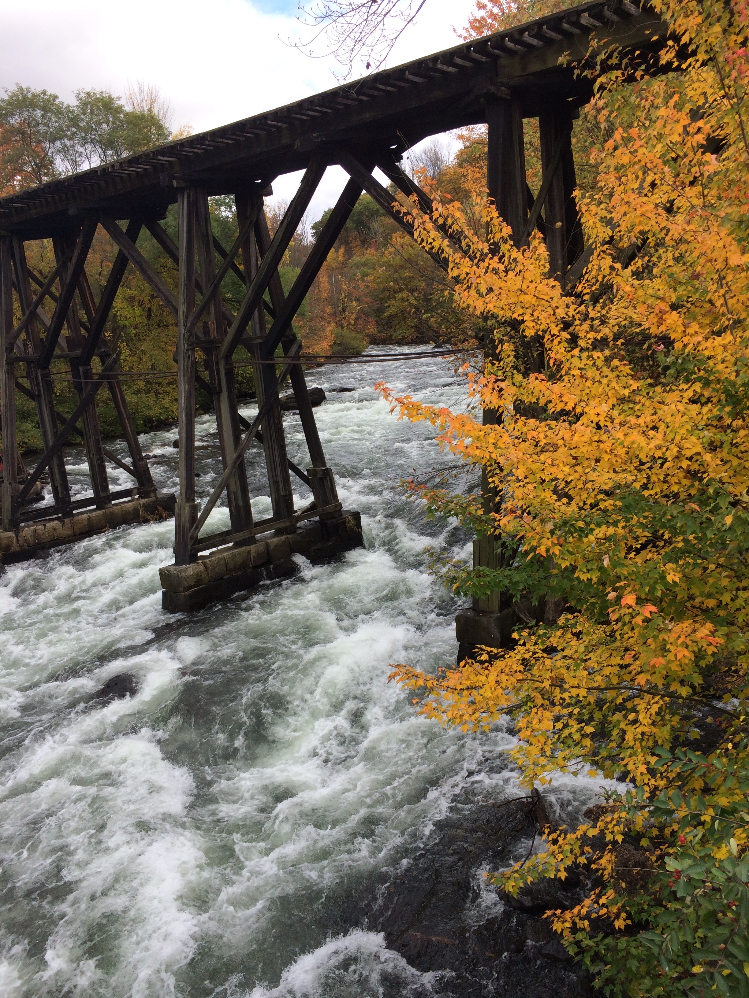
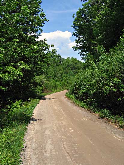
This service-road/bike-path runs along river left for the entire 1.25 mile run. It allows non-paddlers to come along, but the road is 100 feet up a steep hill side from the river and as you can see, the trees make it hard to see the river in many places. It provides a good escape route if you need to abort your run, or a good way to make a two-foot shuttle.
Bob Dunn
Portage Road
n/a
Bend in the Road