Winnipesaukee
2. Cross Mill bridge road to Franklin (Lower Winni)
June 5, 2005
| Reporter | Robert Dunn |
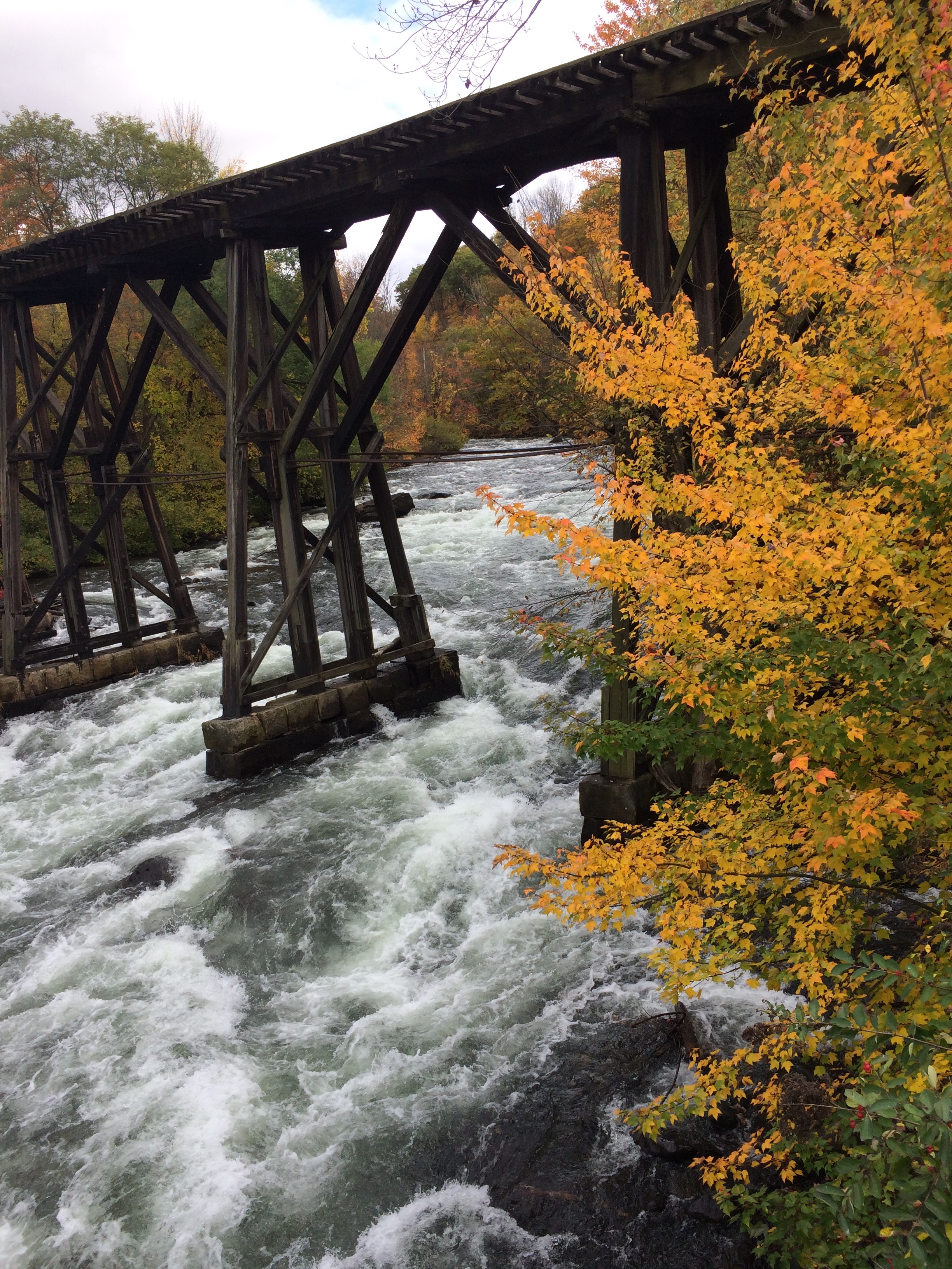
This is the drop under the right side of the bridge at Railroad.
Bill is heading for the center span of the Railroad bridge.
This is the play wave with a large service eddy below Sulfite and before Zippy's.
This shows the top half of Zippy's Final Plunge, just before reaching the railroad bridge. The photo was taken from the top of the railroad bridge.
This service-road/bike-path runs along river left for the entire 1.25 mile run. It allows non-paddlers to come along, but the road is 100 feet up a steep hill side from the river and as you can see, the trees make it hard to see the river in many places. It provides a good escape route if you need to abort your run, or a good way to make a two-foot shuttle.
This shows the view of Railroad Rapid from the railroad bridge. The most common line is down river right, then moving toward river center at the very bottom left corner of the photo, then passing under the center span of the bridge.
This route opens up at higher water levels. Watch out for the boulder sieve, it's a good place to break a paddle.
The easiest route at Coliseum is to make a very sharp turn and head for the river left eddy in the middle of the rapid. You can't start too close to the left shore as there are some shallow rocks. Paddle hard left as the currnet tries to sweep you down into the wall.
I've seen people take the above three routes in Coliseum. The center and alpine routes are not available at lower water levels.