Piru Creek
4) Lake Piru to Santa Clara River(Lower Piru)
August 15, 2023
| Reporter | Chris Vargas |
| Gauge Reading | 200 cfs at PIRU CREEK BELOW SANTA FELICIA DAM CA |
| Flow | Medium Runnable |
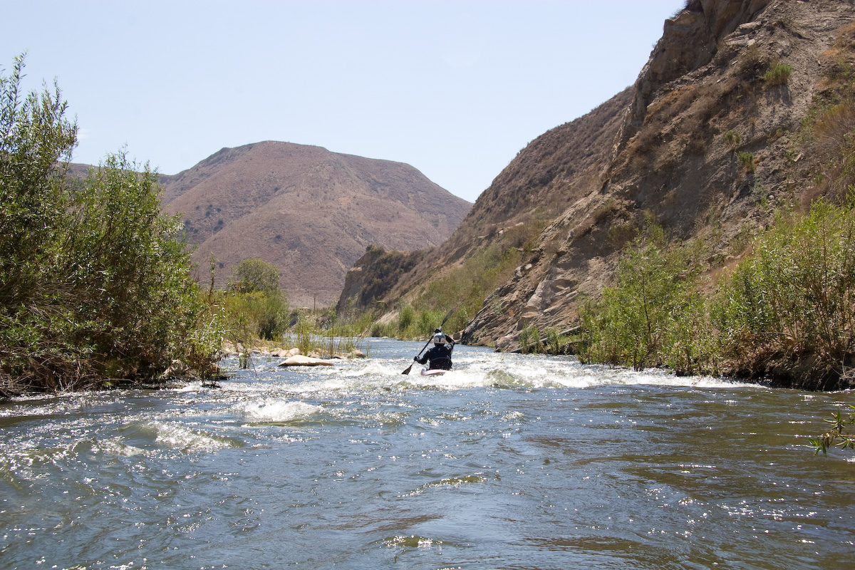
Entering just below the upper bridge we were met with easy class II rapids. Wide enough that the plant brush on the banks were of no issue to us for the first few hundred feet. The flowrate is a guestimated 200 CFS because the USGS website does not hav up to date statistics on current flow rates. After the initial class I and II rapids there the creek takes a gentle bend to the left where the narrowing creek leads to more class I and II rapids. Starting after the next bend the plant brush becomes denser and closer to the creek, with large bushes overhanging the left side. It is at this point that another section of class II rapids is made more difficult by overhanging branches. At this point I was turned sidways in the kayak and flipped in but was able to get inside rather quickly. The following section quiets down a bit giving you some chance to recover and prepare for another difficult section. Next came another class II+ section that was made increasingly difficult by the trees in the way. There is a 2-3 ft drop that has two trees dividing it into three sections. This is where I would either portage my kayak accros this section or take the middle path. The left path had too many reeds, while the right path had a sharp turn where the bank turned in quickly making it difficult to approach straight. After this last difficult part the rest of it is class I up until the next bridge which we got out at, making the whole trip down creek just around half an hour. This included a stop to portage the kayak at the last difficult section. Both above and below the pair of bridges looks to be in far less navigable conditions. Even the section between the bridges gets quite narrow at times because of all the foliage around.