Wildcat Creek (Tellico Tributary)
Source to Tellico River
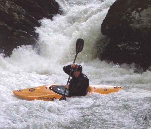
January 8, 2015
| Reporter | Wes Brown |
Ran Wildcat this weekend on January 4th 2015. There were 7-8 wood portages, and another 7-8 that required creative maneuvers to avoid getting out of our boats. We scouted every blind spot to be on the safe side and the run took 3.5 hours. V8/Minigorge was completely clear (!), Reconnection had a tree that didn't really affect running the rapid and The Icing was clear. Only one tree prevented running a decent class 3 type rapid, all other portages were in flat sections or class 2 rapids.
We put on when the Tellico was 6.2 ft and had peaked just 30 minutes prior at 6.7 ft, taking off when the Tellico was 5.1 ft. In the previous 12 hours, the TVA precipitation gauge at Etowah recorded 1.39 inches of rain and the TVA gauge at Cleveland recorded 1.55 inches.
This is a video from our run: https://www.youtube.com/watch?v=PkyxvSFhfcc
Updated river description a bit with more detail on scouting/porting V8, and the put in hike. Runnable level mentioned on the page seems to be pretty accurate, although if the Tellico only peaked at 5 ft, Wildcat would probably be painfully low. Peak probably needs to be at least 6 ft for a low-medium level and timing is important--getting there more than 2-4 hours after the peak may be too long except for rains of 2+ inches.