Anthony Creek
2. Blue Bend Recreation Area to the confluence of the Greenbrier River at Anthony
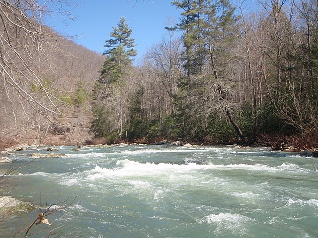
April 2, 2009
| Reporter | Linda McLuckie |
Some friends paddled Anthony Creek over Memorial Day weekend in 2005, when the Greenbrier was about 5000cfs at Alderson. There was no way they could make the attainment, and probably would have ended up well downstream if they had tried to ferry across. Fortunately, there's a trail on the river left side of the Greenbrier. It's a bit over 1/4 mile to the road. IIRC, the trail isn't too rough, so dragging your boat is a good option. If you head down the Greenbrier you might be able to take out about 3 miles downstream at Keister, but you'll still have to walk at least a couple of hundred yards through the woods. I'm inclined to think that if Anthony Creek is high enough to be running, taking the trail back to the bridge is the best option.