Bogachiel
Park Boundary to Hwy 101
March 6, 2026
| Reporter | Monique Cherrier |
| Gauge Reading | 27 ft at BOGACHIEL RIVER NEAR LA PUSH, WA |
| Flow | Medium Runnable |
to get to the Bogachiel trailhead, take undi road, from hwy 101, and then turn left on the Undi cut-off. when you connect with the undi road again- turn left (the only option). drive on a dirt, sometimes rough road until you reach a well signed trailhead.
We explored putting in at the bogachiel trailhead, which can be done, with a 20-30minute hike.( Take the trail, down toward the river, and take the right spur and when you reach the old river bed and growth, follow one of the old curved gravel bars to the river). We elected not to put in here, as we could not confidently determine whether the river was log free at the first set of rapids (at a sharp bend) in the river.
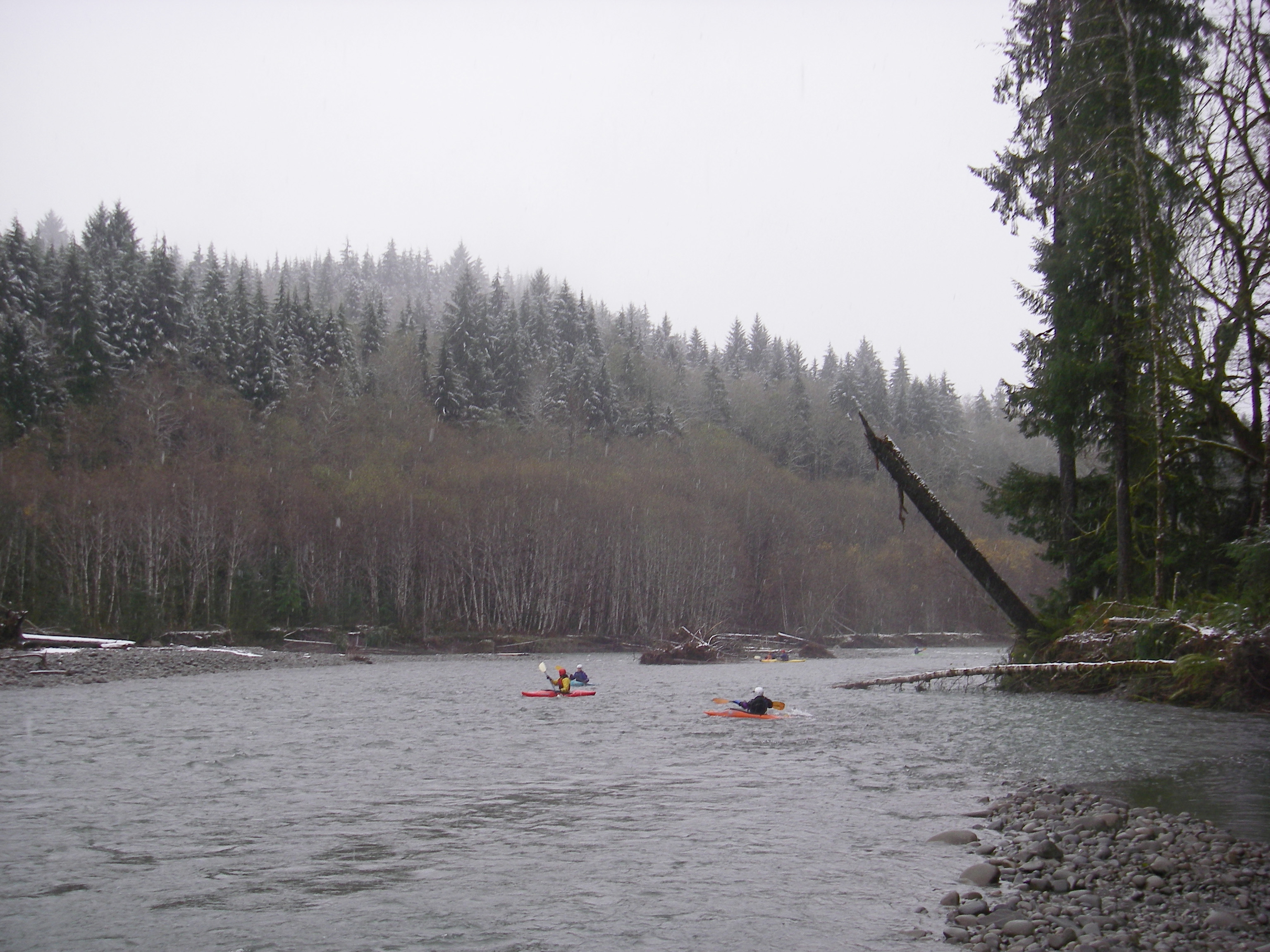
We elected to put in here (47.87529, -124.29268 ) . Parked at a, large pull out on the left side of the road (47.87579, -124.29305), and 50 yards up river from the pull out is a small road/atv spur that goes directly to rivers edge. River has nice class 2 rapids which are fun and often followed by smooth stretches. No major wood obstructions, but there is the typical overhanging trees from the shore or a beached downed tree which can all be navigated around without portaging.
Take out- river left, under the Hwy-101 bridge. You will need to scramble up the mossy rocks, under the bridge and walk right next to the bridge on the highway shoulder. A very high and extensive fence has been constructed on the land SE, and next to the highway and bridge that extends nearly to the river, which makes exiting very close to the bridge necessary.