Waptus
Waptus Lake trail to Salmon La Sac
| Difficulty | II-III+(IV) |
| Length | 2.2 mi |
| Avg Gradient | 64 fpm |
| Reach Info Last Updated | June 5, 2025 |
The Okanogan and Wenatchee National Forests encompass more than four million acres and are jointly managed with headquarters in Wenatchee, Washington. The rivers flowing through these forests are essential to the whitewater paddling community—both as close-to-home runs for Washington residents and as classic objectives for paddlers traveling from across [...]Read More
The Mountains to Sound Greenway stretches more than 100 miles along Interstate 90 from the shores of Puget Sound in Seattle, across Snoqualmie Pass, and into Central Washington. Encompassing over 700,000 acres of public land managed by local, state, and federal agencies, the Greenway protects an extraordinary landscape that [...]Read More
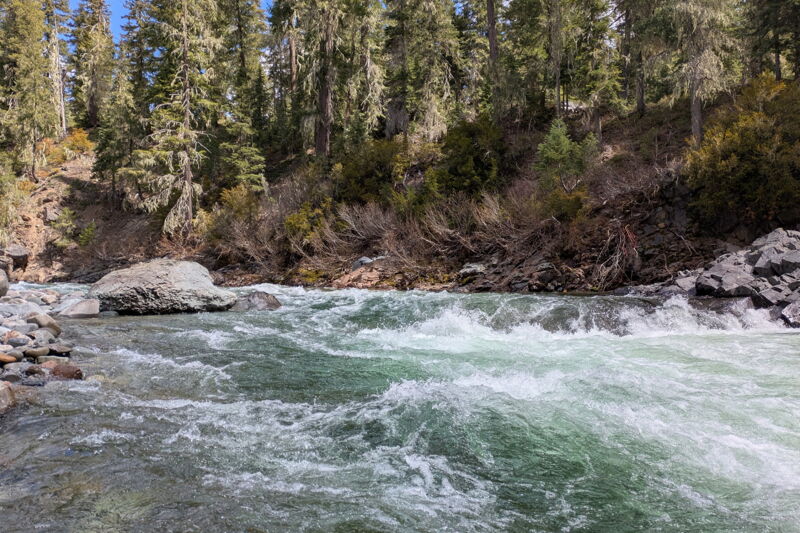
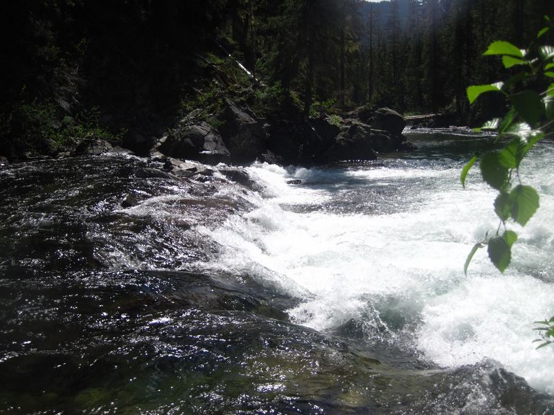
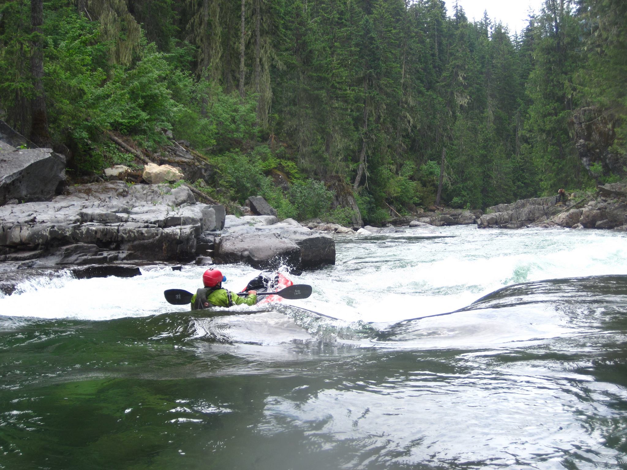
The Waptus River, a significant tributary of the Cle Elum, offers a distinctive Class II-III boating experience in a wilderness setting that stands apart from the steeper nearby runs on the Cle Elum and Cooper Rivers. Flowing through a broad, open valley within the Alpine Lakes Wilderness, the Waptus delivers nearly continuous rapids without major drops, making it an ideal destination for intermediate packrafters seeking a remote adventure that is still accessible as a day trip. The river’s wide channel and minimal sweepers make navigation manageable, while its steady gradient and fun whitewater provide ample excitement. With its clear, cold waters during the typical June snowmelt season, and an approximately 3 mile hike-in approach that limits usage, the Waptus is a rewarding blend of solitude, backcountry travel, and fun whitewater.
The run begins with continuous Class II rapids, interspersed with straightforward Class III sections formed by bedrock ledges. Midway through the journey, paddlers encounter “Little Zeta,” a tight, Z-shaped rapid that marks the most challenging spot on the route. From there, fun and splashy rapids continue all the way to the confluence with the Cle Elum River above China Point. Here, it's important to stay right to avoid the infamous “Waptus Hole.” Once on the Cle Elum, boaters can enjoy the Class III-IV China Gorge section, which provides a fun and challenging finale to the trip and continues downstream to Salmon La Sac.
Access: From I-90, take exit 80 and head toward Roslyn/Salmon La Sac (those arriving from the east can take exit 84). From the freeway, it’s 20 miles to the Salmon La Sac Campground, mostly along Highway 903. Cross the Cle Elum River bridge at the entrance to the campground and park upstream, river right of the bridge. This is the take-out, located on the Cle Elum. To reach the Waptus River, continue on foot from the take-out on the Cle Elum River a short distance on the road to the Salmon La Sac trailh
...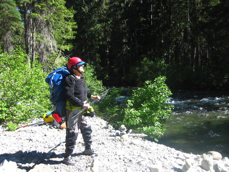
This is a recommended starting point for river journeys where the trail comes up along the river at the confluence of Hour Creek with the Waptus River.
Confluence with the Cle Elum River. The run continues for 1.4 miles on the Cle Elum on down to Salmon La Sac. Be aware of the Waptus Hole at the confluence and China Falls, a class V rapid that is typically portaged on the right, that is just downstream of the confluence.
The trip starts and ends at the Salmon La Sac Campground's day use area adjacent to the river and on the upstream river right side of the Salmon La Sac Bridge. This is the point you drive to where you take out on the Cle Elum River. From this point start your hike a short distance up the road to the trailhead and then continue on the Waptus Lake Trail.