Conasauga
Hickory Creek Trailhead to East Cowpen Road(Upper Upper Conasauga)
November 16, 2011
| Reporter | Les Nicholas |
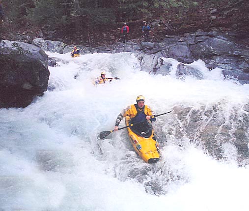
Elbow gauge was 2.5' when we set shuttle, it was under water after the run. Mill creek crested just over 3'. Rough creek was runnable to the confluence with the Upper Upper Conasauga. We gave solid V's to a couple of rapids in the first few miles.
Plenty of water as it had rained around 4-8 am and the creek crested while we were on it.