Snowbird Creek
1. Hooper Bald to Junction(Upper Snowbird)
September 17, 2004
| Reporter | Brad Roberts |
snowbird info New [add to watch]
Forum: BoaterTalk
Re: Some questions on Treemont, Ranses cascades, Snowbird creek (in the smokies) otto New
Date: Feb 04 2004, 21:13 GMT
From: southeastcreekin
I ran snowbird by hiking down from the skyway...first of all if you do this start out EARLY..it takes forever, and you'll need ALOT of water
2nd ...the trail head on the map isn't clearly marked when you get there and takes a little work to find out where you need to go
once you figure out that you are hiking in the right direction its a long walk..several miles before you reach the creek..then a little longer before it becomes large enough to put on. (you'll step over it a couple times while you descend the trail)
you'll paddle alot of flat stuff before reaching the falls..you'll wonder if you are on the right creek
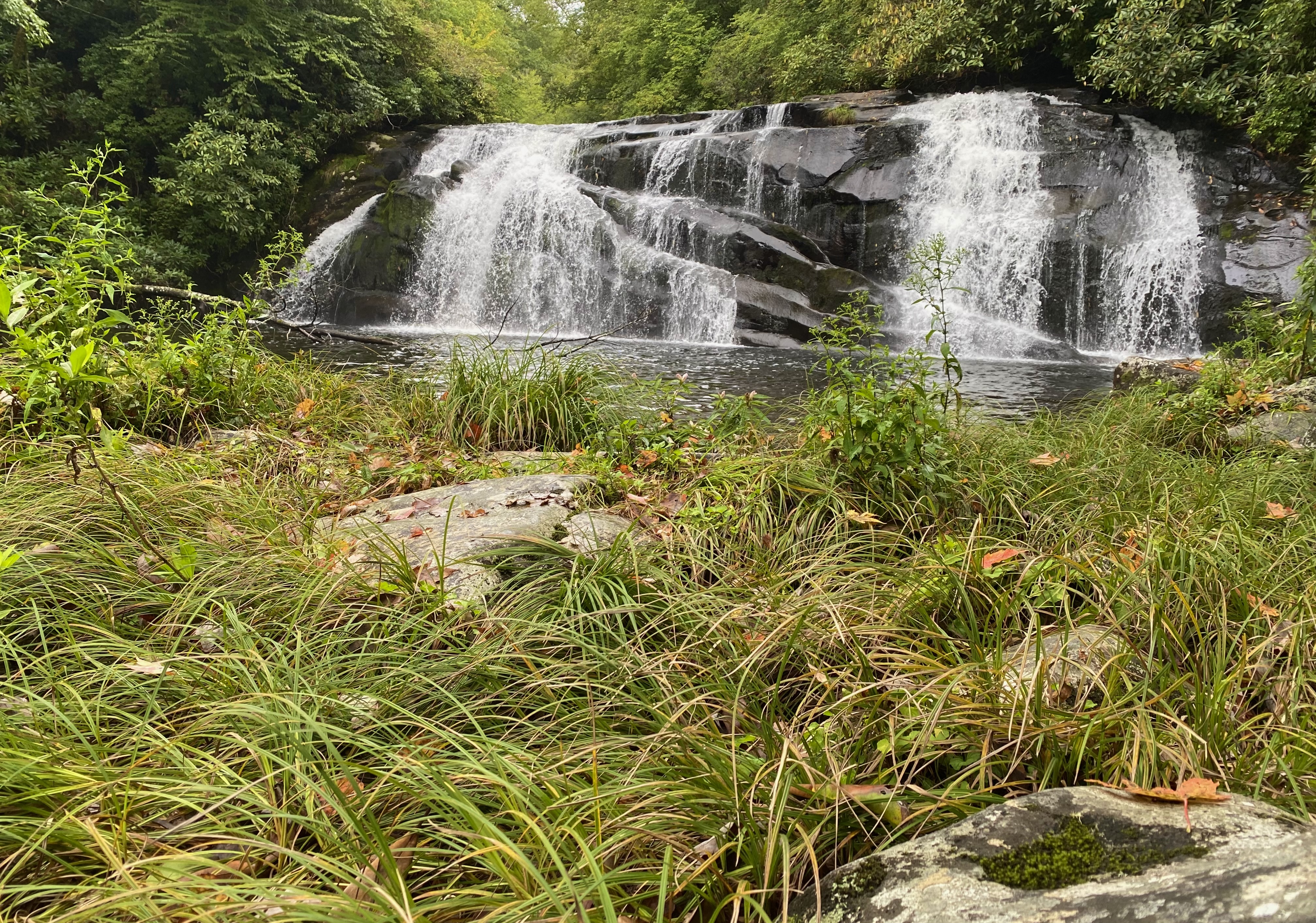
the waterfalls and slides are GREAT!!!! pretty big and challenging.
then the creek turns into continuous fun class three/four stuff...we got screwed by nightfall and had to hike out and missed the last half mile or so....
if I were to do it again and had a medium level at the takeout...I'd hike from the bottom until I reached the big river wide 25-30 footer, and put on above it (it would be a long hike, but an obvious and straightforward trail)...you won't miss much except for a slide or two, but you'll spare yourself the hike in from the top, and alot of work. When the bottom half is running medium the top half won't have much water (tributary effect) and won't be worth the effort (you'll scrape over alot of stuff)...
NOW if the lower is really high...THEN I would consider hiking in from the top and catching the waterfall section, because then it would probably be at a good level. However the lower sections might get kinda out of control and force you to get off and have to hike out...or you could run out of daylight like we did, so make sure you start EARLY..it takes much longer than it looks like it would from reading the map...especially if you have to scout.
all in all..I'd probably just hike up and put on when you get tired of walking
want more info..email me (and if you do it..keep your eyes peeled for a small black pelican box....)
SEC