Virgin
04. Upper Gorge: I-15 at mile 23 to Cedar Pockets Rest Area
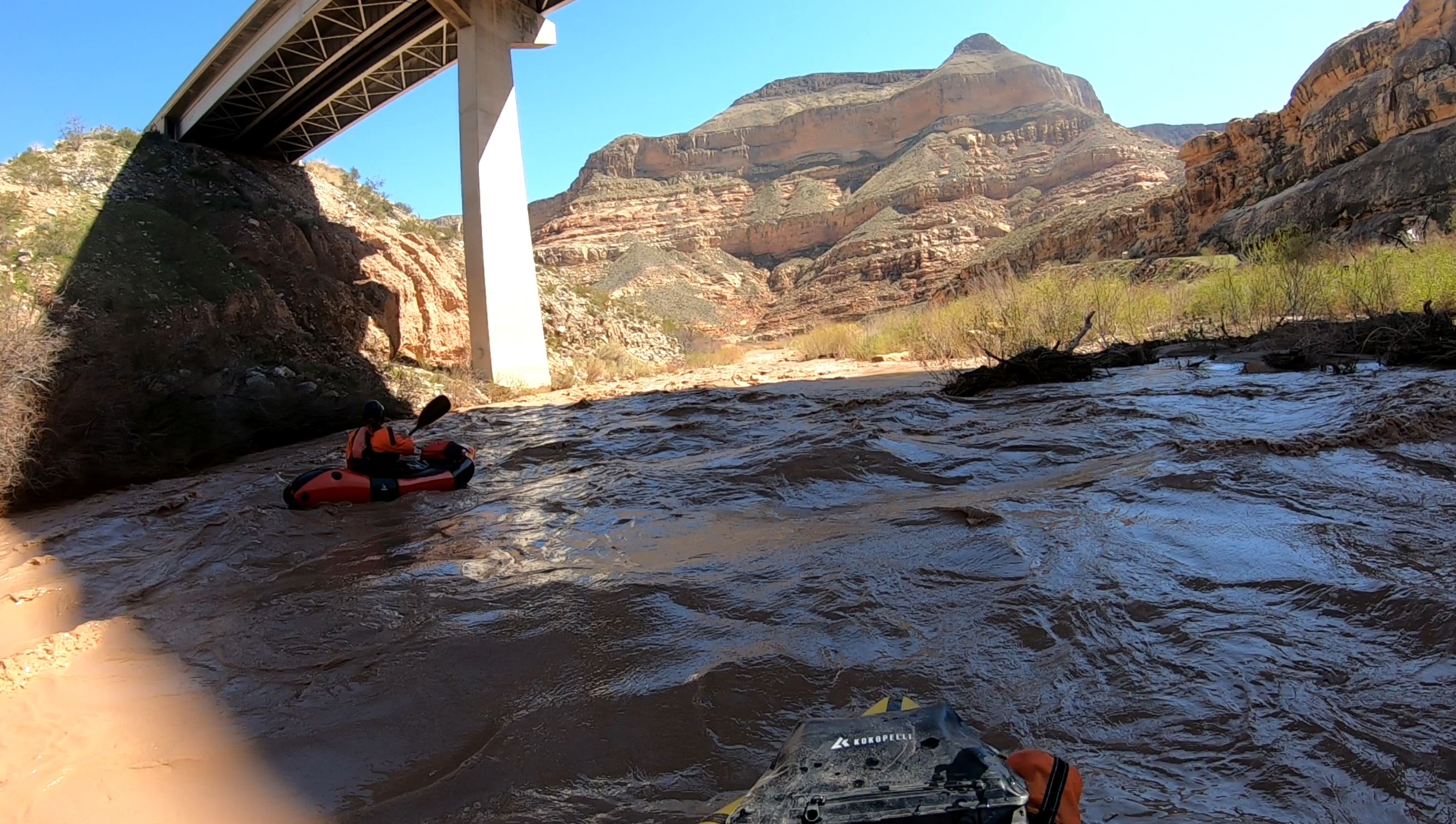
March 6, 2021
| Reporter | Jim Howells |
The concrete fish barrier dam on the Bloomington to I-15 section was raised 3 ft in 2014 without public input. A shallow notch in the center of the span is 40 ft wide, but only 1 ft deep and below about 1,000 cfs might provide a run over the dam. I have observed it at flows up to 3, 000 cfs and have seen video up to 7,000 cfs. At these flows, the barrier dam forms a 180 ft wide, river-wide recirculating hole with about a 15-ft backwash. There are no eddies upstream, swift current river-wide, dense tamarisk on both banks, and 6 ft high concrete wingwalls on both left and right banks, providing no option for portaging within 1/4 mile upstream. I consider this an extreme safety hazard above 1,500 cfs and not runnable. The fish dam is located about 1/4 mile downstream of where a 50 kV power line crosses the river. I formerly maintained the streamgage at the barrier dam (and surveyed the elevations of the dam both before and after the 2014 modification) and have onver 100 runs down the Virgin Gorge.