Potomac
3. Great Falls (Center Lines)(Streamers / Fingers)
October 27, 2008
| Reporter | Scott Anderson |
Thanks for your input. As the streamkeeper, I have to use my best judgment when listing river data. The solutions aren't always ideal, but I will try to explain my rationale with regard to gradient.
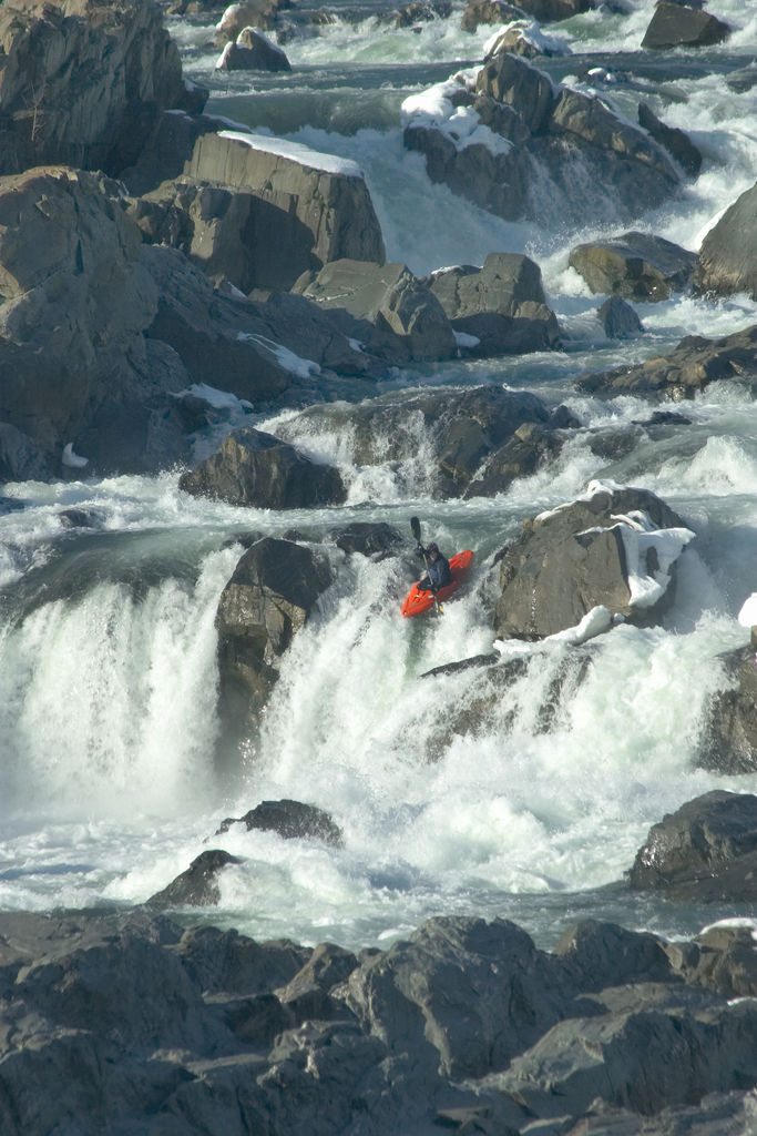
'Please explain how a 1 mile stretch of river can have average gradient of 100 fpm and maximum gradient of 500 fpm.'
The river drops 100 feet between the put-in and the take-out, which are 1 mile apart. So the average gradient is 100 fpm. However, the heart of the run drops 50 feet in 0.1 miles, for a maximum gradient of 500 fpm.
'Maximum gradient figures cited 'up top' should always be computed across a full mile, otherwise they are meaningless.'
Says who? There is no standard way to calculate gradient. Leland Davis calculates gradient mile by mile in NC Rivers & Creeks, but Stafford and McCutcheon use terms like '200 fpm,' '200 fpm action,' and '200 fpm crux' in The New Testament. Which is right?
Great Falls is a park and huck, so calculating gradient mile by mile would be meaningless. Nobody puts in above Great Falls unless they plan on running it. They're not there for the paddle in and the paddle out. The only section that counts is Great Falls itself, which is 500 fpm. I would put '500 fpm crux' if I could, but the AW page builder doesn't give me that option.
Furthermore, removing the 500 fpm maximum gradient from 'up top' could mislead people into thinking Great Falls is no steeper than the Upper Yough.
'If you wish to convey that some shorter portion has steeper gradient, you may express that within the text of the description...'
The description includes the following statement: 'The main Falls lines drop fifty feet in one-tenth of a mile.' The reason I include the maximum gradient up top is that nobody reads the description.