American Whitewater Secures Grant Funding for Wilson Creek USGS Gage (NC)
American Whitewater is pleased to announce that we were awarded a Google Data Center Grant of $5,000 to help fund the USGS water level gage on Wild and Scenic Wilson Creek. American Whitewater worked in partnership with Duke Energy and the USGS on the construction and initial funding for the gage, which came on-line three years ago and has proven invaluable to the recreating public. The water level gage, which requires annual funding, supports thousands of diverse recreationists as they plan trips to Wilson Creek, which offers visitors crystalline water, sandy beaches, and sunny bedrock banks. The gage is a scant 12 miles from Google’s Lenoir, North Carolina Data Center.
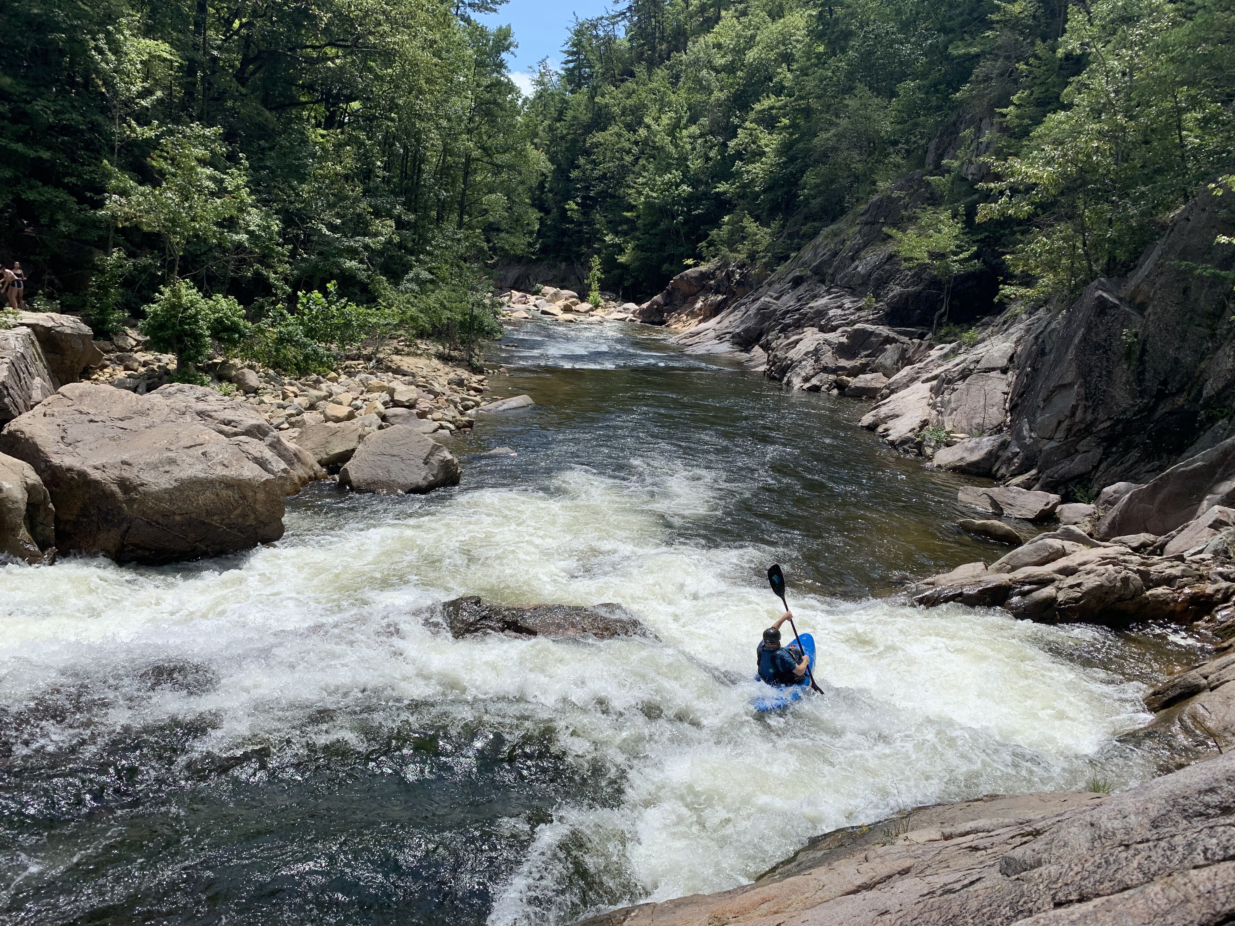
As a wild and free-flowing stream, Wilson Creek’s water levels change quickly following rains. Knowing the levels in this beautiful federally-protected Wild and Scenic River is vital to understanding the quality – and safety – of swimming, fishing, paddling, or just playing in the water on any given day. This online water level information supports healthy outdoor recreation among local residents, and also encourages visitation and related economic benefits from more distant recreationists. Wilson Creek’s status as a federally protected free-flowing stream also makes gathering rigorous hydrology data important as the climate changes and we seek to understand and adapt to those changes.
The online US Geologic Survey gage requires an annual payment of approximately $7,400, and funding is now secured for 2024!