| Difficulty | III |
| Length | 1.2 mi |
| Avg Gradient | 26 fpm |
| Gauge | Deerfield River at Charlemont, Ma |
| Flow Rate as of 27 minutes | 932 cfsrunnable |
| Reach Info Last Updated | May 23, 2018 |
River Description
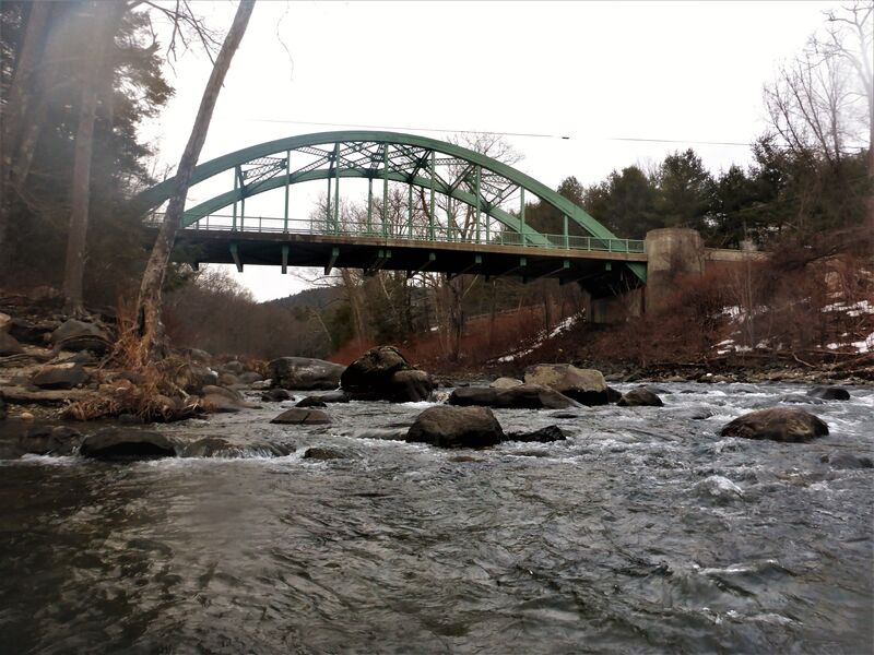
This is a very pretty run on the Deerfield where you put in just below the #4 Dam and take out just above the intersection of Rt 112 and North River Road.
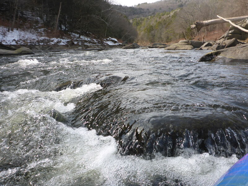
At 2800 CFS (see Waterline, #4 Dam) this is a brisk Class 3 with plenty of nice features. Feels quite secluded on the way down. It is not long, and the shuttle is very short, so you can easily do it two or three times in a day.
I'm told that it is runnable down to about 1500 cfs. You can scout it from the take out and see whether there is enough water. You can't really see the first rapid from the dam at the put in, but if there is water running over the top of the dam there should be enough.
The put in is tough. You have to drag from Rt 2 (dirt road with a gate on Rt 2 westbound just east of the Big Indian, and you can park across Rt 2 in a big lot). Then you get to the dam and you have to get the boat down a big hill to the water. It is worth it, in my opinion, but it ain't easy.
The take out is not too bad, up a hill to North River Road just before the bridge. You'll know you are there because it is the confluence with the North River and there is a very nice lagoon sort of area with big rocks on the left; a great place to hang out, practice rolling or work on your ferries. Careful where you park, though.
Thanks to Ken Glusman and Mike Wevrick for providing info about this little gem.
River Features
Put In
Access PointDistance: 0 mi
Take Out
Access PointDistance: 1.15 mi
Trip Reports
Log in to add a report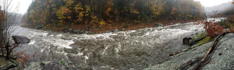
BW
Brad Walker
Jan 1, 1900
At this level, it's a pretty float - flashboards are in, and takeout river right is a few hundred feet beyond the bridges.
BW
Brad Walker
Jan 1, 1900
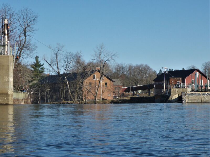
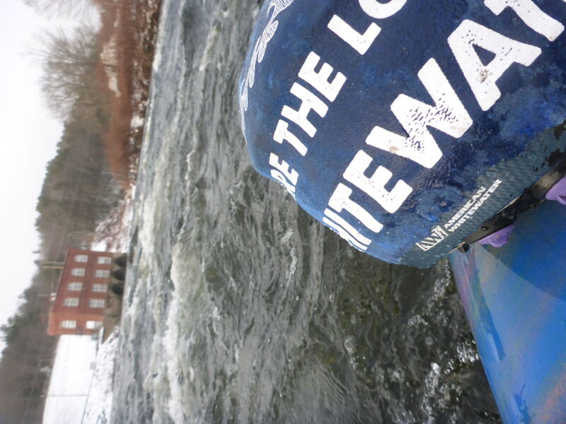
Below mapped section - if you choose to paddle below the North confluence, you will go through Upper Creamery Rapid to this little drop at Lower Creamery. You can park a car on Creamery Road and take out downstream by the power station pictured.
BW
Brad Walker
Jan 1, 1900
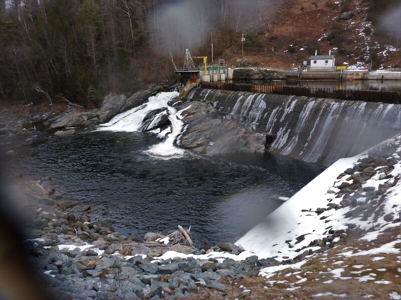
You can paddle to and portage on river Left or park and hike to the dam... steep, rip-rap, some folks choose to rope their boats down
BW
Brad Walker
Jan 1, 1900
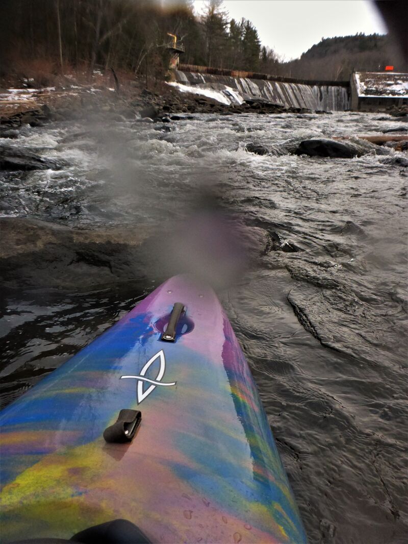
Choose you put-in spot based on comfort. Good sized eddies and pool right below spillway with decent riffles as you exit this area.
BW
Brad Walker
Jan 1, 1900
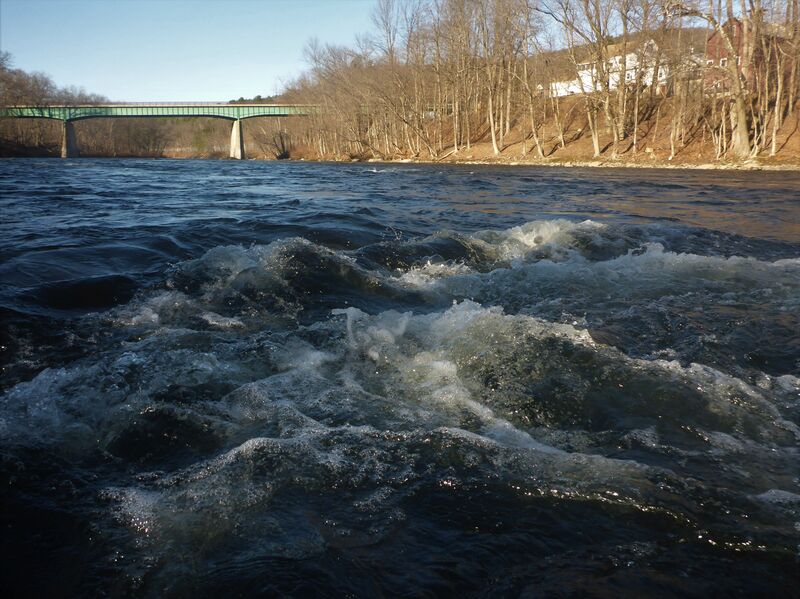
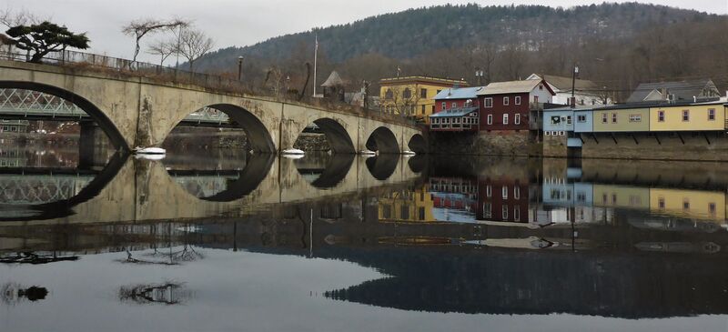
Based on the map, this is the pool area at the takeout. You CAN at good flows keep going straight into downtown Shelburne Falls.
IF YOU DO, it is good to check Dam #3 has all flash boards in place (you can still paddle but understand your risk - you can car-scout via Bridge St) and the best take-out is on river right where the warning barrels meet the fishing pier.
BW
Brad Walker
Jan 1, 1900
If you see this, stay away and be aware of flows... flashboards are out - you have NO protection from going over the dam and directly into the Potholes. DO NOT RUN DAM #3.