Trip Reports
Log in to add a report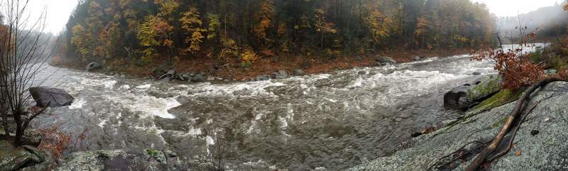
BW
Brad Walker
Jan 1, 1900
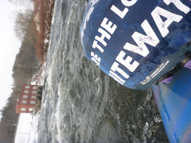
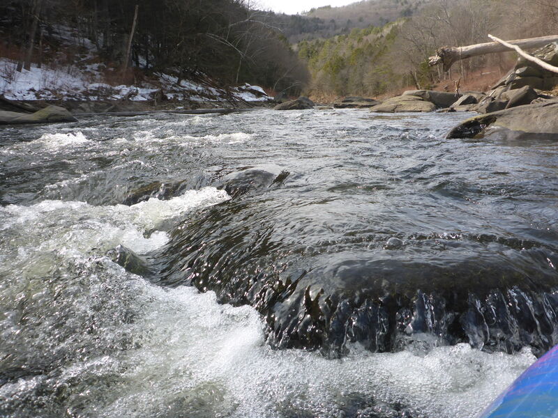
Below mapped section - if you choose to paddle below the North confluence, you will go through Upper Creamery Rapid to this little drop at Lower Creamery. You can park a car on Creamery Road and take out downstream by the power station pictured.
BW
Brad Walker
Jan 1, 1900
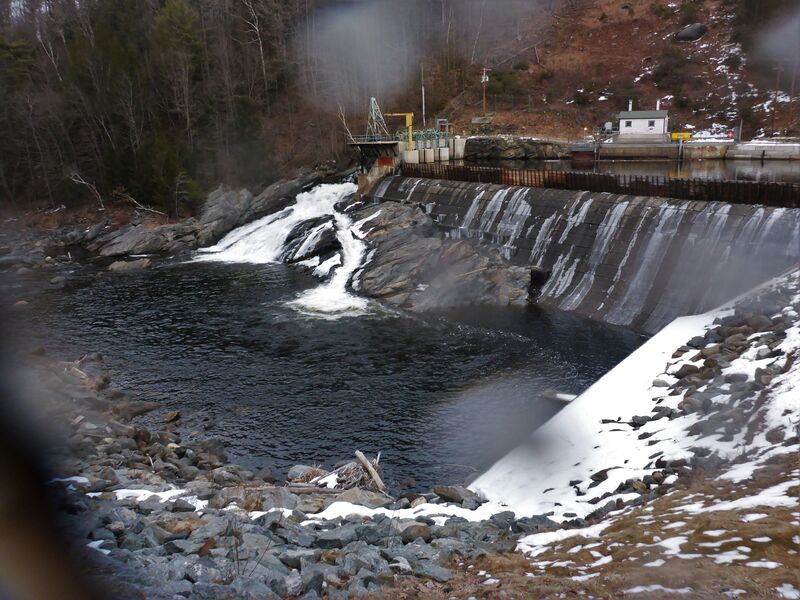
You can paddle to and portage on river Left or park and hike to the dam... steep, rip-rap, some folks choose to rope their boats down
BW
Brad Walker
Jan 1, 1900
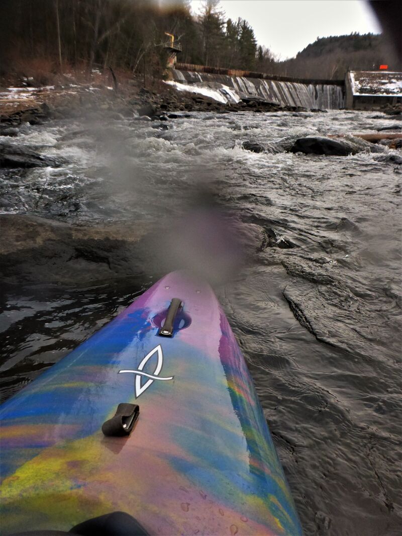
Choose you put-in spot based on comfort. Good sized eddies and pool right below spillway with decent riffles as you exit this area.
BW
Brad Walker
Jan 1, 1900
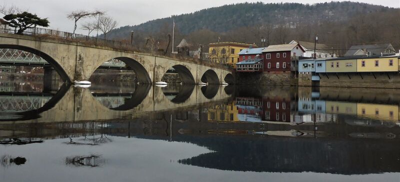
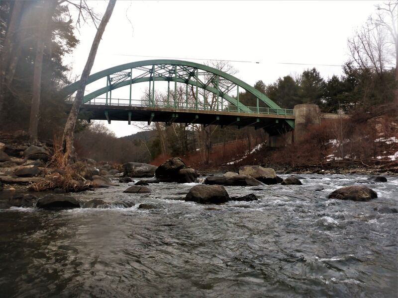
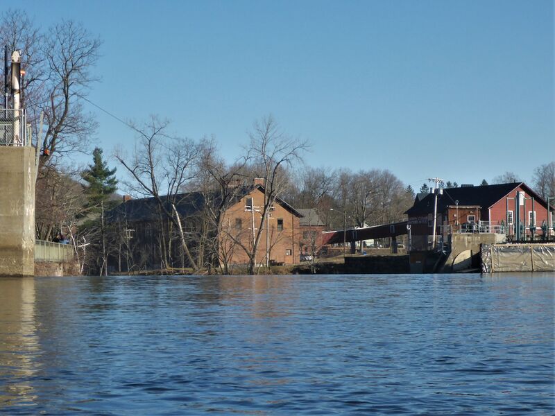
Based on the map, this is the pool area at the takeout. You CAN at good flows keep going straight into downtown Shelburne Falls.
IF YOU DO, it is good to check Dam #3 has all flash boards in place (you can still paddle but understand your risk - you can car-scout via Bridge St) and the best take-out is on river right where the warning barrels meet the fishing pier.
BW
Brad Walker
Jan 1, 1900
If you see this, stay away and be aware of flows... flashboards are out - you have NO protection from going over the dam and directly into the Potholes. DO NOT RUN DAM #3.
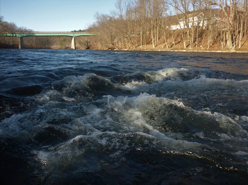
BW
Brad Walker
Jan 1, 1900
Below mapped takeout - that is Route 2 in the photo - when flahsboards are out and flows are over 1200cfs many small waves are in play. Great for locals to get out on, generally not worthy of a special drive to access.